
Outdoor Links
Hike Arizona
Trip Planning Guide
Trip Report Index
Calendar of Events
Library
|
Shaw Butte/North Mountain Day Hike Phoenix Mountains Preserve December 15, 2012 by Dave French |
|
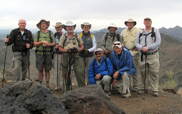 Trailblazers at the top. [photo by by Bill] |
| Chuck, Scott, Dave, Gary, Bruce, George, Jim, Bill, Ned, Michael |
|
Ten hearty hikers met at 8 AM at the North Mountain Visitor’s Center on 7th Street in Phoenix. With rain the prior 36 hours and more expected today, some other hikers had decided to cancel. So the 10 of us donned our jackets and packs and headed out hoping to beat the odds. |
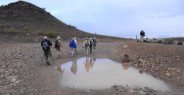 Evidence of recent rains along the trail. |
 “flood retarding structure” |
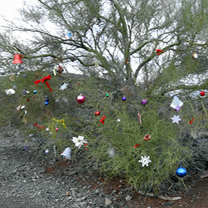 Holiday festivities. |
|
Our mission was to climb two of the 7 summits of Phoenix* starting from the Center (elevation 1390') and proceeding to the top of Shaw Butte (elevation 2149') then back down to elevation 1360 on Trail 100 and up to the top of North Mountain (elevation 2104'). |
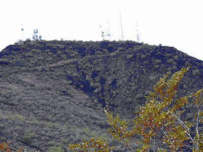 Shaw Butte |
Our path was Trail 306 up the north side of Shaw Butte and down the south side to Trail 100, then north to Trail 101 where we proceeded east and south to Trail 44 leading up to the top of North Mountain. From there we continued on 44 down the south side of North Mountain to the Peoria Avenue Mountain Preserve Picnic Area, where we followed the road to the north end of that picnic area and rejoined 44 back up to Trail 101. |
|
We branched off 101 and followed an unnamed trail that parallels 7th Street back to the Visitor’s Center. The total distance was approximately 7.3 miles. |
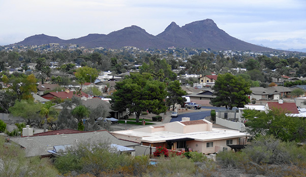 Lookout Mountain, one of the 7 Summits of Phoenix. |
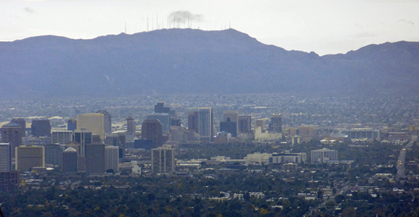 Downtown Phoenix and South Mountain. |
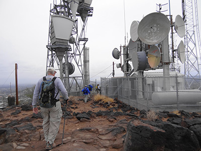 Inspecting the communication devices. We could see the rain moving toward us from the west so two hikers decided they would head back to the Visitor’s Center after descending Shaw Butte. On the way down we saw the remains of the foundation of an old restaurant that burned down prior to City of Phoenix purchasing the property for the preserve. According to Jim, the restaurant was noted for illegal gambling. |
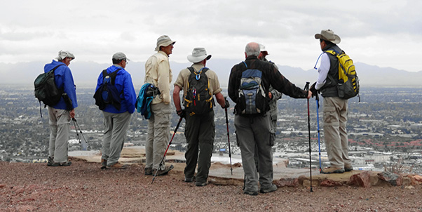 Hikers taking in the view from the restaurant foundation. |
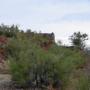 Foundation of an old restaurant. |
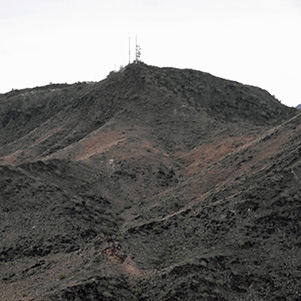 North Mountain, our next destination. |
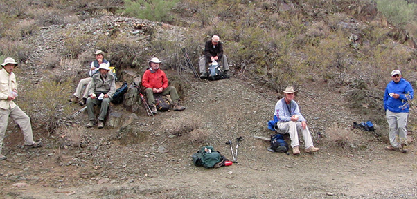 Snack Break. [photo by Bill Zimmermann] |
|
We stopped for a snack break along Trail 101 and the rain intensified. Trail 44 up to the top of North Mountain is well maintained pavement and normally is filled with many exercisers. Today it was pretty quiet. After meeting at the top we descended the south side, which is very steep and rocky. |
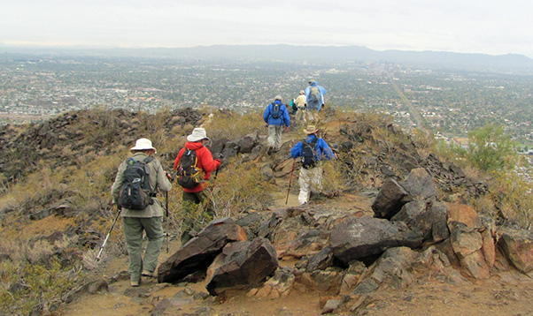 Starting our descent from North Mountain. [photo by Bill Zimmermann] |
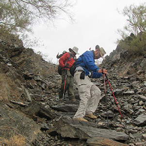 Steep downhill. [photo by Bill Zimmermann] |
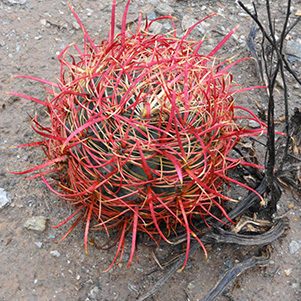 Fishhook barrel cactus in holiday color. |
|
Back at the Visitor’s Center, eight wet and weary hikers were happy to see their vehicles. Five of us went for lunch and beers at Charr’s, a nearby restaurant that specializes in gourmet burgers. |
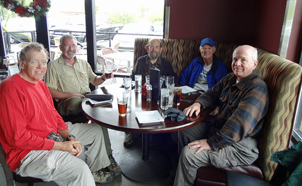 At lunch: Bill, Gary, Jim, Dave and Chuck. |
| * | The 7, in order of height, are Camelback, South Mountain, Piestewa Peak, Shaw Butte, North Mountain, Lookout Mountain, and Shadow Mountain. |
 Top of Page
Arizona Trailblazers Hiking Club, Phoenix, Arizona
Comments? Send them to the AZHC .
updated May 29, 2020