
Outdoor Links
Hike Arizona
Trip Planning Guide
Trip Report Index
Calendar of Events
Library
|
Camelback Mountain Day Hike Phoenix December 11, 2014 by Dave French |
|
|
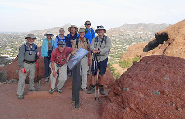
| John, Billie, Dottie, Bill, Helene, Dave, Nancy, Greg |
|
The Arizona Trailblazers often seek out remote wilderness areas and rugged pine-studded mountains to climb and satisfy our need to challenge ourselves. Well guess what! We have a hugely challenging mountain right in our front yards: Camelback Mountain. It rises to an elevation of 2704 feet from a base of about 1400 for a total elevation gain of over 1300 feet. It is the tallest peak in the Phoenix Metropolitan Area and its most recognizable landmark. |
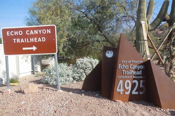 Trailhead. [photo by John] |
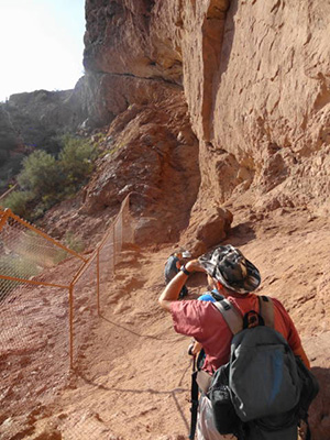 Bill says “Are you kidding me?” It does not offer the solitude that most of us seek as devoted hikers. So, I decided to lead a rare midweek hike to avoid the crowds and revisit this famous mountain since it has been 7 or 8 years since I last hiked it. To make it a worthy challenge for the hearty Arizona Trailblazers, I decided to do an over and back trip – start at Echo Canyon, hike to the summit, then down the Cholla Trail and back up to the summit and back to Echo. I judged it to be not more than six miles with a total elevation gain of about 2600 feet. We have done hikes longer than that and have gained more elevation than that. I suckered seven other hikers to go with me. Knowing the limited parking spaces, we agreed to form two carpools of four each and meet at the Echo Canyon Trailhead at 9 AM. It was a cool 60 degrees with partially overcast skies and a smoky haze in the air. Earlier this year, the City of Phoenix completed an overhaul of the trailhead with new restrooms and signs, greatly expanded parking area, and rerouted the beginning of the trail down through a wash and then up to the old trail that begins the very steep ascent to the summit. We had no difficulty finding a place to park even though there were a lot of cars in the expanded lot. |
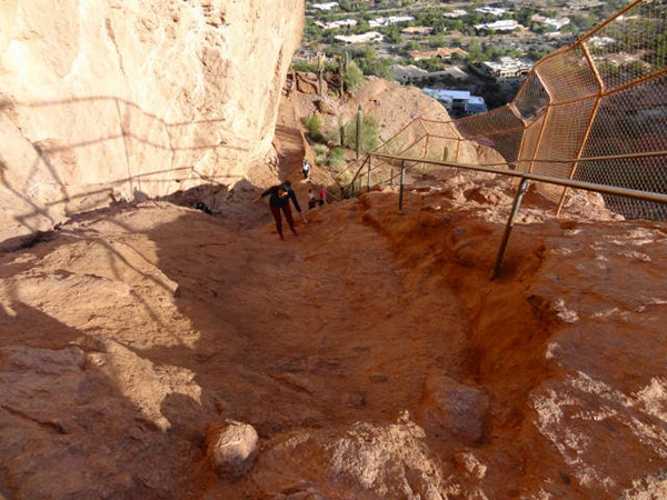 Looking back at the first steep climb. |
|
With smiles on our faces and great anticipation, we began the trek. Most of the hikers had not been on Camelback Mountain before so they were particularly looking forward it this hike. This included a couple from Ottawa spending six weeks in Arizona as part of a year-long tour of the US. We stopped for the group picture about 1/3 mile up the trail with Piestewa Peak in the background. |
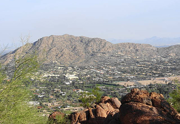 Mummy Mountain. |
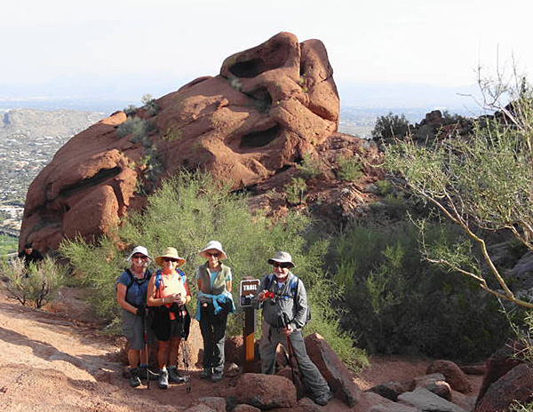 Quick break and photo op. |
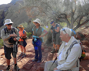 Taking a break to visit with another hiker. |
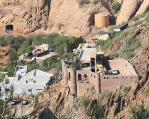 Looking down at famous castle. |
|
Starting up the trail, we encountered a long series of steps formed by long “railroad ties”. Due to erosion, some of the steps were three feet high. A chain link fence borders the outside of the trail to prevent idiots from throwing rocks at the houses below. The trail then steepens and a metal hand rail is provided so that hikers can pull themselves up and rappel down. At about half mile up, the trail levels for a while and we got some great views of Mummy Mountain and the Town of Paradise Valley to the north, and a window opportunity to view some of the castles (literally and figuratively) on the south side. Then the fun began. The trail became very rocky and steep, with lots of big steps and rock scrambling. This condition persisted all the way to the summit a trail distance of 1.3 miles. It took us about two hours to make this climb. Much longer than I anticipated. |
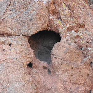 Hole in the rock. |
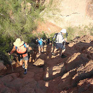 OK, now it gets serious. |
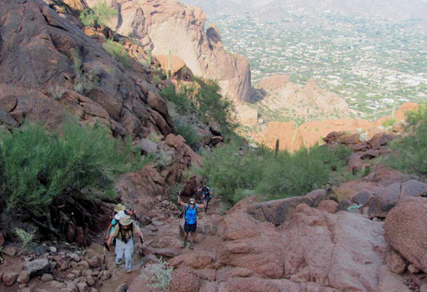 ... and continues serious. [photo by Bill] |
|
At the top we assembled for another group picture. There are always lots of other hikers around willing to operate the camera for us so no fumbling with tripods and delayed camera settings. Some hardy souls carried Christmas trees to the summit complete with some decorations. After a brief break and snacks, we started down the east side of the mountain on the Cholla Trail. The upper portion of this trail is even more challenging with lots of boulder scrambling, cliff hanging, butt scooting, and using every other sophisticated hiker technique. It was discouraging to see the young hard bodies standing by watching with a grin as us old hikers picked our way down. After a while the trail levels out and is much more like a traditional hiking trail, more so than the Echo side. We had great views of Scottsdale and the SRPMIC Indian Reservation, the Phoenician Resort and the East Valley. |
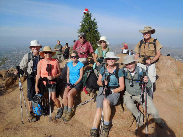 Group at the summit: Greg, Helene, Nancy, Bill, Billie, Dottie, John, Dave. |
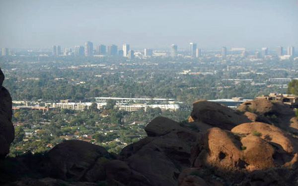 The city viewed from the summit. [photo by John] |
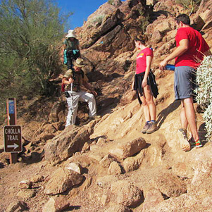 Young hard bodies watch with amusement. [photo by Bill] |
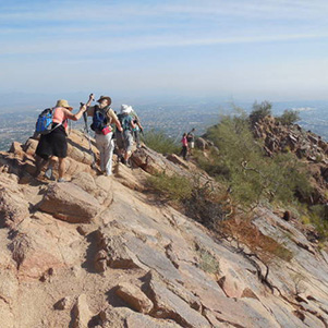 Picking our way down Cholla Trail. [photo by John] |
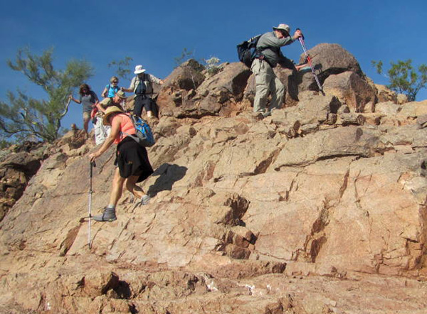 Cliff hanger. [photo by Bill] |
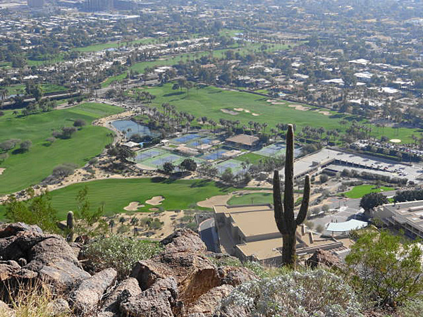 View of Phoenician Resort |
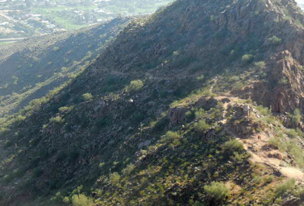 Great, the trail does actually level out. [photo by John] |
|
We hiked down about a mile and I decided it was time to turn around and head back up. Four of the hikers decided they had had enough of the boulder scrambling and decided to continue down the Cholla Trail and walk north on Invergordon Street and then west along McDonald Drive back to the trailhead – a distance of about three miles from where we turned around. The remaining four took the “short cut” over the summit a distance of about 2.3 miles (but it took us an hour and twenty minutes longer). |
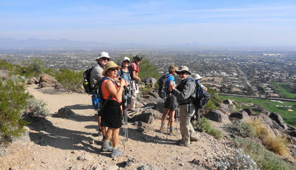 OK, it is time to head back up to the summit. |
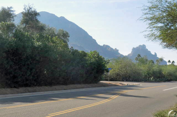 Praying Monk view from McDonald Drive. [photo by John] |
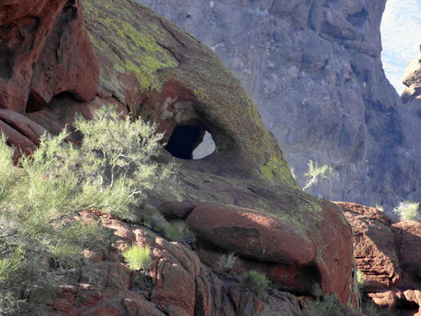 Window seen on the way down Echo. |
|
The four of us trudged back up the Cholla Trail, scrambled through the boulders again and back to the summit for a quick break and snack. We then began the long climb down through the jumble of boulders and sharp rocks. That type of hiking is the most difficult for this old hiker. I knew I would be the slowest so I did not stop. The others would get ahead of me, wait till I caught up and then we would continue on. |
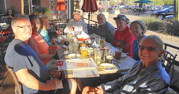 The best part of the hike at Z Tejas. |
|
We reached the bottom and found the rest of our well-rested hiking party. I had advised in the pre-hike communications that it would take 4 hours. Well, it took over 6 hours. The total distance for the over and back hike was 4.5 miles and for the over and road hike was 5.3 miles. Afterwards we went to Z Tejas at Shea and Tatum for some well-deserved drinks and food. |
 Top of Page
Arizona Trailblazers Hiking Club, Phoenix, Arizona
Comments? Send them to the AZHC .
updated May 28, 2020