
Outdoor Links
Hike Arizona
Trip Planning Guide
Trip Report Index
Calendar of Events
Library
|
Shaw Butte Day Hike Phoenix September 20, 2014 by Lance Ware |
|
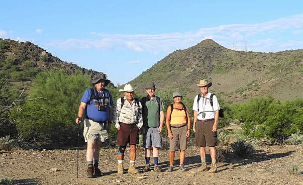 Ready to hit the trail. Left to right: Michael, Rudy, Lance, Sana, Dave. [photo by Dave] |
|
This day was originally scheduled for hiking O’Leary Peak up near Flagstaff. The weather did not cooperate however, so we decided to stay in Phoenix and do the trail to the top of Shaw Butte in the Phoenix Mountains Preserve. Five hikers showed up in the early morning to tackle this summit. We were glad to have with us club member Dave who volunteers at the Visitor Center there and is very familiar with the area. We started at the North Mountain Visitor Center on 7th Street and took the 100 trail to connect with the 306 loop trail which climbs Shaw Butte. We decided to challenge ourselves and go in a clockwise direction, which is a bit more rugged and steep than going the opposite way. We made our way along a fairly level stretch until reaching the slopes of Shaw Butte near its southern end. The climb was fairly steep on a rocky dirt path. |
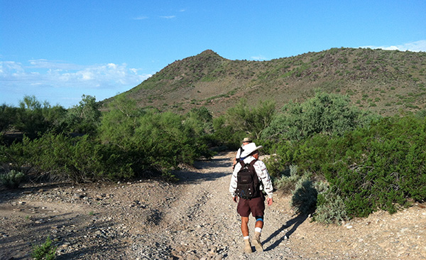 We begin our trek at the base of the hills in the Preserve. |
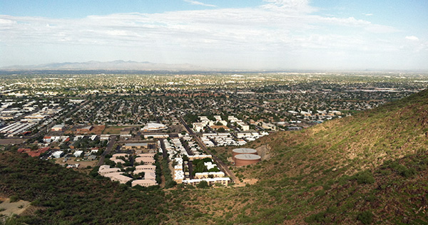 View of Phoenix looking west, part way up Shaw Butte. |
|
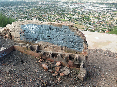
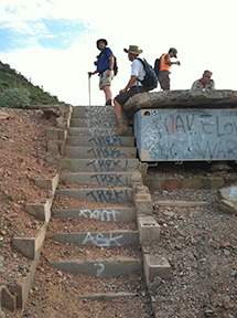
About three quarters of the way up we encountered the ruins of the Cloud Nine restaurant. This establishment was in business in the early 1960s until it burned down in 1964. All that remains are concrete foundations, steps, and portions of walls. We stopped for a short while to check out the site and hear a brief history lesson from Dave. |
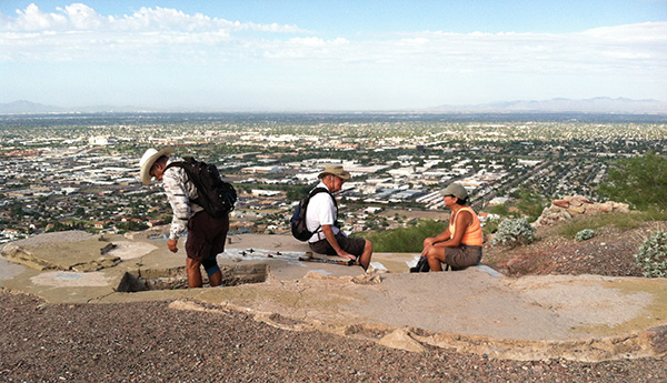 Examining the ruins of the Cloud Nine Restaurant. Dave explains some of the history. |
|
|
| Remains of walls and a staircase. | |
|
As we neared the top, we could hear the hum of the transmission towers. We took a side road to the right to reach the summit at 2149 feet where we had a great view of the surrounding area. We stopped there to rest and snack before heading back down the opposite side of the mountain. |
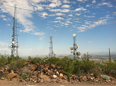
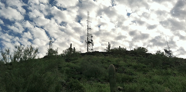 Towers at the peak against a backdrop of clouds. |
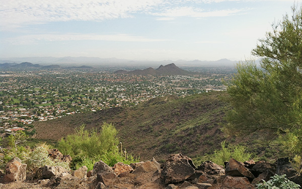 View looking north to Lookout Mountain. |
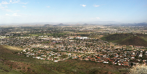 Another view from the top. |

|
|
| Towers and dishes at the summit. | |
|
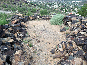
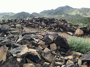
On the way down Dave guided us to a short side trail that leads to an archaeological site on the north slope of the mountain. We paused there for a while to examine the petroglyphs and remains of rock walls, evidence of people dwelling there in earlier times. |
|
|
| Remains of rock walls. | |
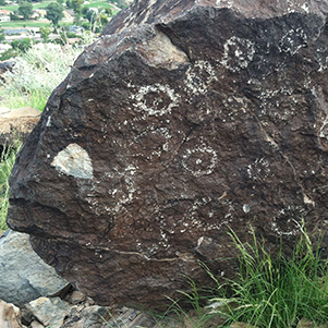
|
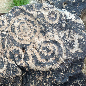
|
| Petroglyphs from a bygone era. | |
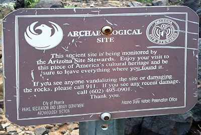 This sign was a bit off-trail, hidden behind some bushes. |
After completing the 304 trail loop we returned the way we came, back to the Visitor Center, a total of about 5.4 miles round trip. All along the route we saw myriads of yellow- and black-striped caterpillars crawling along the ground, some succumbing to the soles and tires of hikers and bikers. They turned out to be the larva of the White-lined Sphinx Moth, probably forced out of their burrows by the recent rains. |
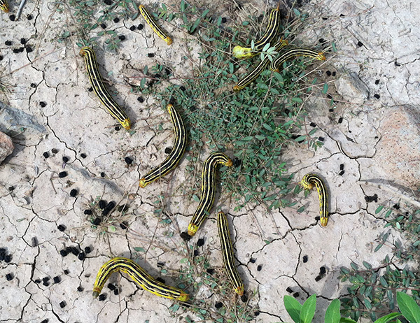 These critters were all over the place. Sphinx moth caterpillars. |
|
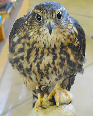
Following the hike we went to the visitor center where there were various exhibits about the natural and human history of the area. A ranger was sitting at a table holding a falcon in a gloved hand. Beside them was a great horned owl docilely perched and carefully watching all who came by. |

|
|
| Great-horned owl and falcon at the visitor center. [right photo by Dave] | |
 Top of Page
Arizona Trailblazers Hiking Club, Phoenix, Arizona
Comments? Send them to the AZHC .
updated May 29, 2020