
Outdoor Links
Hike Arizona
Trip Planning Guide
Trip Report Index
Calendar of Events
Library
|
Thunderbird Loop Day Hike Glendale February 1, 2014 by Wendy Rennert |
|
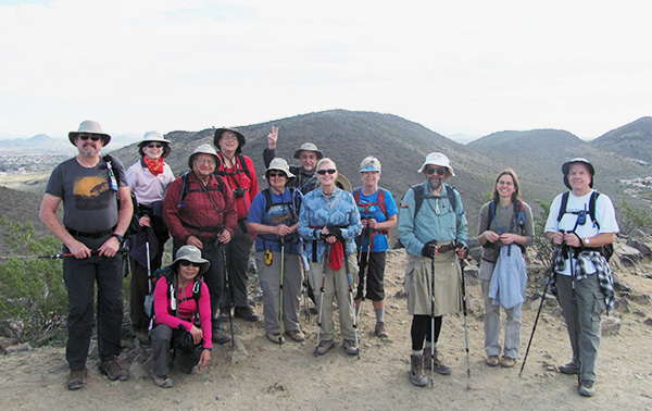 John S., Wendy, Quy, Ted, Michael, Monika, John R., Dottie, Sally, Jim, Anikó, Chuck |
|
Another beautiful Arizona day! This year, our annual hike leader training was held at the outdoor amphitheater of Thunderbird Conservation Park in Glendale, AZ. The park took its name from the former World War II pilot training facility located four miles south of the park. Interesting side note about the pilot training facility: Thunderbird Field began in 1939 as a collaborative project by Hollywood agent and producer Leland Hayward, former Air Service pilot John H. “Jack” Connelly, and Life magazine photographer John Swope, founders of Southwest Airways (no relation to the current Southwest Airlines). Backed by investors that included actor Jimmy Stewart, singer-actor Hoagy Carmichael, Cary Grant, Henry Fonda, Robert Taylor, and Margaret Sullivan, construction of the pilot training facility began on January 2, 1941, and was completed in three months. Speaking of training, we began our day with the hike leader training. Jim started with some introductory remarks, then Wendy, Ted and Chuck each took turns presenting parts of the material. |
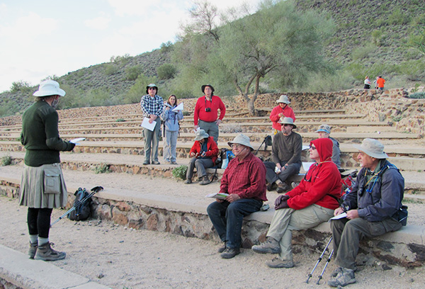 Jim, imparting words of wisdom. |
 Wendy [photo by Quy] |
 Chuck [photo by Quy] |
|
We had estimated about 45 minutes for the training, but we ended up talking for about 1 1/2 hours, including fielding a few questions about what to do if you encounter a rattlesnake. We appreciate everyone’s attention and interest in the training! We already have a couple of new leaders starting to plan hikes, so we are looking forward to seeing them in action on the trails! On with today’s hike! The chosen route was designed so that we could all hike together for as long as possible before parting ways on our chosen options (a few only did the first loop, and then about half of the remaining people also did the 2nd loop, while the other half also took on the 3rd loop). |
|
|
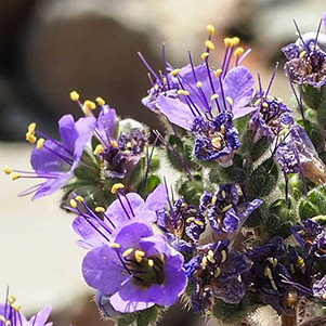
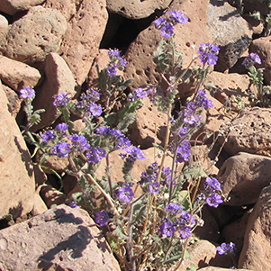
| [photo by Quy] Desert Bells were out in full force. [photo by Wendy] | |
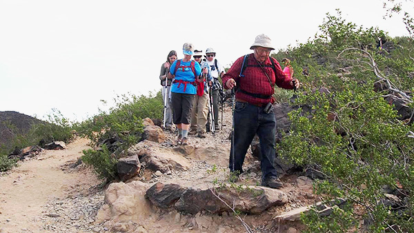 Easy does it on the way down from the first summit! [photo by Quy] |
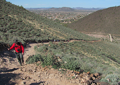 From this view point, loop 1 is nowhere in sight 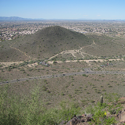 There it is! Loop 1 and the amphitheater, as seen from Loop 2. |
Our first loop consisted of parts of the Sunrise, Ridgeline and Coach Whip Trails, starting from and ending at the amphitheater. There were lots and lots of hikers (and joggers) on this popular urban trail today, most of them were regulars just out for their quick morning exercise before getting on with their day. Our group, however, was in for more of a medium to long haul as far as urban hikes go. You could tell the difference because we all had larger packs and many of us had hiking poles, walkie talkies, GPS’s: the works. One of the regulars named Darren befriended Ted along the descent of the first summit, and said he was inspired by us (he was fairly young, so apparently he meant he was inspired by how us “old farts” could make it to the summit – as if to say “if we can do it, he can push himself to do it too”). C’mon, it’s pretty easy, and we’re not that old, but hey, if we’re inspiring you to keep on hikin’, then who am I to argue? |
|
As we finished the first loop, we came upon the ramadas and restrooms, so it was a good breaking point. It was also the point where 3 of our hikers departed to get on with their busy days. Now we’re down to 9 Trailblazers. Across the parking lot and up to the pedestrian bridge we go, crossing over 59th Avenue to our 2nd loop, which was Arrowhead Point. |
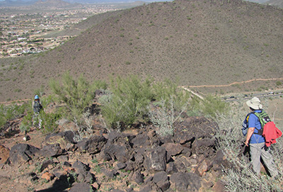 Where is that darn geocache? |
A steady ascent makes its way up to what some people thought was the top, but it was just an intermediate resting point on the way up to the actual summit. The views from this first resting point were refreshing – the waterfront homes of Arrowhead Lakes. With these being small, very still watering holes, we pondered whether those homes have any insect issues ... |
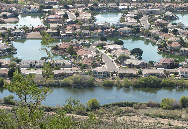 Are we in Florida or Arizona? Water, water, everywhere! |
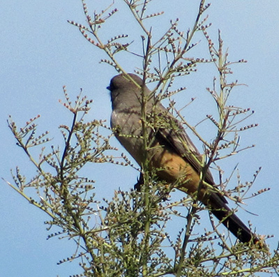 A bird took a rest break with us. Not long after that point, we reached the actual summit of the 2nd loop. An American flag greeted us, and it beckoned us to take a few photos. The Iwo Jima-like photos we took was a nod to my dad – my mom said he was on one of the supply ships to the Pacific islands in WWII, and they apparently helped to restock the men after they had been fighting there a while. We spent a while here taking turns climbing the small mound of rocks to pose for the camera with the flag. There was also a log book in a metal box, so Anikó did the honors and signed us in. |
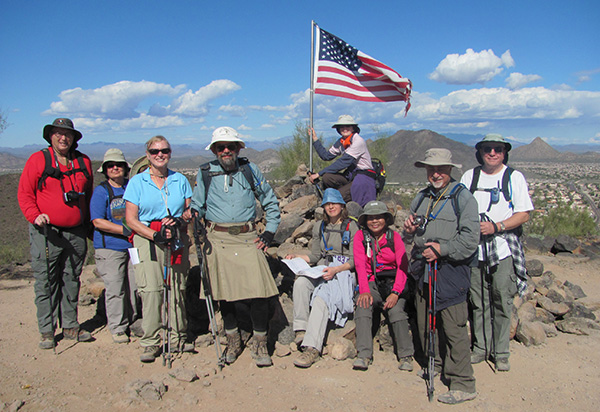 Old Glory and our gang of 9. |
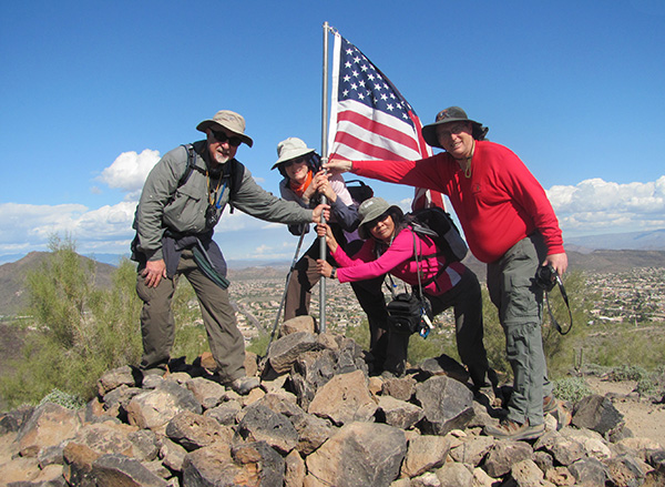 Trying to recreate the Iwo Jima famous pose. |
|
We then made our way down and around loop 2. Another side note: The hills that make up the park were named for Robert Hedgpeth, an early homesteader in the area. The geology of these hills is predominately basaltic lava of early Tertiary age. |
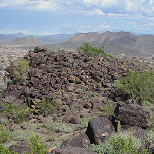 Lavaland! |
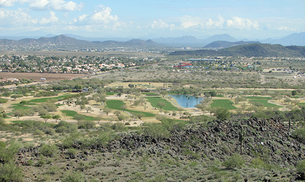 Views of the 500 Golf Club and Wet n’ Wild water park. |
|
Before we knew it, it was time to bid a temporary ‘adieu’ to half of our group. Four of us made our way back to the trailhead, and the other five continued onward to the 3rd loop - the Cholla Loop. I appointed Michael the deputy hike leader of that group. They crossed back over to the other side at the light at 55th Ave. and Pinnacle Peak, while we continued on the Arrowhead Loop back over the pedestrian bridge. |
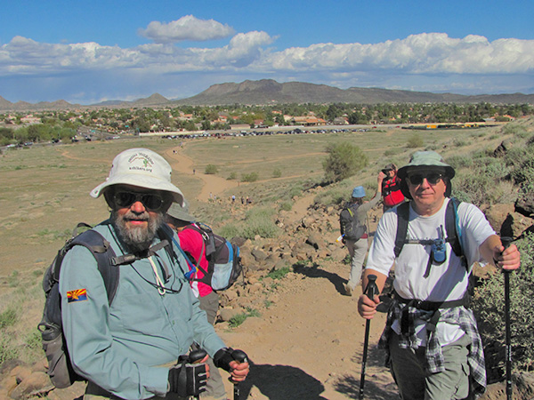 A temporary parting of the ways. |
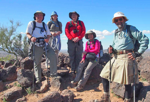 At the top of the 3rd summit. [photo by Quy] |
|
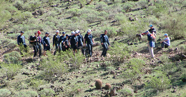
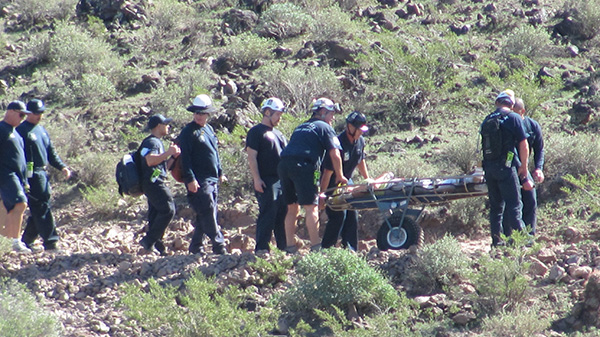
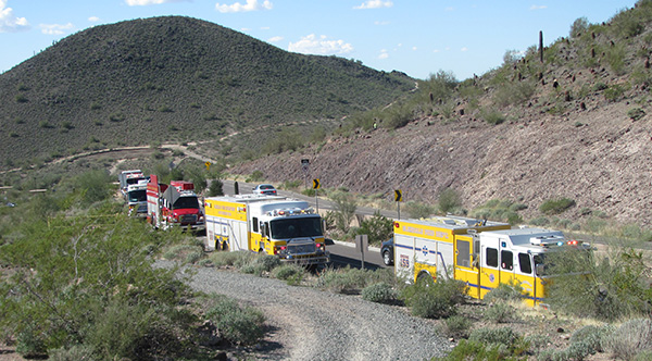
Those of us going back to the trailhead at that point passed by a rescue in progress. Apparently a woman had fallen and broken her ankle on the trail, and there were 10, yes I said 10, fire trucks and 15-20 firemen on the scene hiking up the mountain and carting her down in a rolling cart. Glendale’s Rapid Response Team and Special Operations Team was there, as was Peoria’s Technical Rescue team. We were not sure if the park sits right on the border of the three jurisdictions represented by the fire trucks (Glendale, Peoria and Phoenix), or how there came to be so many trucks, but it was quite a spectacle. Was that all for one person, or was there some sort of pile up on the trail? We wondered. Nope, just one person injured. |
| Technical rescue in progress: |
|
|
|
|
Ladies, that was the place to be to check out lots of very in-shape firemen! It was of course unfortunate for the woman who hurt her ankle, but it served as a very good reminder of why we do the hike leader training in the first place, so that nobody on our hikes ends up injured like this woman did. I was just telling everyone earlier that morning how a lot of rocks had been cleared from these trails within the last couple of years, which made the hike somewhat smoother than in the past, but it goes to show that you still have to be careful and always pay attention to where you are stepping. While Monika and I waited for the Cholla loop group to return, we grabbed a bite at the nearby Chicago Gyros, which is where the Cholla loop group ended up going once they finished the hike. Tasty food, large portions—we give it a two thumbs up! Thanks to everyone who attended hike leader training and joined me on the hike! Stay safe out there! |
 Top of Page
Arizona Trailblazers Hiking Club, Phoenix, Arizona
Comments? Send them to the AZHC .
updated January 1, 2020