Outdoor Links
Hike Arizona
Trip Planning Guide
Trip Report Index
Calendar of Events
Library
|
Arizona Trail, passage 28 Mogollon Rim August 21, 2010 by Bill Zimmermann |
|
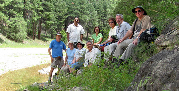 Bill, Sandy, Ajay, Monica, Arturo, Quy, Karen, Gary, Chuck |
|
Thanks to Sandy and Gary for driving. We packed nine hikers into two cars. After checking GPS we left FR 123 and traveled east a short distance on an unnamed road. We parked the cars in a clearing under the powerline (marked “AZT28 TH” on the map). We traveled north under the power lines looking for the Arizona Trail. We crossed a ravine on the east side of a suspended aqueduct and continued northward until it re-joined FR 123. At the GPS location “AZT1” described in the book, we found the trail on the left (west side of the road). |
|
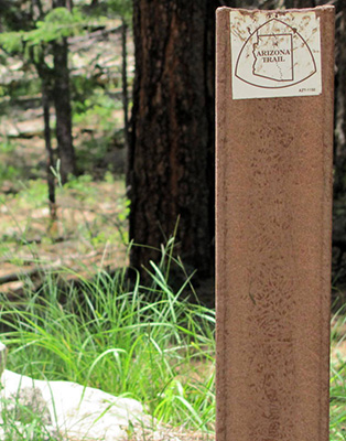
We were greeted with a Forest Service posting stating that the trail was closed due to a prescribed burn. The posting was dated July 17. Not seeing or smelling smoke, we continued on. |
 |
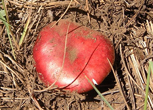 |
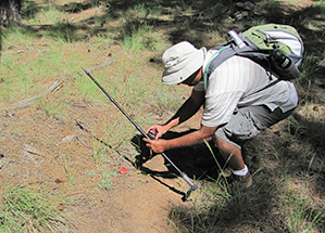
| A red mushroom poses for Ajay. | |
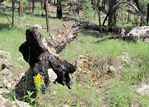 New life is marked with a graceful wooden arch. |
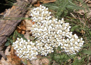 Western yarrow [photo by Ajay] |
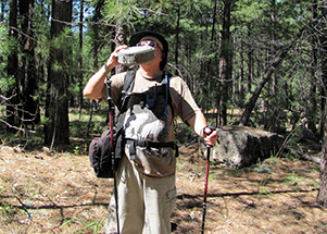 Chuck’s canteen … good to the very last drop! |
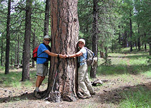 It takes two to hug these big trees. |
|
We hiked to the creek where everyone kicked back and had lunch. Thickened smoke on the hillside north of the creek was the clue to head back. |
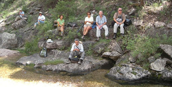 Idyllic lunch by the waters of East Clear Creek [photo by Ajay]. |
|
On the return five of us picked up the trail on the east side of FR 123 and followed it back to the cars. It twice crossed the same powerline path and ended just fifty yards east of the cars. Lots of mushroom picture taking. We enjoyed a cold beer as we undid our boots … followed with dinner in Payson. |
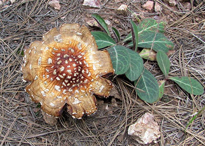 Mmmmm, Mmmmm — but you’d better not nibble! |
 Top of Page
Arizona Trailblazers Hiking Club, Phoenix, Arizona
Comments? Send them to the AZHC .
updated November 1, 2015