Outdoor Links
Hike Arizona
Trip Planning Guide
Trip Report Index
Calendar of Events
Library
|
Rim Tank Basin Hike Coconino National Park April 22, 2023 by Victoria Johnson |
 Trailblazers are ready to brave West Clear Creek Wilderness . [photo by Victoria] |
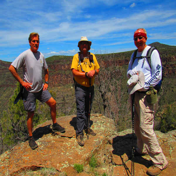
| Bruce, Michael, Mike. |
A few hikers showed up on a dirt road at the intersection of Highway 260 and Forest Road 677. At the trailhead, several RV’s and groups of people with ATV’s were in party mode as the group began its uphill trek on a ridge above Salmon Lake Basin, a green pastoral depression ringed by junipers and barbed wire circling corrals. The shadeless basin was largely peppered with enormous alligator juniper trees.
 There is water. |
 Horned toad out for some sun. |
As the road twisted through the basin it revealed hazy glimpses of the Bradshaw Mountains to the south and the San Francisco Peaks and Sedona’s red rock formations to the north. At the 2.2-mile point FR 142G spun off to the left exposing Ponderosa pines and Gamble Oaks encroaching upon the juniper grasslands.
 Old shed along the path. |
 Hazy glimpses of the Bradshaw Mountains. |
The group continued straight on Forest FR 667 to the hike’s highest elevation where the hikers got first glimpses of the massive gorge of West Clear Creek that could be seen at the edge of Rim Tank Basin. This viewpoint silhouetted the 7,307-foot Apache Maid Mountain and the 6,674-foot Buckhorn Mountain. As the group descended into the basin’s drainage-carved woodlands, FR 677B veered off to the right. The group continued on FR 677 going left and swung by a wildlife water tank contained by an earthen dam dotted with a large patch of purple flowers. Hikers made the final descent into formations of a basalt lined rock canyon at the edge of the West Clear Creek Wilderness stopping for lunch. Going back the group made a right turn on FR 142G for another 1.2 miles before heading back to the car. An afternoon Italian meal was enjoyed at the new location of Moscato’s in Camp Verde.
 Basalt lined rock canyon. |
 Purple flowers. |
 Plenty of flowers. |
 Standing on the edge. |
 Snack time on the edge. |
 Top of Page
Arizona Trailblazers Hiking Club, Phoenix, Arizona updated May 13, 2023
Comments? Send them to the AZHC .