Outdoor Links
Hike Arizona
Trip Planning Guide
Trip Report Index
Calendar of Events
Library
|
Cane Spring Canyon Loop Day Hike Mazatzal Mountains December 17, 2016 by Bill Zimmermann |
|
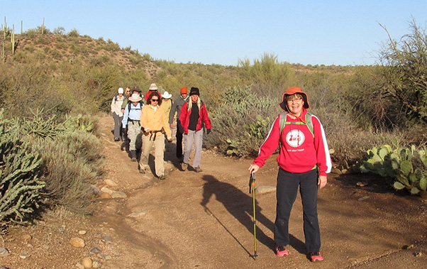 Getting started on a grand adventure. |
 Trailblazers at Cottonwood Wash |
|
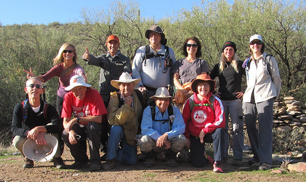
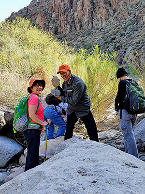
back: April, Mohammed, Michael, Natalie, Debbie, Ann front: Tom, Bill, Rudy, Gary, Carol |
|
We made it! In the meeting notice for 202 and Power, Bill failed to mention “north” Power. A slight delay as we waited for Mohammed, who sped from the coffee shop on “south” Power. Wheels were rolling at 7:30. Boots were moving at 8:30. It was crisp, the wind has died down, and the skies were clear. |
 Four Peaks from Cottonwood Camp. [Carol] |
 Leaves fell on the boulders. [photo by Carol] |
|
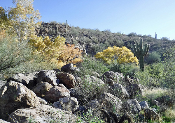
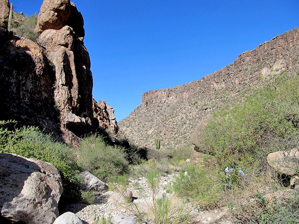
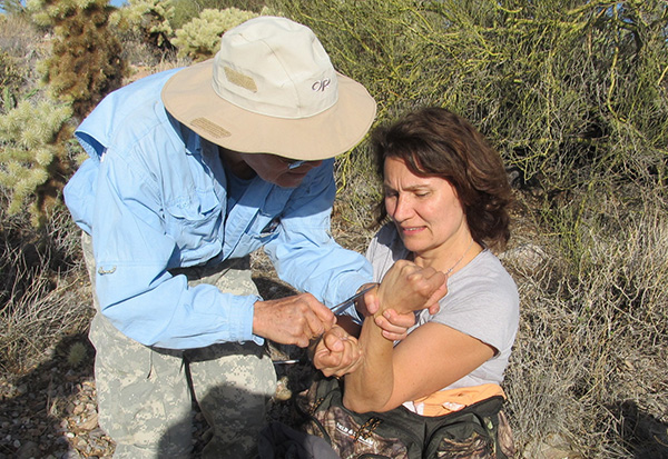
We started down Cottonwood Wash. Arriving at “RH” we took the group picture. At “C8” we entered Cane Spring Canyon. Bill had pre-hiked to point “Z”. Hidden Water Spring provided the music of gentle flowing water. The sun was a little low in the sky, to catch the full radiance of the cattails. As the exploratory adventure took us to “C7”, Debbie and Mohammed began their rock collecting in earnest. |
 Hmmm, what’s this? [photo by Mohammed] |
 The stone isn’t rolling. It gathers moss. |
 There’s a lot to see here. |
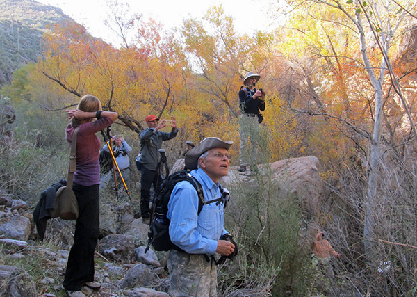
 Ah, the autumn leaves! [photo by Carol] |
 Autumnal glory. |
 Snap away! |
 The scenery leaves little to be desired. [photo by Gary] |
|
Although Bill and Gary had hiked from “C7” to “C5” (trip report: Seucito Canyon, January 2015) it all seemed new again. Shortly after “C5” we broke for lunch. |
 This looks like a good spot for lunch. |
 Picnic on the rocks. [photo by Mohammed] |
 “As I was saying ...” |
|
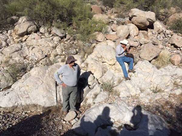
Notorious for his short lunch breaks, the hike leader badgered the group to resume moving. We navigated our way over and around the large boulders as we headed toward our out point “C1”. Huge, steep, rock walls bordered us on the exit side of the canyon. Uncertainty. If we could not get through, would we have enough time to make it back to “C7”, a known exit route? |
 Looks like there’s a rock-hop ahead. |
 Now here’s a prize rock! [photo by Tom] |
 Let’s do the rock-hop. [photo by Mohammed] |
 Yes, we can see the way ahead. |
 Are you sure we can get out of here? |
 Come on, it’s only boulders. |
 Sure, we can do it. |
 Almost out. |
|
Shortly after “C1” the rock-hopping ended and the cholla dodging began. All we had to do was to go up three ridges and down two, and get to a road at “R1” before dark. Bill urged the group on as he incorrectly thought sunset was 4:30. |
 We made it to “C2”. |
 It’s lookin’ good. |
 “C1” at last. [photo by Carol] |
 Dodge the cactus. [photo by Tom] |

|

|
| Cacti, everywhere. [photos by Carol] | |
 Those cholla branches don’t really jump? [photo by Ann] |
 Dr. Gary |
 Made to “R1” before sundown. [photo by Tom] |
 The road home. [photo by Ann] |
|
It was nice to be wrong. At 5:45 the last group made it to the cars, with enough light to find the car keys. We drove out in the dark. Seven of us enjoyed great service and food at Red White and Brew before returning home. 10.63 miles, +-2120' feet, and Debbie was the rock carrying champ. |
 Top of Page
Arizona Trailblazers Hiking Club, Phoenix, Arizona
Comments? Send them to the AZHC .
updated December 19, 2016