
Outdoor Links
Hike Arizona
Trip Planning Guide
Trip Report Index
Calendar of Events
Library
|
Shaw Butte Day Hike Phoenix January 10, 2015 by Jim Buyens |
|
In early January I noticed that this date was looming open and coming up fast. I hated the see the weekend go by without a hike, but because of other commitments I couldn’t spend all day leading one either. But, with the trailhead for this hike only a couple of miles from my house, I decided we could finish the event with plenty of time to spare.
The route included two mountaintops with spectacular views of Phoenix, the remnants of a notorious restaurant that burned down in the 60’s, and the ruins of a Native American solar observatory. At 8 miles and 1800 feet total elevation, it provided a reasonable challenge.
Our probability of getting lost was essentially zero. I hike the first half of this route - up and down Shaw Butte - almost every week for fitness, and must have done it 150 times now. In addition, Dave F. is steward for the preserve and knows it very well.
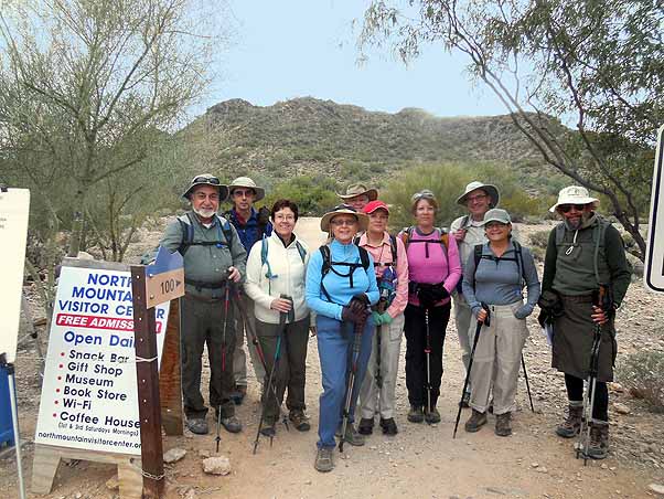 John R., David B., Monika, Dottie, Dave F., Becky, Denise, John S.,Sana, and Jim ready to hike. [photo by John] |
Ten hikers showed up, signed in, and got under way. From the trailhead we took the Christiansen (100) trail about half a mile to the Shaw Butte (306) loop, and then clockwise around the loop and up the south side of Shaw Butte.
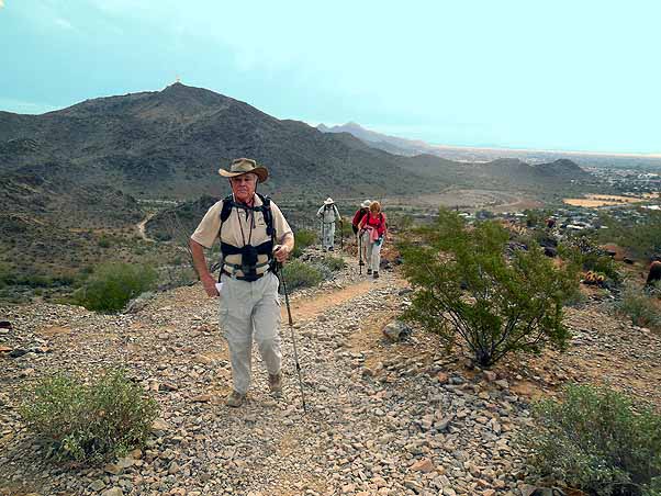 Dave F., Becky, David B, and John S.head up the south side of Shaw Butte. [photo by John] |
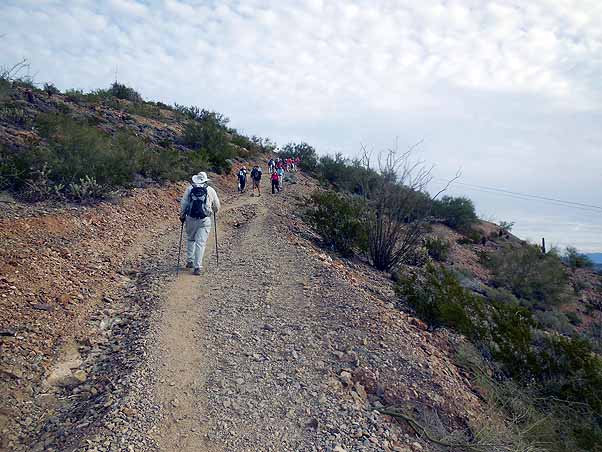 The group continues up Shaw Butte.[photo by John] |
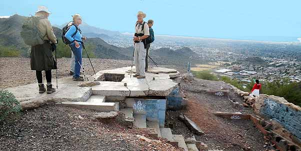 Here we are at the remains of the notorious Cloud Nine restaurant. [photo by John] |
Shaw Butte is about an 800-foot climb. Halfway up, on the south side, stands the remains of the Cloud Nine restaurant. An interesting fellow named Richard Barker purchased 40 acres of land on Shaw Butte in 1957 and started building a house year later. To build an access road, he drove his Harley-Davidson up the mountain side and planted sticks of dynamite. Later, when it came time for cement, he had to drive the first truck up himself because none of the cement company drivers would do it.
Eventually he completed the house (including a swimming pool) and then moved in. Then, in 1961, he converted half the house to restaurant. This was so successful he converted the other half as well, but on November 8, 1964, the restaurant burnt down and was never rebuilt.
The restaurant’s patrons often included politicians, gamblers, and other high rollers, leading some to question what was going on up there. But with no way to sneak up on the place, no one ever found out.
For more information about the Cloud Nine, click here.
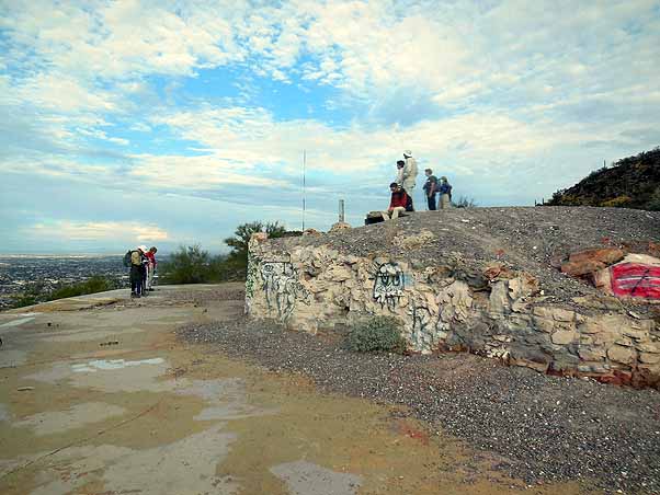 The Cloud Nine seating area was at the left, and the kitchen on the right. [photo by John] |
From the Cloud Nine we finished the climb to the summit, which offers spectacular view of Phoenix all the way to South Mountain.
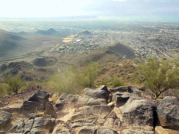 The peak of Shaw Butte provides this stunning view of Phoenix. [photo by John] |
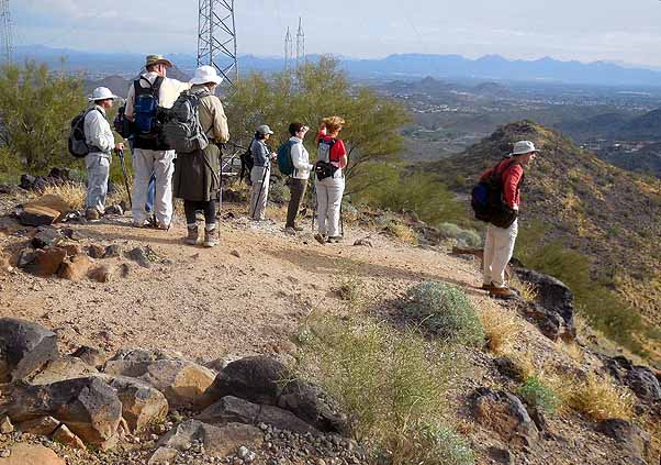 Here we enjoy the view. [photo by John] |
After a brief stop to enjoy the view we headed back down the mountain. Then, about two-thirds of the way down, we stopped at the prehistoric Native American observatory.
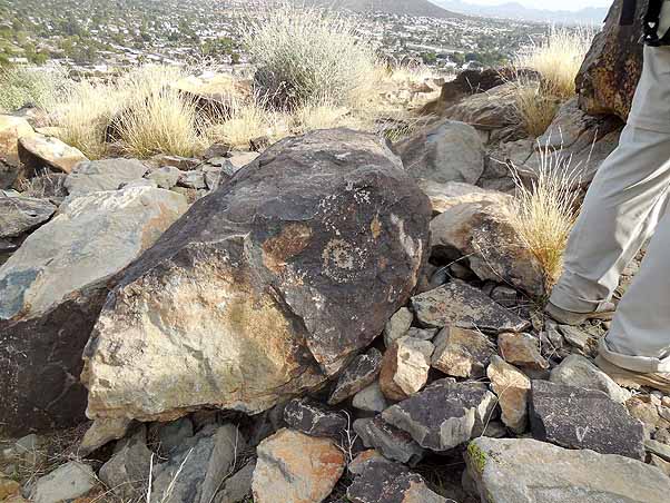 The north side of Shaw Butte offers this petroglyph among the Native American ruins. [photo by John] |
These ruins are on a small rise just east of the main Shaw Butte trail. The site is a complex structure with multiple interior rooms, built and used by the Hohokams in the 12th and 13th centuries. Many of the walls are still intact and there are numerous petroglyphs. The alignment of the rooms and the content of the petroglyphs correspond exactly with astronomic and solar observations.
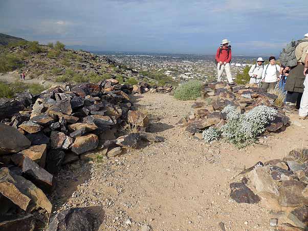 These rows of piled rocks were once the walls of a Native American observatory. [photo by John] |
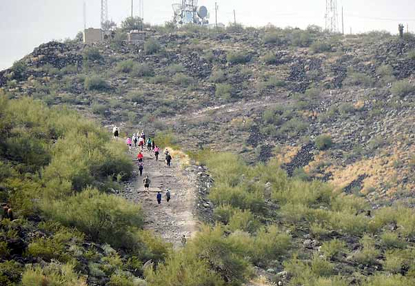 Shaw Butte is a popular hike, especially in cool weather. [photo by John] |
At the bottom of Shaw Butte Dottie, John R., Becky, and John S. decided they’d had enough and headed home. The rest of us took the Christiansen (100) and North Mountain Connector (101) trails to the North Mountain National (44) trail, which, as you might suspect, leads to the summit of North Mountain.
The North Mountain Summit trail is actually a one-lane asphalt road that utility trucks use to reach the radio antennas for maintenance. Of course, we were hikers and not road strollers, and shortly after heading up the mountain we had an option to drop down to the North Mountain Park Picnic Area and then up the south leg of the North Mountain National trail to the summit. Parts of that segment are a steep and rocky climb, though, and a couple of our newer hikers were already starting to feel weak, and so we headed up and then down the asphalt road. At least we got the altitude, more great views from the top, and some good exercise.
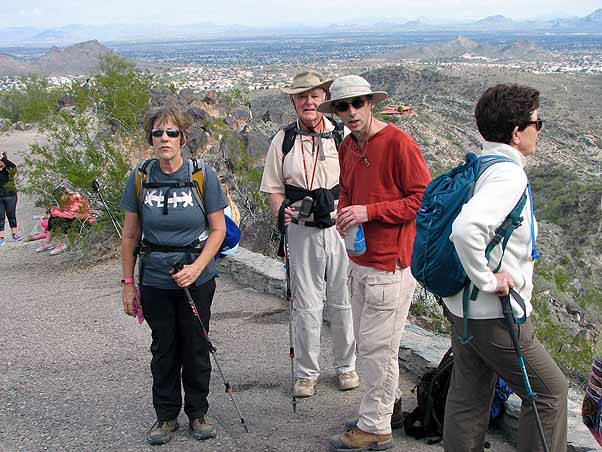 Denise, Dave F., David B, and Monika enjoy the view from atop North Mountain. |
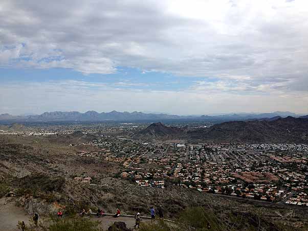 This view of Phoenix looks northeast from the top of North Mountain. [photo by Sana] |
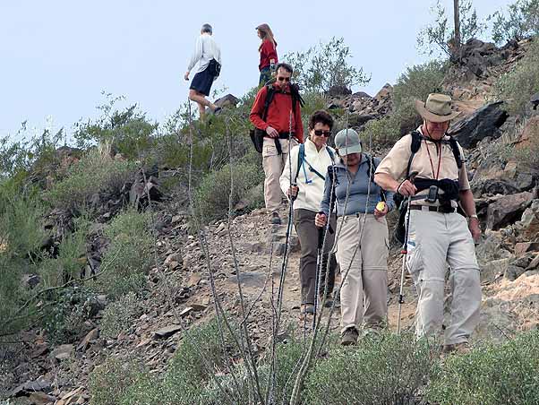 Dave F., Sana, Monika, and David B. start their descent from the North Mountain Peak.[photo by John] |
After the hike Dave, Sana, and I headed over to North Mountain Brewing for some lunch and liquid refreshment. The rest of the party headed directly home with half a day still remaining for other activities.
All in all, it was a fun and scenic All in all, it was a fun morning and a scenic hike!
| Hike Statistics | ||
| Total Distance: | 7 | miles |
| Starting Time: | 8:37 | AM |
| Moving Time: | 2:51 | hrs:min |
| Stopped Time: | 0:52 | hrs:min |
| Duration: | 3:43 | hrs:min |
| Finishing Time: | 12:20 | PM |
| Avg. Speed Moving: | 2.5 | mph |
| Avg. Speed Overall: | 1.9 | mph |
| Starting Elevation: | 1,219 | ft |
| Minimum Elevation: | 1,219 | ft |
| Maximum Elevation: | 2,110 | ft |
| Total Ascent: | 1,554 | ft |
 Top of Page
Arizona Trailblazers Hiking Club, Phoenix, Arizona
Comments? Send them to the AZHC .
updated May 29, 2020