Outdoor Links
Hike Arizona
Trip Planning Guide
Trip Report Index
Calendar of Events
Library
|
Colcord Canyon Day Hike Mogollon Rim May 28, 2016 by Bill Zimmermann |
|
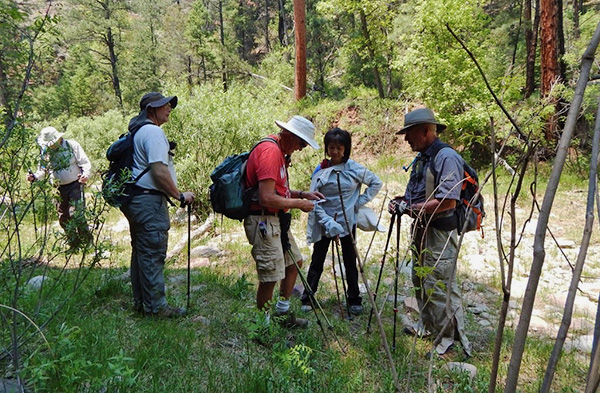
 Monika, Jim, Anikó, Michael, Gary, Funyung, Bill |
|
Having done this hike three years ago with the Tuesday Trekkers, Bill was ready to share the experience with interested Trailblazers. Six hikers joined in. We accidentally parked north of trail start “THN”. At 9:00 AM were on the move. After a short bushwhack we found the trail near “TH”. |
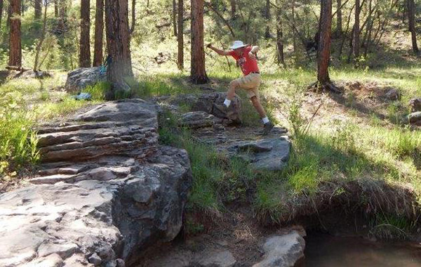 Look lively, Bill! [photo by Monika] |
 Heave! Why isn’t it moving? |
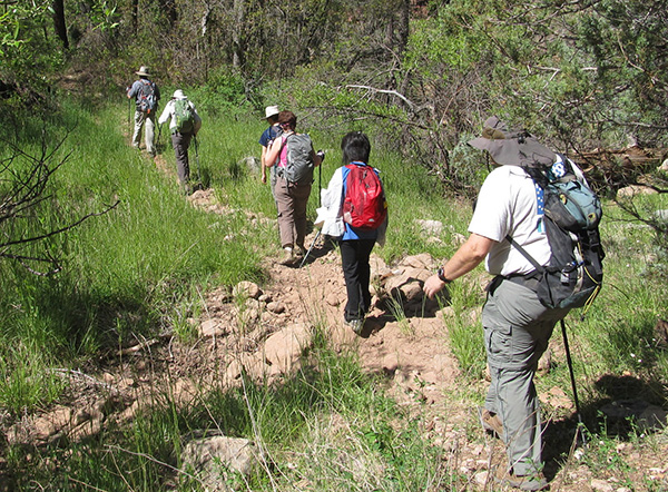 Yes, we found the trail. |
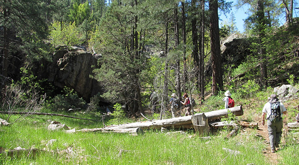 Sawyers have cleared the logs off the trail. |
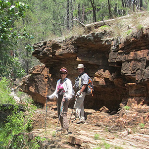
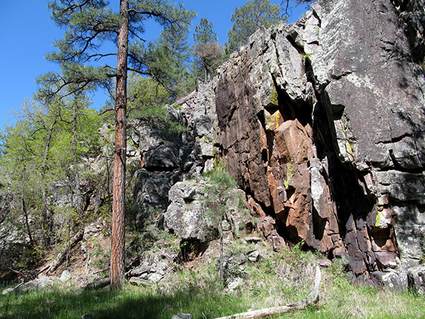 What lovely rocks you have here! |
|
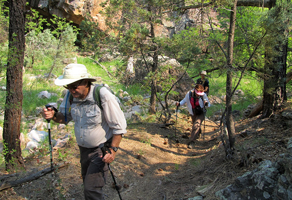
Water was running. The unlabeled trail led us into the canyon with steep walls. Soon the creek was dry. We took a short break at dry waterfall “WF1”. The trail split at point “4”. We took the road on the left. After a slight climb we left the road at “LR” and returned to the canyon bottom. We passed two more dry waterfalls”WF2, WF3” before entering the start of Haigler Creek near point ”1”. We had ample tree cover of Oak, Walnut, and towering Pines. The trail soon widened into a road. At “RXC” it crossed the creek that was now flowing. |
|

|
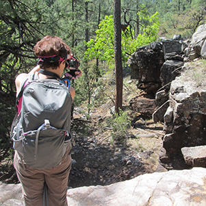
| Monika captures the winning shot. | |
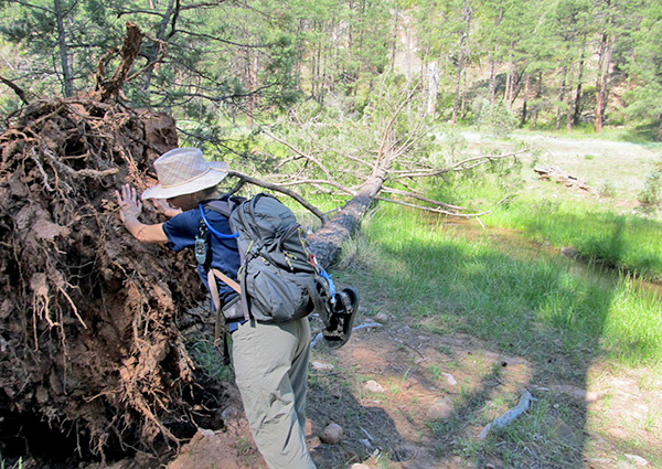
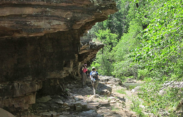 What critters might be living under the overhang? |
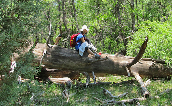
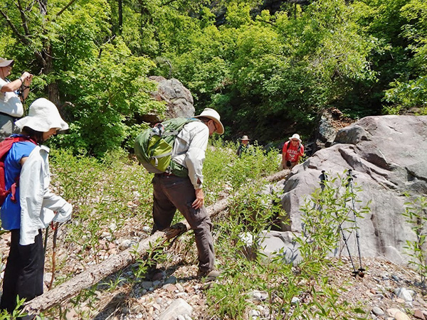
 Fallen logs — over, under, or around? |
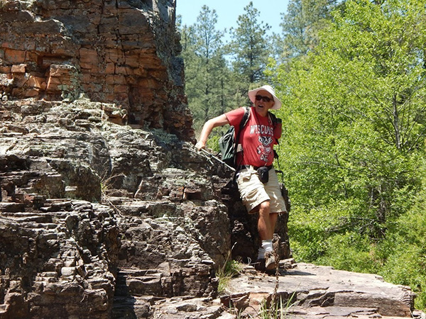 Bill finds an interesting rock wall. [photo by Monika] |
|
We could hear the sound of a waterfall. Some of us left the road to investigate. It was mostly hidden with bushes. Its strong flow was adding to the creek. We meet two fishermen who were surprised to see anyone. |
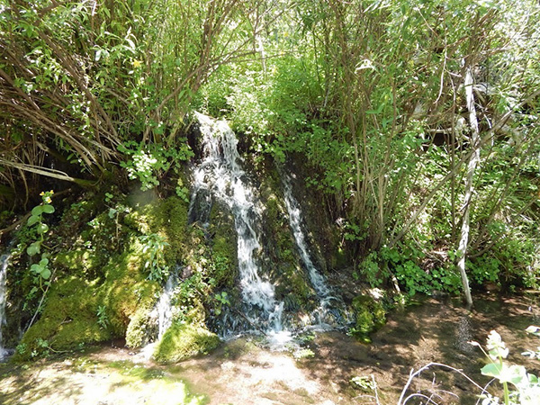 We could hear the waterfall before we saw it. [photo by Monika] |
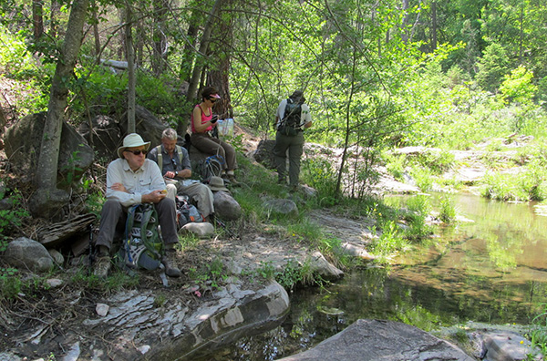 Trailblazers enjoy an idyllic picnic. |
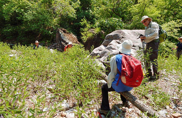
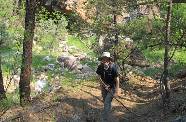
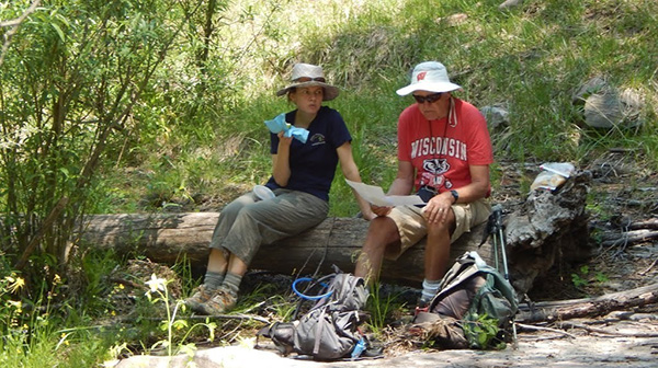 Anikó and Bill check the map carefully. [photo by Monika] |
|
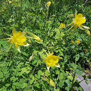
At “L” we left the road to have lunch near the creek. Thick groupings of Yellow Columbine in bloom delighted our eyes. The sound the water flowing over tiny rapids delighted our ears. And the temperature under the shade trees was perfect. Sound of a car door closing interrupted the near-paradise trance. |
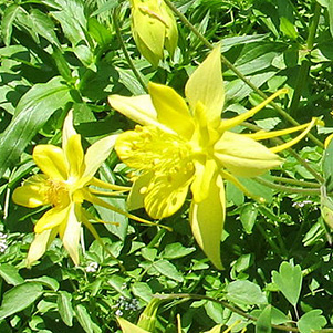 Columbine [photo by Bill] |
 Columbine [photo by Funyung] |
 Seepwillow [photo by Monika] |
 Unknown Pea [photo by Monika] |
 Yellowflower Indian Mallow [photo by Monika] |
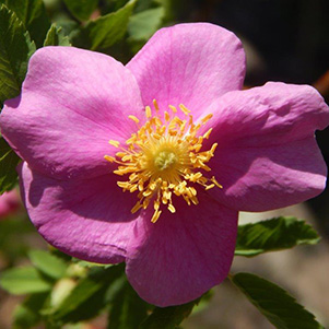 Woods’ Rose [photo by Monika] |
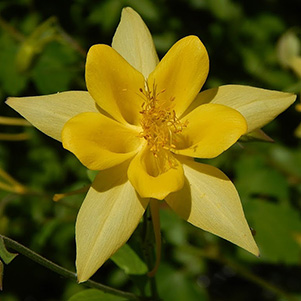 Columbine [photo by Monika] |
 Dragonfly joins us in the wilderness. |
|
Five of us left Jim and Gary and continued down the creek. We passed several car campers along the way. Talking with them, we surmised they arrived via a road from Colcord to an intersection at “ZRX”. What is a hike without some exploratory segment? Bill offered a choice to some to retrace the route to the cars. Lacking a GPS waypoint for the cars all choose to join Bill. The plan was to take Lost Salt Creek to the spring near FR 411. Then finish hiking on forest roads back to the cars. |
 Ride ’em, Funyung. |
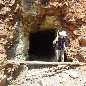 Mine your own mine. [photo by Monika] |
 Monika and Gary find a rock overhang. |
 Looks like this log make a fine bench ... [photo by Monika] |
 ... well, actually, it’s a teeter-totter. [photo by Monika] |
|
The creek was dry and rocky. Along the way we found a pine tree delicately balancing on a rock. Nature’s best teeter-totter. A pool with steep rock walls forced us to go up. Decision time. Working our way back down to the creek had a risk. If we got pooled again, the steep cliffs to the north would not allow escape route to the road waypoints (R2 thru R4). Plan B. From ”U” we headed up a very steep hill toward waypoint “R2” hoping to join a road. Bill tried to keep spirits high citing we would soon be approaching a flat area big enough for a dance floor. Although the band was on break Bill and Monika did a few polka steps. |
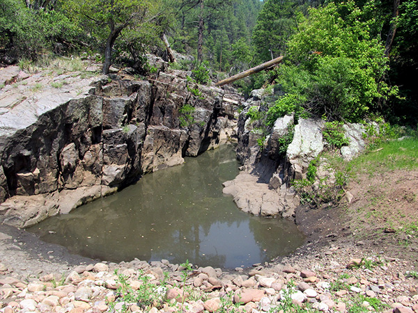 What if we can’t get around a pool like this? |
 Let’s check that map again and be sure. |
 We climbed down. Now we have to go back up. |
 This will get us back to the trailhead. |
 I’ll sweep for this part of the hike. |
|
At “FR” we connected with a road. It was getting late, so we shelved the route to Lost Salt Spring. Retracing the route back to the cars was uneventful. 10 miles, 1490 feet, 7 hours. |
 Top of Page
Arizona Trailblazers Hiking Club, Phoenix, Arizona
Comments? Send them to the AZHC .
updated May 31, 2016