Outdoor Links
Hike Arizona
Trip Planning Guide
Trip Report Index
Calendar of Events
Library
|
Greer Cabin Weekend White Mountains September 23-26, 2016 by Tamar Gottfried |
|
|
Friday:
Four adventurous Trailblazers headed out from the East Valley bright and early in a gear-packed minivan. Although we encountered both road construction and some light showers on the way to Globe, we made good time into Show Low and arrived in time for lunch at What’s Cooking Kitchen and Bakery. Cool and crisp winds greeted us as we emerged from the van, reminding us that we weren’t in the valley any more. Hiked 4.7 miles, 538' elevation gain to 7,597'. |
|
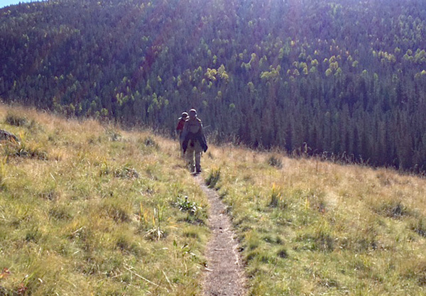
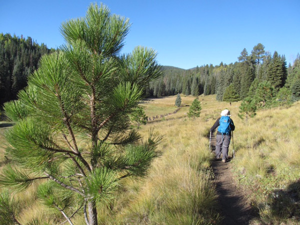
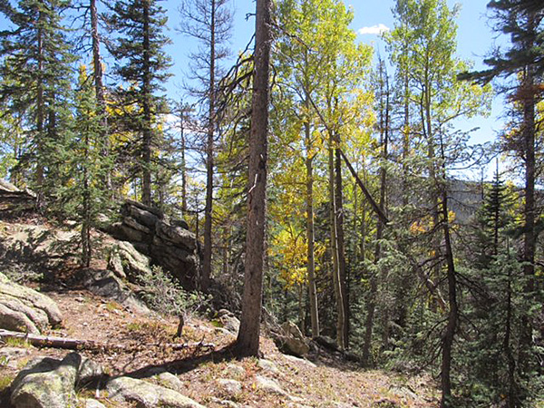
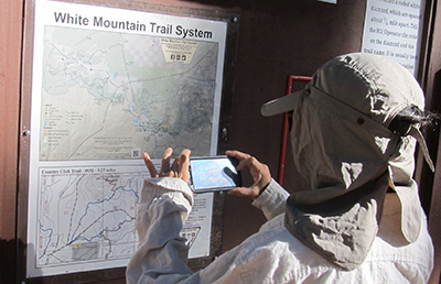 Zowie, a map! [photo by Bill] We jaunted up the hill to the Pat Mullin scenic vista to get our first taste of hiking at a higher elevation. 4.7 miles and 2 hours later, we arrived back at the car to continue our journey to Greer. |
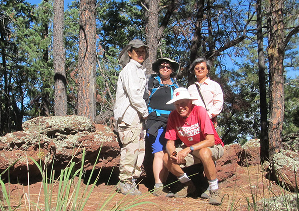 Carol, Tamar, Bill, Mimi. [photo by Bill] |
|
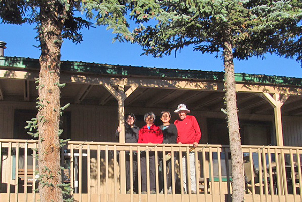
Our large and well appointed cabin in Greer awaited us and we unpacked, had a variety of snacks and took a walk to explore the historic Molly Butler Lodge down the road a bit. We returned for a elegant meal prepared by Mimi-roasted chicken breasts, Mandarin orange rice, and a hearty kale salad courtesy of Carol, and cake from Bill. |
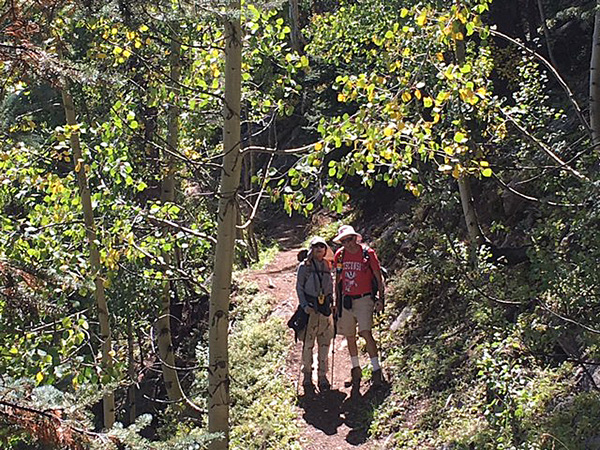
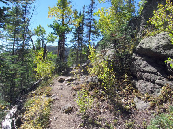
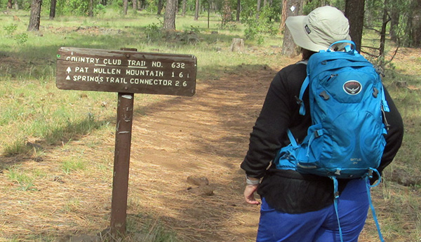 Yes. we’ve found the Country Club Trail. [photo by Bill] |
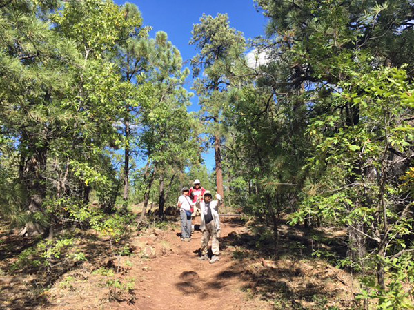 What a gorgeous day to be hiking! |
|
Saturday:
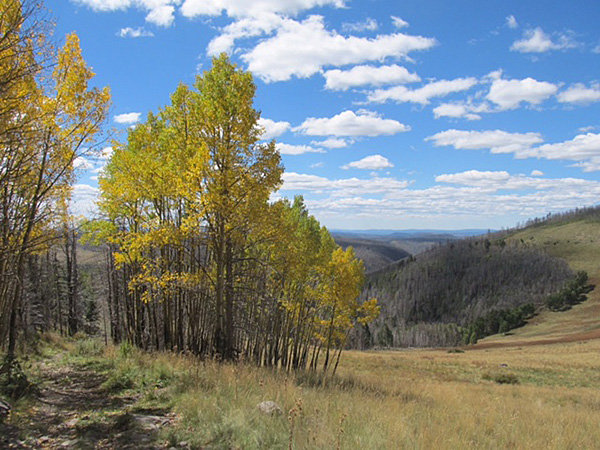
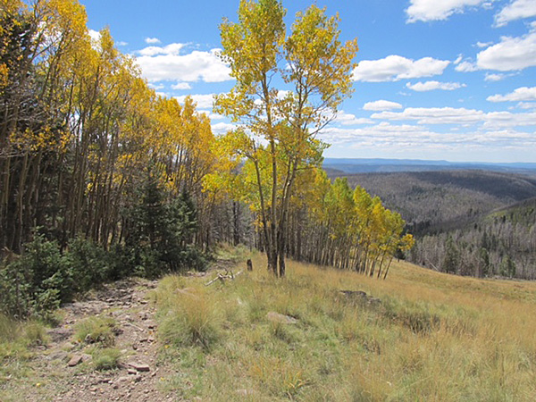
We rose with first light and prepared to head out for our all day Mount Baldy adventure. Apparently the old minivan’s back hatches get stuck and don’t open when the temperature dips below freezing. We hit the 94 West Baldy Trailhead at 7:30 in 32° weather. The hike starts with 3.5 miles of relatively flat and very beautiful hiking through meadows and forests and by the banks of a bubbling and bending Little Colorado River. We then entered a wooded area and began to climb a little. At about 4.5 miles in, we had a few larger river crossings and then the long switchbacks began. We had trained and tested everyone on radio communication prior to leaving, and as we split into groups of two, this was quite helpful.
The trail was not at all crowded.
We saw 4 groups on the way up and 4 on the way down.
We made our way up at slower pace (breathing is a little more difficult at 10000+ feet),
crawling under logs, marveling at an area of burned trees, and going up and up.
At about this time Mimi, who was a bit behind us with Carol, informed us that she
was experiencing some altitude sickness symptoms and she turned back toward the
trailhead (she already had the van key), while Carol kept going up and up.
At around 11:30, Bill and I hit the saddle.
It was a bit of a letdown, with no view.
We did find patches of ice up there, to our surprise.
Although we knew we were not supposed to ascend to the true summit as it is
sacred land and forbidden, there was no sign there stating that fact.
The only evidence that we had arrived at the end of the West Baldy Trail was
the signage for the East Baldy Trail. |
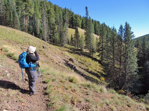
 The trail goes along a grassy slope above the green forest. |
 Bill and Carol on the trail. |
|
|
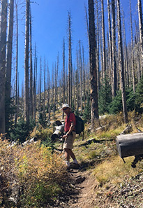
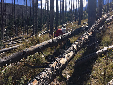
| Burned trees, everywhere. Some of them fell across the trail. | |
 New life appearing. |
 We continue to gain elevation. |
 Let’s pause here and catch our breath. |
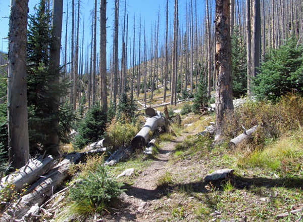 More burned trees, but the trail has been cleared. |
|
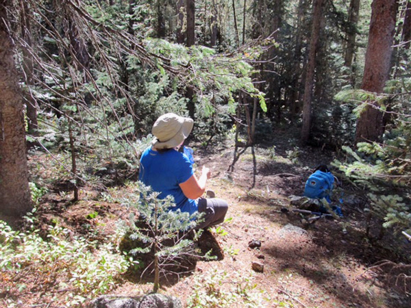
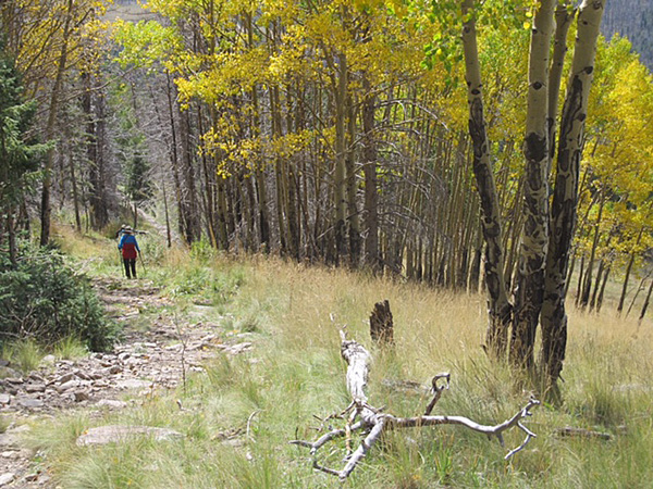
We stopped for a snack and then began heading down at about 12:05. Fifteen minutes later we ran into Carol, making her ascent. In the interests of staying together as a 3 person group, she turned around to hike with us. We reassured her that the top was no more impressive in terms of views than points lower down. We hiked down through the aspen forest (Bill and carol photo), and when we got to the spot where the two fallen trees blocked the trail, Bill trimmed some branches with his trusty saw to ease the passage under the trees. (photo). A couple miles from the trailhead, I got a radio call that there was a nosebleed. Minutes later, Bill came by with a bloody face. He tripped and fell on some rocks, hitting his nose and leg on the way down with so much force that it dented his metal water bottle. Quick thinking Bill pulled the cotton that he had used to warm up his ears and transferred it to his nose to stop the bleeding. Banged up but intact, we continued on. For the last couple miles, we took a detour on a smaller trail past a fence down into a meadow (instead of the normal trail which had a little ascent at this point). This trial met up with the Railroad Grade Trail and went close to the river and the paralleling the 273 highway, and then past an alternate Baldy parking lot between the West and East trailheads. We eventually looked up a hill and saw our parking lot, and made it back to the van at 4:19 PM. Mimi was comfortably napping in the front seat, having arrived around 2 PM, and welcomed us back. |
 Rocks and rilles of the high country. |
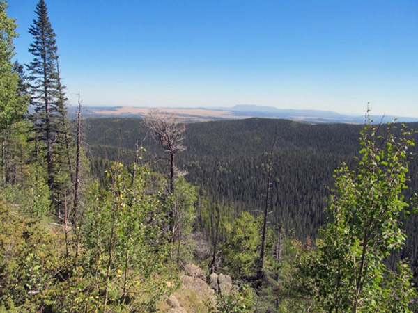 You can see a long way from here. |
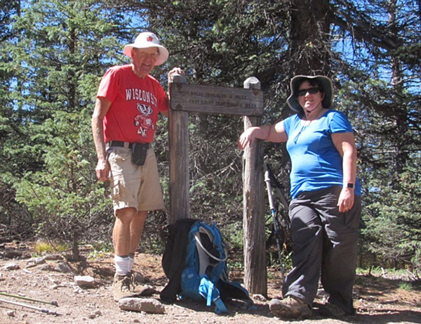 Bill and Tamar made it to the trail sign. |
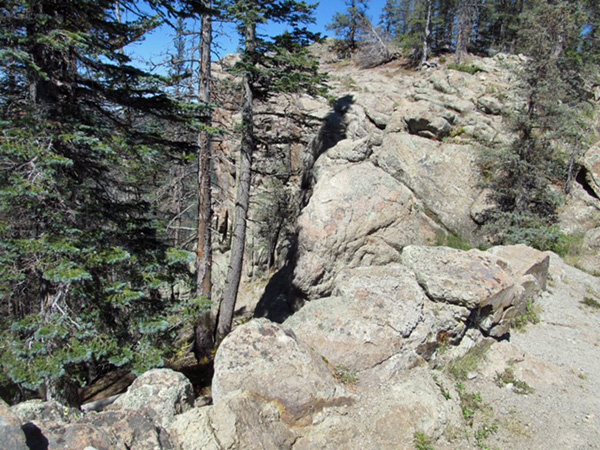 Rock of ages. |
 What’s that leanin’ tree trying to tell me? |
|
We took the 273 to the 260 to the 373 back to Greer, but were intrigued by another road that went straight from Sheep’s Crossing (the West Baldy Trailhead) to Greer in 6 miles instead of 25-ish miles. Tired from almost 9 hours of hiking, we decided not to risk the unknown, but I later learned that this is a very scenic good dirt road (the 87) and can’t wait to try it next time. We arrived home to the smells of Crock Pot beef stew and were thrilled to be welcomed with warm food, warm showers and the comforts of home. We relaxed after dinner with a restored version of the Hitchcock thriller Rear Window with James Stewart, Grace Kelly and Raymond Burr and were all asleep at an early hour. |
|
Sunday:
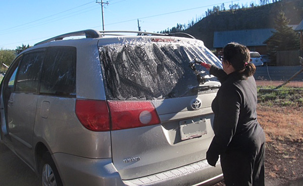
We awoke early and enjoyed a breakfast of eggs and toast and packed up the van
(darn hatch stuck again).
Yes, I had to get out the little used in Arizona ice scraper to defrost the van at 32°!
Packed and ready to go ahead of schedule at 7:45, we headed out past Eagar to Alpine.
We pulled off the highway 5 miles from Alpine at Forest Road 8056 and ascended
to the Escuilla Trailhead, 5 miles up a windy dirt road.
At 10, 850 feet, Escudilla is one of the highest peaks in Arizona. |
|
 Tamar, Mimi, Carol, and Bill. |
 Frost on the pumpkin — I mean windshield. |
 Autumnal glory! |
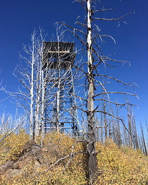 The fire lookout tower. |
|
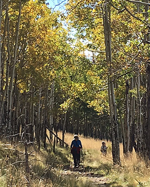
We set off hiking at 8:45 and immediately enjoyed a canopy of color-changing aspens over and around us and a green carpet of grass under us. We were the only car at the trailhead and had the entire mountain to ourselves almost the whole day. We marched up the first 1.5 miles, gaining 600 feet of elevation, to a nice clearing with views out to the Wallow Fire-burned hillsides. At this point, Bill decided to take an extended break, as he was still bothered by the remnants of his injuries from the day before. The other three of us plodded on through burned forests (a little 200 foot downhill welcomed at that point), across a large meadow, through more partially burned areas, and finally up through a narrow path between scratchy bushes to the summit at 11:00 AM. The lookout tower is still intact after the Wallow Fire, but fenced off, unmanned, and not climbable. There are great views from the top, even from the ground. |
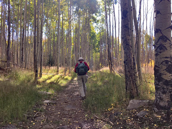 The trail goes through a magnificent aspen forest. |
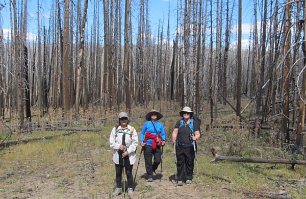 Carol, Mimi, and Tamar stand among burned trees from the Wallow fire. [photo by Bill] |
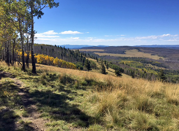 Panoramic view from the top. |
|
We started down and eventually ran into Bill hiking toward us, then continued to the trailhead together, arriving around 1:30 PM. We took our time enjoying the fall colors and gorgeous aspens. |
The autumn colors were magnificent!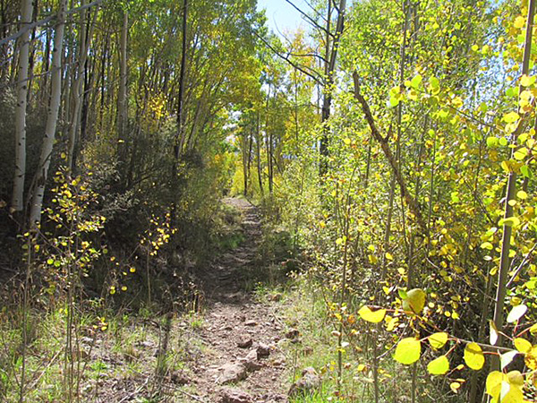
|
|
|
|
|
Post hike, we proceeded to the lovely little town of Alpine and had beef and elk burgers on the comfortable patio of the Firefox restaurant. Service, food and views were wonderful after a satisfying hike. We started our drive home at 3 PM through Springerville, Show Low and Globe, and hit the outskirts of the Valley by 7 PM. Tired, accomplished, and well fed, we said our good byes and ended a wonderful weekend of friendship and tall mountains, good food and fall colors. |
 Top of Page
Arizona Trailblazers Hiking Club, Phoenix, Arizona
Comments? Send them to the AZHC .
updated October 3, 2016