
Outdoor Links
Hike Arizona
Trip Planning Guide
Trip Report Index
Calendar of Events
Library
|
Legends of Superior Day Hike Old US 60 October 15, 2016 by Tamar Gottfried |
|
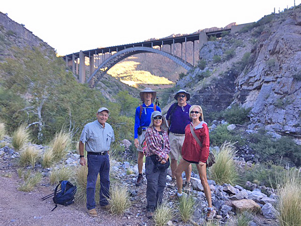 Jerry, Tom, Carol, Dave, April |
|
Six Trailblazers headed out from near downtown Superior on a nice 62 degree morning to explore the Legends of Superior Trail. Since our last visit in 2015, a few informational signs have been placed along the route to describe wildlife, geology and history of the region. We passed the remnants of an old mine shaft and chute on the other side of the Queen Creek bed, then followed the broken asphalt road (remnants of the 1926 route of the US 60) to the old Queen Creek bridge. Walking past, we then saw and walked under the “new” 1949 bridge, officially called the Pinto Creek Bridge, which won the distinction of the Most Beautiful Steel Bridge when it was built. Next stop was the large water tank, which was apparently the site of a prison camp in the past. Here we were fortunate and delighted to encounter three Superior natives, who were born in the 30s and had lived here their entire lives. They fascinatingly recounted stories of swimming in Queen Creek when water flowed there regularly. One gentleman, the son the former Superior sheriff, told us about how there used to be 32 bars and a brothel in town when the mines were at their prime production. He also remembered Oklahoma refugees of the Great Depression coming down the US 60 on their way to California. They would sometimes stay a while in a “tramp camp” near town and he and his siblings would bring the travelers homemade soup, courtesy of his mother. We loved learning some history from someone who had lived it. We continued on the ladder – switchbacks up to hill to the Claypool Tunnel – under the current 1952 Queen Creek Tunnel and blasted from stone. We marveled at the deep holes bored in the walls of the tunnel, so deep that we couldn’t feel an ending. Emerging from the tunnel, we walked to the shoulder of the current US 60 and admired the canyon below. |
 We made it to the old Claypool Tunnel. |
| Then we reversed our path and veered up and over US 60 on the other side of the tunnel. Here we crossed the highway and went up the runaway truck ramp to an old abandoned copper mine up the hill. We explored the old buildings and equipment and went partially down the other side of the hill to get a nice view of the current mine and Picketpost Mountain. |
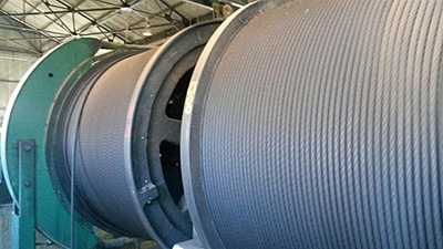 Some equipment was left when the mine was abandoned. |
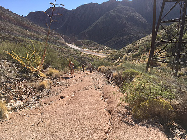 It’s a steep grade up to the mine. |
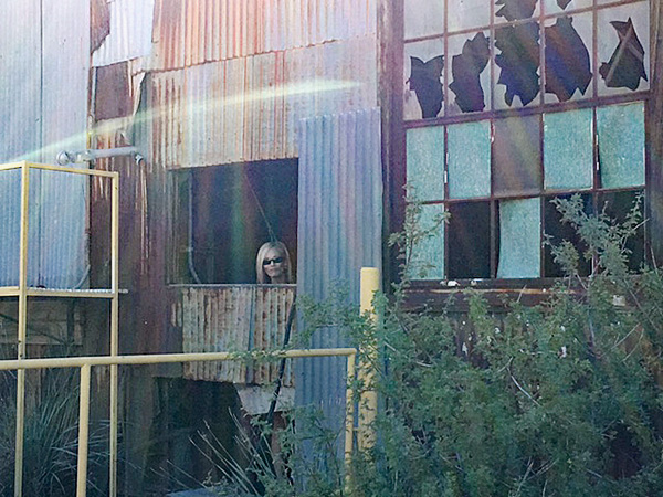 April explores the abandoned mine. |
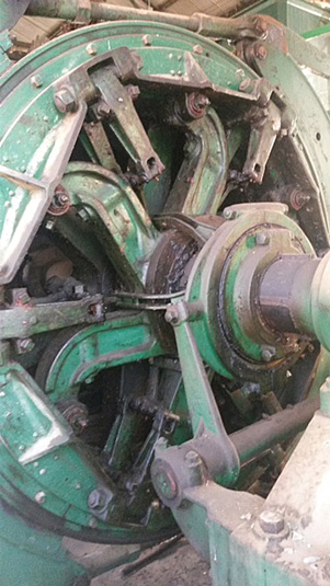 It grinds exceeding small. |
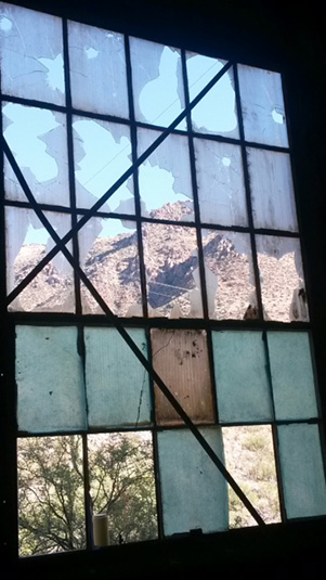 Interesting view out the window. |
|
With temperatures rising, we came down the hill and back to our original path until reaching the van. We had a quick tour of downtown Superior and continued on to my favorite Superior restaurant, Los Hermanos, for amazingly priced Mexican food and fresh pastry too. Final statistics: 6 miles, +-1000 feet elevation gain. 3 hours 15 minutes duration. |
 Top of Page
Arizona Trailblazers Hiking Club, Phoenix, Arizona
Comments? Send them to the AZHC .
updated May 29, 2018