Outdoor Links
Hike Arizona
Trip Planning Guide
Trip Report Index
Calendar of Events
Library
|
Blue Ridge-Orohai Loop Day Hike Goldfield Mountains December 17, 2016 by Lance Ware |
|
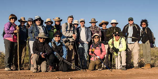 Trailblazers in the Goldfields. [photo by Quy] |
|
Kneeling: Quy, Monika, Lin, Michelle Standing: Jeanie, Byron, Dana, Laurie, Karen, Dave, Carl, Darrell, Lance, Chris, Mark, Jim, Joe, Cecilia |
|
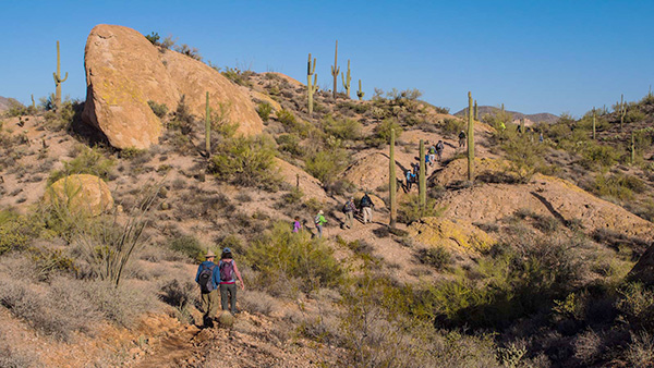
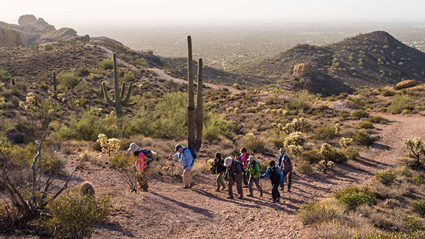
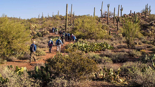
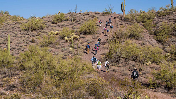
On a sunny, cool day in December, eighteen Arizona Trailblazers went hiking in the Goldfield Mountains. The Goldfields are a scenic range in the Tonto National Forest, northeast of Mesa and north of Apache Junction. We met at the Dome Mountain Trailhead, a gated roadway from which FR 10 begins at its southern terminus on the edge of the Tonto National Forest. There are many trails in this wilderness area, very few of which are officially designated. Our plan was to take a track eastward up onto Blue Ridge and then down the other side to the Green Thumb and Keyhole Arch. The trail commenced a short distance down the road from the gate, off to the right side after the fence ends. It stayed in the flatlands for a while, then gradually began climbing up into the hills. There were a few short but steep sections that took us up to the top of Blue Ridge after about a mile of hiking. From there we could see vistas of the Goldfield Mountains and the Phoenix Valley to the west, Superstition Mountains to the southeast, and Four Peaks to the northeast. It was a bit windy up there, but since it was a fairly chilly morning everyone was dressed appropriately. The trail took us northward along the ridge with gently up and down slopes. We could hear the train whistle from the nearby Goldfield Ghost Town. There are many large rounded boulders in this area, and some gave it a go at climbing them. |
 At the parking area, getting ready to set out. [photo by Carl] |
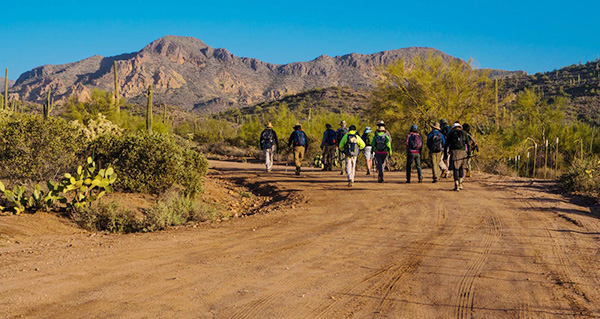 Starting out on FR 10 toward the trail with Peaks 3134 and 3089 in the background. [photo by Quy] |
 On the trail with Blue Ridge in the distance. [photo by Quy] |
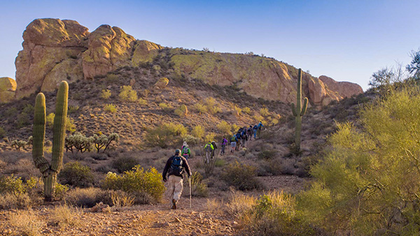 Beginning the climb up to Blue Ridge. [photo by Quy] |
 Climbing up to the ridge. [photo by Quy] |
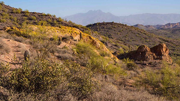 On top of Blue Ridge, looking north to Four Peaks in the hazy distance. [photo by Quy] |
 The trail along the ridge. [photo by Quy] |
 Blue Ridge with view of Mesa in the distance. [photo by Quy] |
 Boulders on Blue Ridge. [photo by Carl] |
 “Pumpkin Rock”. [photo by Quy] |
 Hiking along the ridge. [photo by Quy] |
|
Eventually the trail led downhill again on the eastern side of Blue Ridge and into the valley below. At about the two-mile mark we reached Triple Trail Junction, which as its name implies is a crossroad for three trails. We stopped for a short break here, then took the trail heading eastward. This trail led us through the hills with moderate rises and falls. At one point I missed the not-so-obvious turnoff, but thankfully realized it before going too far. We backtracked a short distance and found the proper trail. The trail eventually started heading south and climbed a bit. From the top of a rise, the Keyhole Arch and Green Thumb rock formations could be seen in the near distance, with the Superstitions mountain range behind it. The trail then descended into a valley and headed east again toward the arch. |
 Heading down the rocky trail. [photo by Quy] |
 In the valley below with Goldfields towering above. [photo by Quy] |
 Heading east from Triple Trail Junction. [photo by Quy] |
 Green Thumb and Keyhole arch to right of center. [photo by Quy] |
|
At about the three-mile mark we arrived at the base of the hill on which Keyhole Arch is located. We stopped, and some chose to make the off-trail climb through a wash and up to the top of the hill to see the arch. It is actually a triangular-shaped window where two large rocks join together at an angle on the crest of the hill. The opening is large enough for a person to crawl through by crouching down. We paused to take a group photo and then descended again to join the others who remained below. From there we found our way to the main trail and took a Jeep road north. |
 Keyhole Arch with view of the Green Thumb. [photo by Carl] |
 Keyhole Arch with view of the Superstitions. [photo by Lance] |
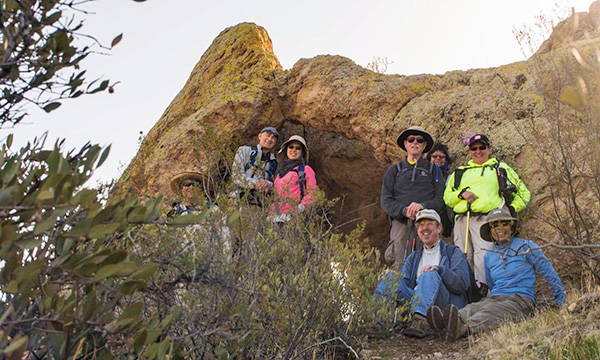 Pausing for a photo at the Keyhole Arch. [photo by Quy] |
 Green Thumb seen from the arch with the Superstition Mountains in the background. [photo by Quy] |
 Heading north on the Jeep road. [photo by Quy] |
|
After following the road for a while we managed to find a trail that leads to FR 1356 after passing through some hilly regions. Along the way we stopped at a wash to rest and eat. After about 4.5 miles of hiking we reached the road FR 1356 and headed westward. To the east we could see Hat Top Hill, a sloping mesa, and to the north the rising range of the Goldfield Mountains. At about the five-mile mark just off the left side of the road is the Rock House, the ruins of a structure perhaps from a bygone ranch or mining operation. The road continued west for a while, then turned south. Along the way we met up with some off-road vehicles and horses going down the road. We continued along it until it merged with FR 10, which led us back to the parking area after a short distance. |
 On the trail. [photo by Quy] |
 Stopping to rest and eat. [photo by Quy] |
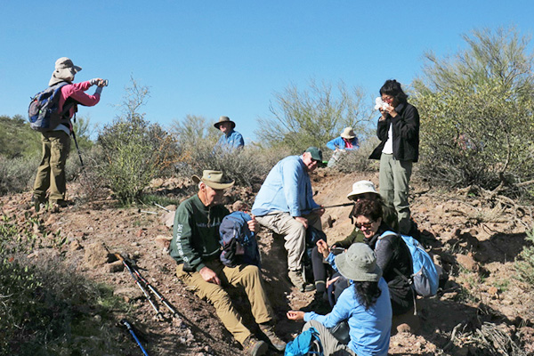 Rest stop. [photo by Carl] |
 Hat Top Hill from FR 1356. [photo by Quy] |
 Bulldog Ridge from the road. [photo by Quy] |
 Rock House. [photo by Lance] |
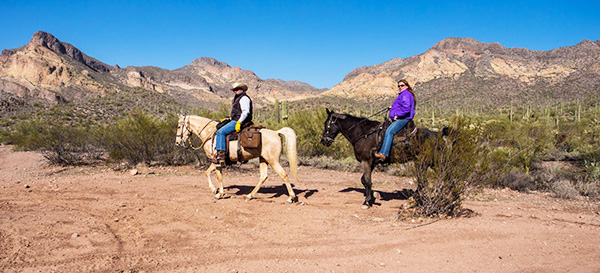 Horses on the road. [photo by Quy] |
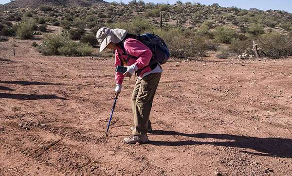 Lin writing directions in the dirt for others in the group. [photo by Quy] |
 Blue Ridge from FR 10. [photo by Quy] |
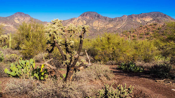
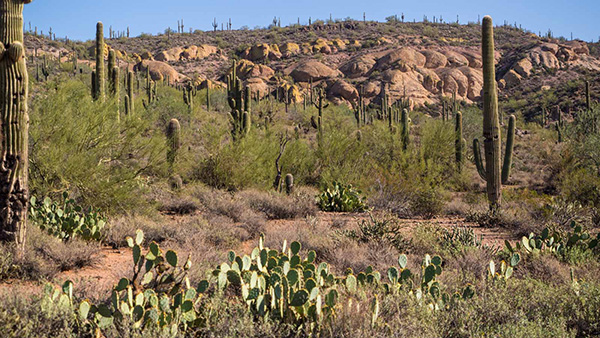
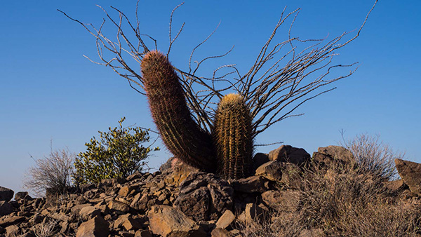
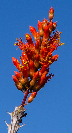
| Some of the flora along the way. [photos by Quy] | |
|
|
|

|
 At Red White & Brew for some post-hike nourishment. [photo by Dave] |
|
Afterwards some of us gathered at Red White & Brew in Mesa for a meal. The food and conversation were refreshing. Distance: 6.9 miles. Accumulated Elevation Gain: 630/-586 feet. |
 Top of Page
Arizona Trailblazers Hiking Club, Phoenix, Arizona
Comments? Send them to the AZHC .
updated May 31, 2020