Outdoor Links
Hike Arizona
Trip Planning Guide
Trip Report Index
Calendar of Events
Library
|
Reavis Ranch Backpack Superstition Wilderness March 19-22, 2016 by Michael Humphrey |
|

|
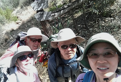
| Gary, Chip, Michael, Rudy, Lin, Bill, Quy, Dave, Andy, Sandra, Tamar |
|
Day One: Saturday, March 19
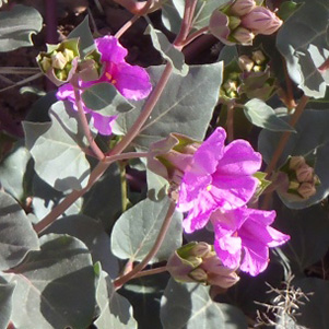
Eleven persons have decided to go backpacking to Reavis Ranch and Circle Stone. The flowers are in good supply as we start hiking at 9:30 AM this Saturday. |
 Oenothera caespitosa - Stemless Primrose |
 Beloperone californica - Chuparosa |
|
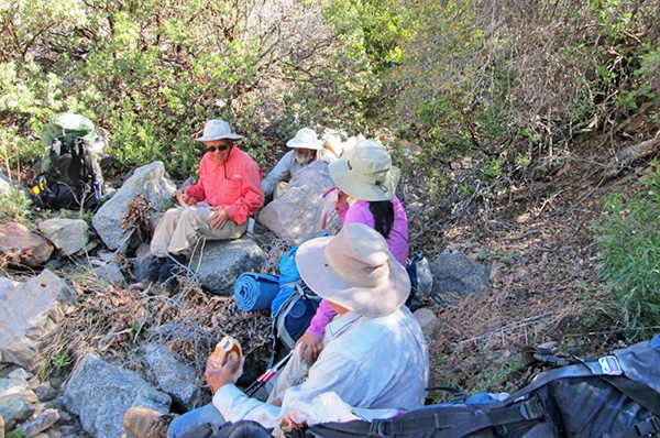
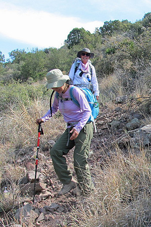
We will hike 7 miles with 1,000 feet of elevation change on this the first day. This is a good day to backpack the temperature is in the 60s, so we do not overheat too much. The first mile is easy, being a slow downhill. Rogers creek is running, so we have to cross it a couple of times. It is running at a low level, so it does not even get above the sole of my boot. We then turn to the uphill part of this day. We stop at Mr. Reavis’ grave site to pay our respects. |
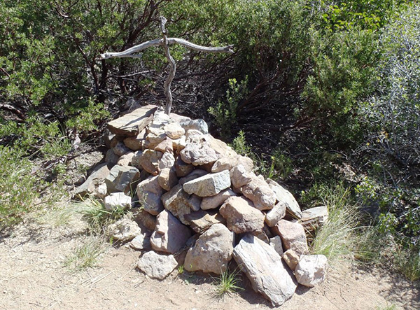 Elisha M. Reavis, 1827-1896. |
|
The grave site is in good shape, too bad the original and plaster cast tombstones are gone. This is a good spot to get the backpacks adjusted and setup for the long uphill to our lunch spot on top of the saddle. We then start up the series of switchback that will get us 1,000 feet higher. Rudy has decided to bring a case of beer and a block of ice to cool them down. |
 How thoughtful of you, Rudy. |
 Alligator Juniper too big to hug. |
|
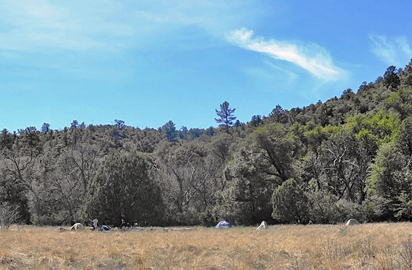
That beer will taste good at the end of each day’s hike. We have lunch just over the saddle. It feels good to take off the pack. The saddle is where you switch from desert scrub to pine and fir trees. They can get very large. This one may look dead, but still has green branches. As we get lower into Reavis Canyon, the creek starts to have water in it. We finally get down to the meadow where we will camp for the next three days. We set up the tents and heat the water for dinner. Some have brought very light weight chairs. Everyone will sleep well tonight. |
 Sure, there’s water flowing in Reavis Creek. |
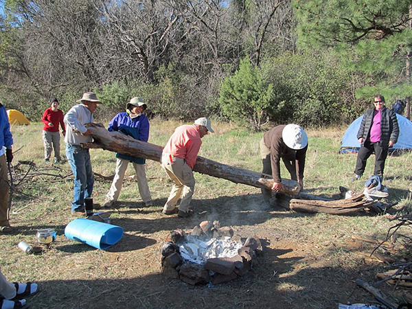
 Rudy arranges stones for a fireplace. |
 The end of a perfect day! |
|
Day Two: Sunday, March 20
This is a nice Sunday morning. We will hike up to Circle Stone in the afternoon. The morning is used to look over the old ranch site, with its apple trees. The trees in the sunnier parts of the valley are in full bloom. As we walk into the orchard we spot three deer, a spike buck, doe and a 6 point buck. The 6 pointer decides we are too close and retreats back into the orchard. The doe and spike spend the morning in the meadows next to the orchard. |
 Elisha Reavis planted many apple trees. |
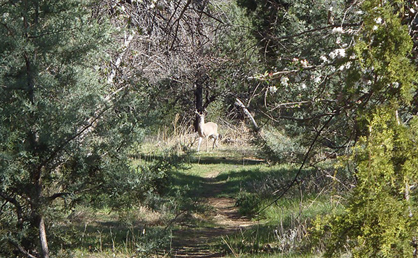 The deer sees us, too. |
 The doe watches us warily. [photo by Quy] |
|
We have time to upgrade our camp site, so we move some logs into good sitting positions. |
 This log will make a fine bench for us. |
|
We now have good seating for our lunch, before we head up to Circle Stone. Circle Stone is 6 miles and 1,300 feet above us. This trail is a lot rougher than I remember it, so our plans to come back in the moonlight are off. Circle Stone is an old ruin that is an ellipse (about 140 ft. across) and the door ways are aligned to the seasons. We were there at the equinox, so you could see one of the doors line up with where the sun would set. Circle Stone has good view of Globe, Four Peaks and the surrounding area. In the center is what is left of a tower. The tower was thought to be two stories tall. Now a-days there are cactus growing there. |
 Trailblazers see Circle Stone up close. |
 Fine view of the Four Peaks from here. |
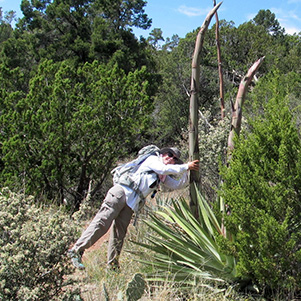
 Don’t step on the cactus. |
|
It is now 4:30 so it is time to go back to camp. The meadow we are in is large, so our tents take up very little of the space. We get the camp fire going and water heated for dinner. After dinner we tell stories around the camp fire. The almost full moon does light up the valley, so star gazing is better than Phoenix, but not at its best. All three nights we can see Jupiter next to the moon. |
 Camping in the Superstition Wilderness. |
 By Jove, it’s a fine campfire. |
|
Day Three: Monday, March 21
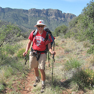
On Monday we do a fun hike out to Windy Pass to look down on Apache Lake. This is a round trip of 10 miles and 500 foot of elevation. Part of the group will go with Bill on the Log Trough & Frog Tank adventure. The flowers are out on the Reavis trail out to Windy Pass. |
 Allionia incarnata - Trailing Windmills |
 Castilleja lanata - Sierra Woolly Indian Paintbrush |
 Cirsium neomexicanum - New Mexico Thistle |
 Glandularia gooddingii - Gooding’s Verbena |
 Globemallow and Fleabane. |
|
This trail is on the old road that run out to the Apache Trail and the road is getting very overgrown. The first time I walked this trail, the road was still good enough that my truck could have driven it. Now an ATV could not drive it. We get to Windy Pass and the wind is only blowing at about 10 mph, so this is a calm day. The lake is far away and behind a ridge line, so no lake views. We can see the canyon that the Salt River flows in, but no water. It is 5 miles from Windy Pass to the trailhead, which is a couple of miles from the lake. |
|
Day Four: Tuesday, March 22
On Tuesday we get the camp packed and ready to go at 8:00 AM. This will be a breezy day, which is good to keep us cool. There is a weather front moving in with the possibility of rain. We leave Rudy’s block of ice on top of the ashes that was the fire. The ice block gave us cold beer every day. We make good time up to the saddle and break for snacks. We make good time down the hill and get to a good spot for lunch. |
 Our last lunch in the wilderness. |
|
The next mile is hard, because it is the last mile before we get to the vehicles and uphill. We get back to the vehicles a little after noon. I get a surprise when I get to my vehicle, the battery appears dead. Due to the bumpy ride up, the battery cable has come loose from the battery. We reconnect the cable, jump start the truck and we appear to be good. When we stop to get milk shakes the alarm system decides to make me do an alarm reset before it will let me start the truck. After I get home, have to get out the manual and do a complete reset. The truck alarm system does not like having power off for an extended time. |
|
Supplemental Report by Bill Zimmermann |
|
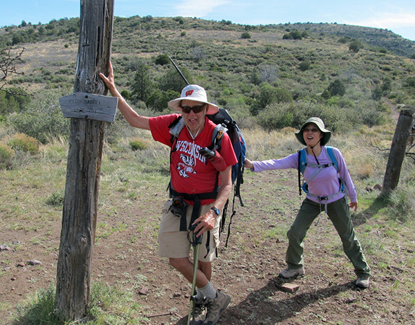
Day Three: Plow Saddle Frog Tank Loop
On day three, ten hikers set out to hike Tail #109 north to Windy Pass. At the intersection with Plow Saddle Trail #287, Bill, Gary, Lin, and Sandy headed south. For Bill, convincing the others was easy. The hiking sure wasn’t. A faint trail turned into no trail. What’s new? We bushwhacked down until we met the trail at “TX”. We continued on #287 until the junction with the Frog Tank Trail #112. |
 Sure enough, we found the Plow Saddle Trail sign. |
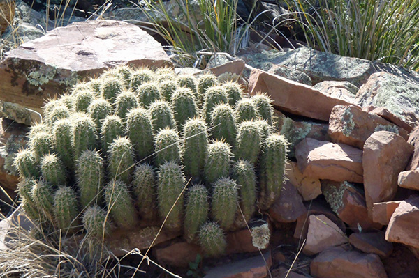
 Springtime in the Superstitions. [photo by Lin] |
 Lin photographs a blooming hedgehog cactus. |
 The bushwhack continues. [photo by Lin] |
 We must be closing in on the trail. |
|
The frog tank trail sign had one darkened arrow pointing west. Bill had a detailed topologic map of the area, but lacked the Superstition Wilderness map. The plan. Stay on trail. Most likely, we thought, it would soon make a 180 and send us eastward toward our camp. It did not. After photo-ops with the Paradise Mountains in the background, we returned to the junction. |
 We must be going the wrong way. [photo by Lin] |
 Hopping mad! |
 Let’s try going the other way. [photo by Lin] |
 Yes, this is it. |
 I’m with you. |
 We found the junction. [photo by Lin] |
|
On closer inspection, the trail sign did have a faint arrow pointing to the east. Our goof. The trail was in good shape. After lunch break under a nice shady juniper, we hiked the Frog Tank trail back to the #109 junction without incident. |

|

|
| Now we can enjoy a leisurely picnic lunch. [photos by Lin] | |
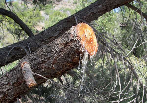 Tree trimming, with plenty of sap. |

|
|
| Since we’re here, why not hug a tree? | |
Thanks to Michael Humphrey for organizing and leading the backpacking trip: 8.5 miles, +-850 feet on day 3. |
 Top of Page
Arizona Trailblazers Hiking Club, Phoenix, Arizona
Comments? Send them to the AZHC .
updated January 15, 2020