
Outdoor Links
Hike Arizona
Trip Planning Guide
Trip Report Index
Calendar of Events
Library
|
Hawknest Trail Day Hike McDowell Sonoran Preserve December 15, 2018 by Quy Nguyen |
|
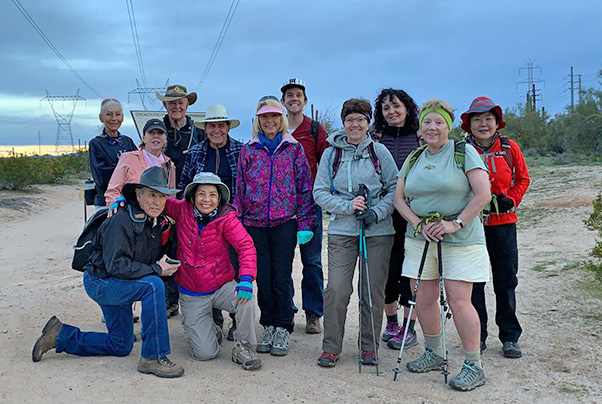 It’s cloudy, but our spirits are high. [photo by Quy] |
||||
|
|
It’s so convenient to access to Hawknest Trail at this trailhead. Before the trailhead was established in the spring of 2018, people had to hike some miles from different connector trails to the Hawknest Trail if starting at Brown Ranch Trailhead or Granite Trailhead. We won’t hike the entire 12 miles of the Hawknest Trail today—only 4.5 miles, the most scenic section of Hawknest Trail with interesting photography. |
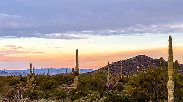 Dawn in the McDowell Sonoran Preserve. [photo by Quy] |
 Trailblazers start their trek. [photo by Quy] |
 Trailblazers on the rocks. |
 Quy and Sandy |
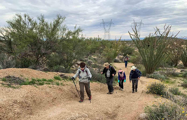 There are a few climbs on this trail. [photo by Quy] |
|
From Pima Dynamite Trailhead we hiked Power Road 0.4 miles to the Hawknest Trail. The trail has many pleasant ups and downs along the way, with views the major mountains such as Browns, Cholla, Cone, Granite. In addition, this trail has a beautiful collection of cacti including saguaro, jumping cholla; large yuccas, and some beautiful outcrop rocks, and big granite boulders. After hiking the Hawknest Trail 4.4,miles, at the junction with Basalt Ridge Trail, we hiked up to Basalt Ridge Overlook 0.1 mile to enjoy 360° desert view. |
 Billie finds a bud, [photo by Dave] |
 The big eye. [photo by Biljana] |
 Continuing on the trail. [photo by Quy] |
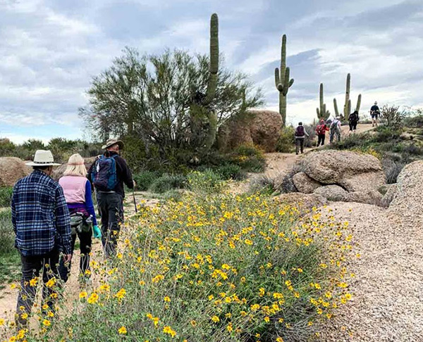 Onward and upward. [photo by Quy] |
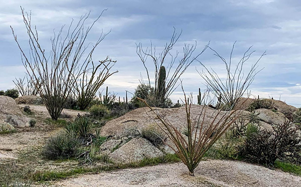 Ocotillos are dormant this time of year. [photo by Quy] |
 A cloudy day can he fine for hiking. [photo by Quy] |
|
We continued on the Basalt Ridge Trail 0.3 miles to the Upper Ranch Trail. Here we turned right, went 0.6 miles, and turned right again on the Cone Mountain trail. Continuing a mile on the Cone Mountain Trail, we encountered slight elevation changes easy, wide turns, and some scattered granite boulder formations. |
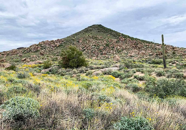 Cone Mountain. [photo by Quy] |
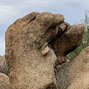 All right. What’s up with that? [photo by Quy] |
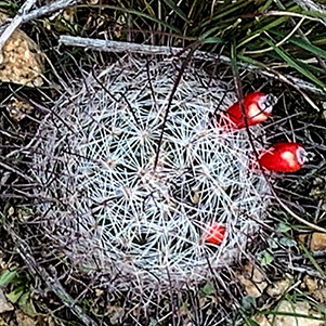 Hedgehog with red berries. [photo by Quy] |
|
Turned right on the Hackamore Trail 0.5 miles to the Latigo Trail, then 2.5 miles back to the trailhead. Latigo Trail is one of the most enjoyable in the McDowell Preserve, with gentle slopes, terrains and expansive views in every direction. It is common to run into many hikers, mountain bikers, and equestrians along the trail. With some rains this year, brittlebushes are blooming to brighten the trail. |
 Brittlebush in bloom. [photo by Quy] |
 Crested saguaro. [photo by Dave] |
|
Thank to all for coming to join my hike. Happy Trails! From Dave: 10.4 miles, average speed 2.3 mph, average moving speed 2.7 mph, 4 hours 30 minutes, elevation gain 860 feet, min elevation 2295, max elevation 2697. |
 Yes, there were flowers. [photo by Quy] |
 Top of Page
Arizona Trailblazers Hiking Club, Phoenix, Arizona
Comments? Send them to the AZHC .
updated December 17, 2018