Outdoor Links
Hike Arizona
Trip Planning Guide
Trip Report Index
Calendar of Events
Library
|
Pinto Creek Bridge Day Hike Miami, AZ January 13, 2018 by Scott Green |
|
|
This was a hike destined to be completed by this specific group: on January 13th, 13 hikers (13:13) met on the east side of Phoenix and carpooled to Top of the World. Top of the World is a small community at the saddle between Superior and Miami, AZ. (Do you how to pronounce Miami? Not like Florida. Mi-am-a with short a’s.) Parking along US 60 just a few feet from Top of the World, we met up and started our trek along the original US 70 route. A dead-end forest road which, along with its historical significance, provides scenic views to the north and east toward Miami. |
 They went this way? [photo by Bruce] |
 Grand overview of the mining district. |
 The old road is still there, mostly. |
 Yes, it still has pavement. |
|
It was a bit cool, but due to earlier mid-week rains there was no dust! As we continued we easily saw where we were heading, due to the carved out road and the views across Pinto Creek. The plan was for us all to stop at Pinto Creek for a group picture, but the way the road was engineered it was quite high above the creek, making it easy to just continue on the old highway. The highway at this point in time had broken and short pieces of asphalt varied in width. At times much wider than necessary for two cars to pass and in other places just wide enough for a small car, due to grown bushes or large rock slides in many spots. One person wondered how well the cars traveled at night without road reflectors driving through this wildness area. Once we reached the end of the road, we were disappointed. A few from the group climbed a large dirt/rock mound knowing that the road still had some distance. Unfortunately their efforts didn’t find an easy path where the historical road meets up with US 60 again, so we turned around and retraced our steps. The hike was advertised as 10-12 total miles, but we had only traversed 4 miles one way. On the return trip we came back to Pinto Creek where the group naturally separated into three separate groups: Four back to the cars; Five to the bottom to see Pinto Creek and its culvert; Four to the culvert continuing downstream to the existing Pinto Creek US 60 bridge. |
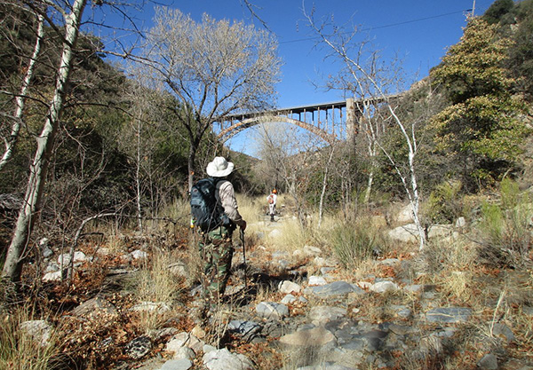
 Fine view of the current Pinto Creek Bridge. |
 It’s showing some rust. [photo by Bruce] |
 I can see the stone work above us. |
|
For those of us who ventured down, the culvert was quite amazing due to its large arch and area where the creek had been damned facilitating an electric pump pushing water to somewhere. On the way back along the highway we saw a glimpse of the adventurous foursome headed to the bridge determined to make the hike closer to the advertised 12 miles. |
 Egad, there’s a tunnel here. |
 Let’s see what’s on the other side. |
 Cholla, not jumping. [photo by Bruce] |
 We found a survey marker. [photo by Bruce] |
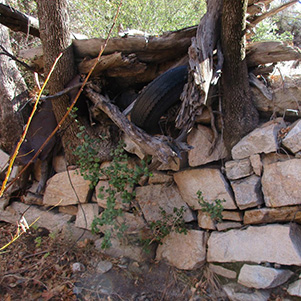 Rock wall. [photo by Bruce] |
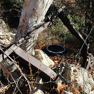 Construction debris. [photo by Bruce] |
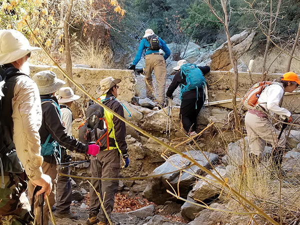 Here’s a breach in the wall. We can go through |
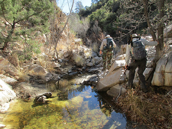
 We made it upstream. [photo by Bruce] |
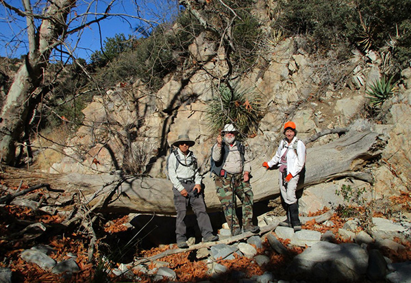 Three intrepid explorers. [photo by Bruce] |
 Yes, there was some water. [photo by Bruce] |
|
The hike itself was easy, which might have disappointed some but hopefully the scenery and history of the old highway made a very enjoyable day for everyone. |
 Top of Page
Arizona Trailblazers Hiking Club, Phoenix, Arizona
Comments? Send them to the AZHC .
updated January 14, 2018