Outdoor Links
Hike Arizona
Trip Planning Guide
Trip Report Index
Calendar of Events
Library
|
Dixie Mine Trail McDowell Sonoran Preserve November 11, 2021 by Billie Horn |
|
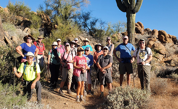
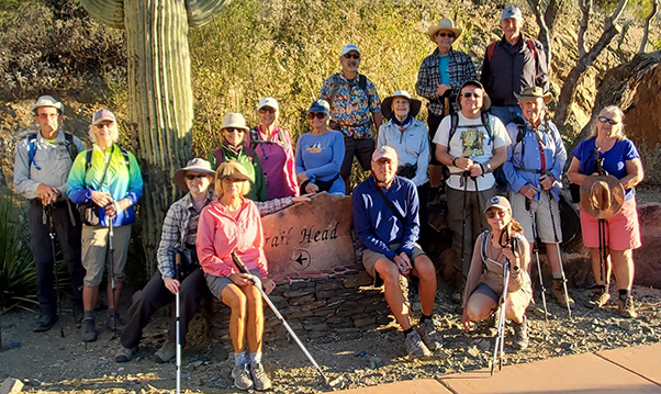 At the trailhead. [photo by Riley] |
||||
|
|
Billie Horn led this hike. Wendy Rennert was our photographer (all but the first picture). 17 hikers enjoyed a scenic journey to visit the Dixie Mine and some amazing petroglyphs. After the group photo, we started off through the gated community on a sidewalk and pavement for a quarter mile to the actual trailhead, and then hit the trail to the mine. |
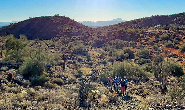 Early in the hike, we’re going away from Weaver’s Needle. |
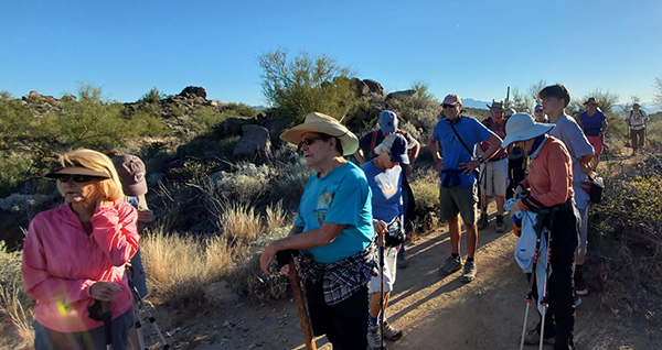 Let’s take a break. |
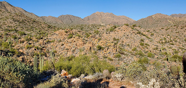 Thompson Peak, where we’re not going today. |
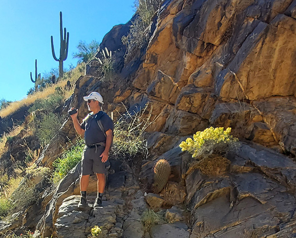
 That is some saguaro. |
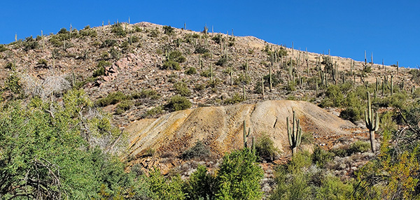 Minerals add color to the rocks. |
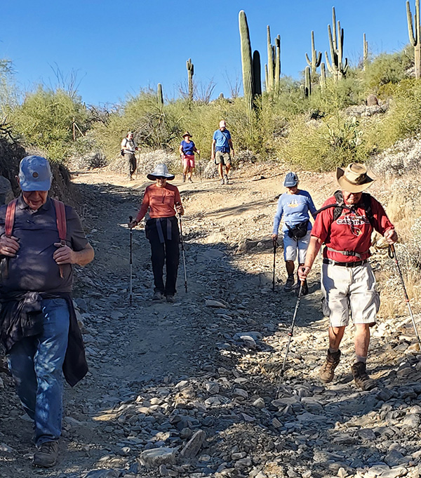 On the trail to the Dixie Mine. |
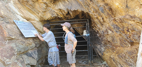 Don’t go in. |
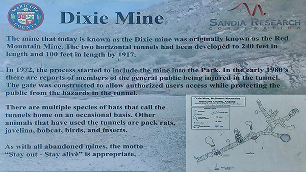 Sign for tourists. |
 What a picture spot! |
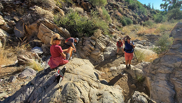 Admiring the view. |
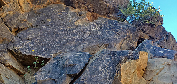 Petroglyphs. Who can read them? |
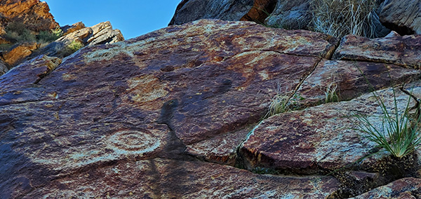 Don’t you wish you could talk with the artist? |
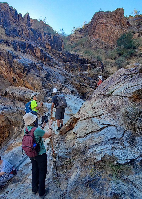 On the rocks. |
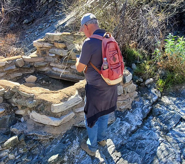 We got to see the ruins. |
|
After exploring the area at length, we decided to take a different trail back to the trailhead. This added maybe a quarter mile to the distance, but we got to see some ruins and take our best guesses as to what was there long ago. It didn’t appear to be ancient. Thanks to Bruce for showing us this trail. All 17 arrived at the cars in fine spirits.
17 hikers |
 Top of Page
Arizona Trailblazers Hiking Club, Phoenix, Arizona
Comments? Send them to the AZHC .
updated November 12, 2021