Outdoor Links
Hike Arizona
Trip Planning Guide
Trip Report Index
Calendar of Events
Library
|
Phoenix Mountain Preserve Perl Charles Trail 1 A and VOAZ January 26, 2021 by Billie Horn |
|
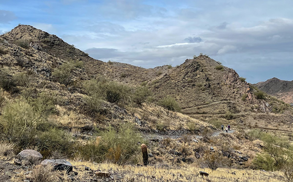
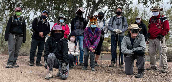 Arizona Trailblazers in the Phoenix Mountain Preserve. [photo by Quy] |
||||
|
|
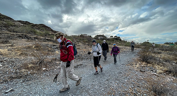
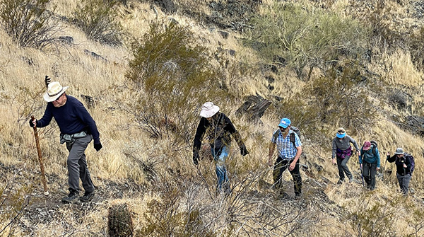
Leader: Neil Dennis, co-leader Billie Horn. 12 eager hikers signed up and showed up for this hike on a rainy Tuesday morning. A squall had moved through the area just moments before met up, but stopped in time for us to get going. Quy took our group photo and many other nice pictures along the way. |
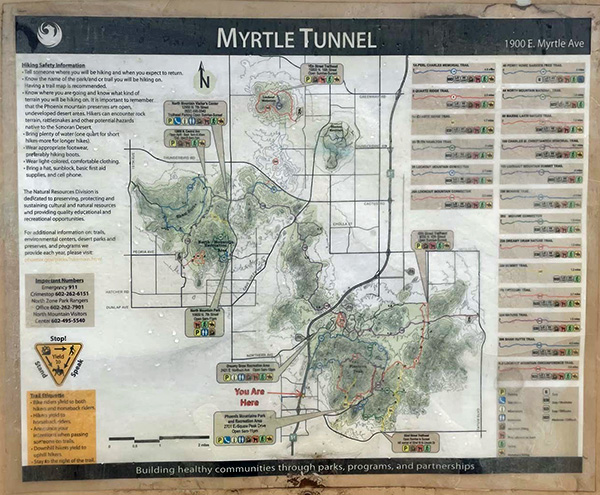 You Are Here. [photo by Quy] |
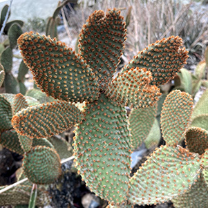
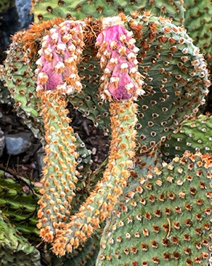 Even cactus needs rain. [photo by Quy] |
 Quy takes good pictures! [photo by Angel] |
 It’s wet inside the tunnel. [photo by Quy] |
|
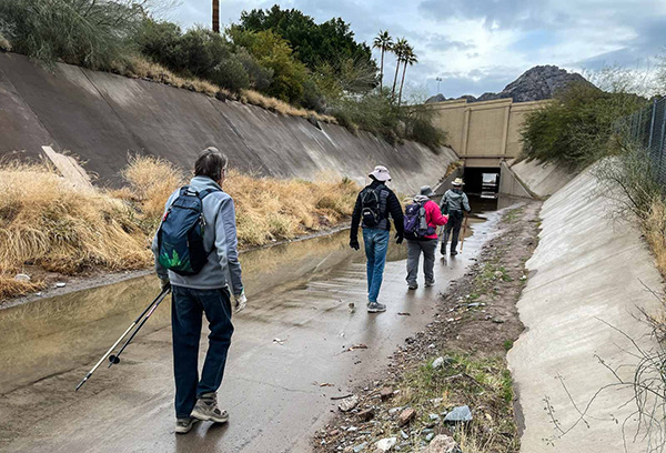
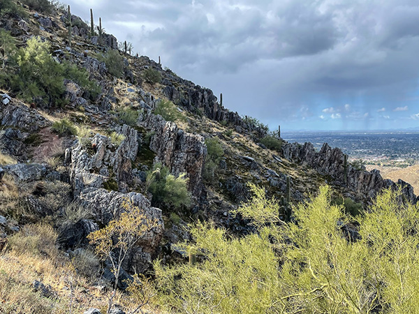
From the Myrtle Street Trailhead, we switchbacked down into the wash and through the tunnel under the 51 Freeway. It was a little wet under there, but the puddles were easily avoided. This is the Perl Charles and VOAZ Loop Trail with a few added side trips for points of interest. After following the 51 freeway, (the noisiest road I’ve ever heard) for half a mile or so, we veer to the right as the trail takes us up into the mountains. That’s a relief. No more noise! |
 The trail is wet, but it keeps the dust down. [photo by Quy] |
|
|
| We won’t let rain dampen our spirits. [photos by Quy] | |
 This is mining country. [photo by Quy] |
 Are you sure this is on the up and up? [photo by Quy] |
 ... of is it on the down and down? [photo by Quy] |
|
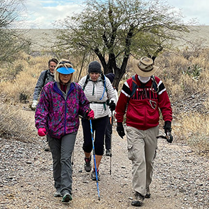
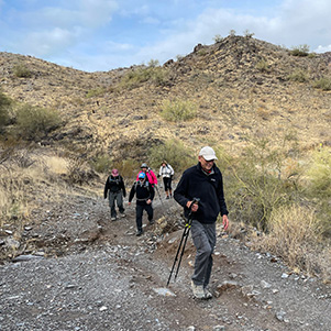
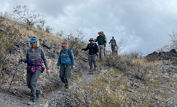
The trails in the preserve can be steep for short periods and are rocky in many places. Neil is very familiar with these trails, so he led us up, down, and around, stopping at each scenic vista for a breather. We stopped to show the group the petroglyph just off trail. Dave brought up the possibility that it was a “more modern” rock art. Quy shared a nice photo, so readers can judge for themselves. How does one authenticate these? |
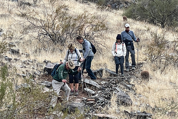 You said the trail would get rocky. [photo by Quy] |
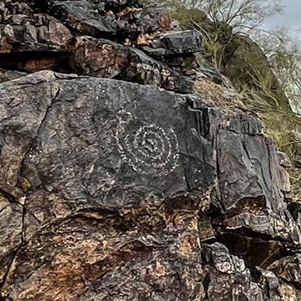 Petroglyph or modern art? [photo by Quy] |
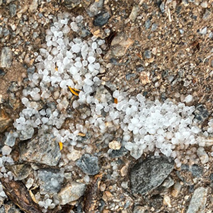 Hail. [photo by Quy] |
|
At this time many of us were getting hungry and ready for a break. There is a special place, perfect for the hikers to rest, and Neil and I had planned to sit and chat a spell while admiring the quiet and the view. But Mother Nature had other plans. The rain started and the temp seemed to drop, so we decided to get going, just in time for the hail to begin popping off the brim of our hats and jumping all over the trail. It could have been worse, because in the area there is virtually no cover. Thankfully the storm didn’t last but a few minutes. No harm done. The history in this area is mostly about Mercury mining. Old mines are scattered all around. At least 22 are marked on a map at the North Mountain Visitor Center. They are covered up and overgrown now. |
 The rain seems to be letting up. [photo by Quy] |
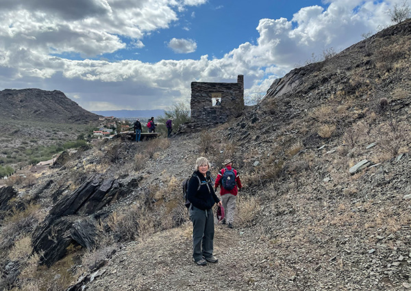 Sam Hughes built a cabin. [photo by Quy] |
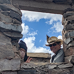 I can see you. [photo by Angel] |
 Glochids. [photo by Quy] |
|
The Rico Mine was operated by Sam Hughes, who in 1916 discovered Cinnabar, a mercury sulfide. Sam erected a retort furnace, built a cabin, and sunk a main shaft and a water well. Working alone, Hughes would fill an ore bucket and climb 100 ft. of ladder to the surface and then hoist the ore bucket using a hand windlass. In 1925 the U.S. Bureau of Mines deemed the mine too damp and the temperature too high and ventilation poor. These conditions kept production small. When the freeway was planned, it was decided to build it right over the mines. There is also an elementary school, Mercury Mine School, which is reported to be built right over the mines. But the City runs tests on the soil etc. to ensure safety.
Stats: 7 miles, 12 hikers, 4 hours, elevation gain 1456' |
 Top of Page
Arizona Trailblazers Hiking Club, Phoenix, Arizona
Comments? Send them to the AZHC .
updated January 29, 2021