Outdoor Links
Hike Arizona
Trip Planning Guide
Trip Report Index
Calendar of Events
Library
|
West Clear Creek Camp Verde May 22, 2021 by Rodney Baba, Lin Chao |
|

|
||||
|
|
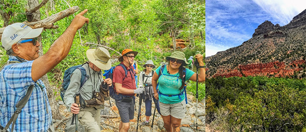
Fifteen hikers met early Saturday morning for a hike up West Clear Creek. After introductions, Rod reviewed hiking etiquette and safety protocols to ensure that everyone had a safe hike. Also he reviewed specific hazards that we might encounter along the trail including slick rocks and Poison Ivy. Also he discussed the various ways to cross the streams. We split into two groups, short and long hikers. Lin took charge of the short hike group and Rod led the long hike group. Vicki and Lin volunteered to be trip photographers. |
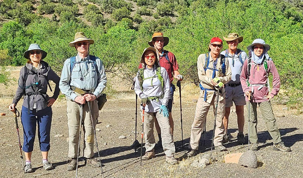 Short Hike Group: Karen, Robert, Lin, Mark, Carl, David, Jade |
 Long Hike Group: Vicki, Ramona, Julia, Neil, Diane, Steve, Rod, Debi |
|
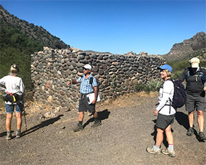
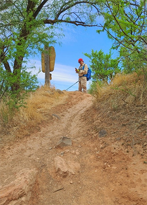
We stayed close together as we strolled east along the Bull Pen Road, a remnant from the 1850s, when settlers farmed and ranched in this area. The road was initially shaded by huge Sycamores and Cottonwoods. The road opened onto a broad chaparral shelf that runs parallel to the creek. A little way from the trailhead, we passed an old stone farmhouse surrounded by prickly pear cactus. At this point the groups separated, with the long hike group continuing down the road while the short hike group lingered to explore the area around the farmhouse. |

|
|
| Group Assessing a Fixer Upper | |
|
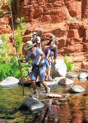
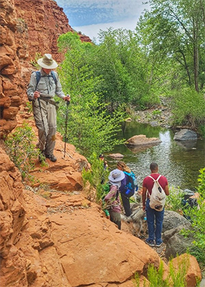
About a mile from the trailhead, we reached a trail marker and turned down a short drop that led to the creek and our first photo op. The groups rejoined temporarily to enjoy the peaceful sound of flowing water and the stunning scenery. |
 Carl and Lin |
 Hikers on Slickrock. |
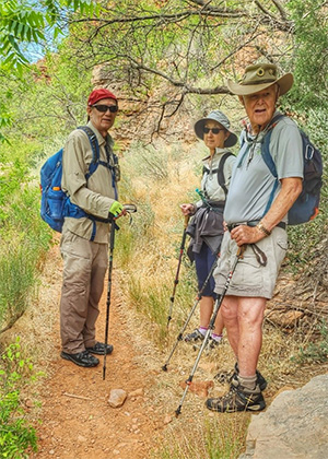
 Julia, Steve, and Robert Absorbing Nature |
|
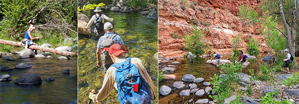
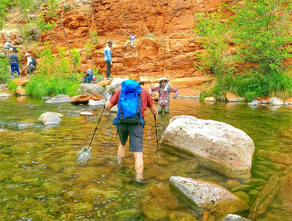
After a short distance, we came to the first stream crossing. Each member of the group decided how they wanted to cross. Some rock-hopped, some waded through thigh deep water and some switched to water shoes. Nobody drowned. |
|

|
| Neil leading the rock hop, while others follow their own path. | |
|
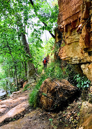
We traveled parallel to the creek through a lush riparian habitat of Sycamores, Fremont Cottonwoods, Arizona Walnut and Arizona Ash trees. |
|
|
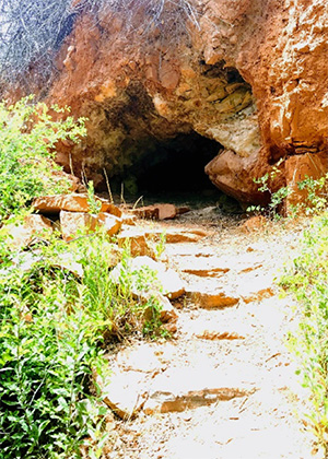
| Nobody appears to be home. | |
|
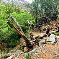
We pass large snags of tangled branches and see patches carpeted by grapevines. |
|

|
|
|
After a short distance, we cross the creek a second time and continue between the creek bed and the canyon wall. |
 Ramona found a new way to cross, while the rest of us just slogged along. |
|
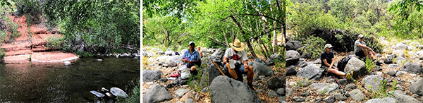
After the third crossing, the short hike group decided to stop for lunch in a shady glade next to the creek. The long hike group started a gradual climb up the the north side of the creek with commanding views of the canyon and across to the stunning red rock cliffs. Rod talked about the 4 geologic layers visible on the canyon wall. |
 A Geology Lesson. |
|
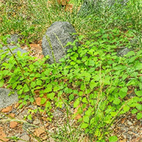
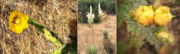
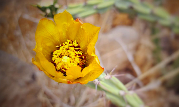
The landscape changed from riparian to chaparral with scrub oak, mesquite, holly, and juniper. The cacti are blooming with magenta, yellow, and orange cup-shape flowers. |
|
|
After descending back down the side of the canyon we reached the creek at the 5-mile point. We stopped for lunch at a shady area next to the creek. We returned to the trailhead by the same route. |
|
|
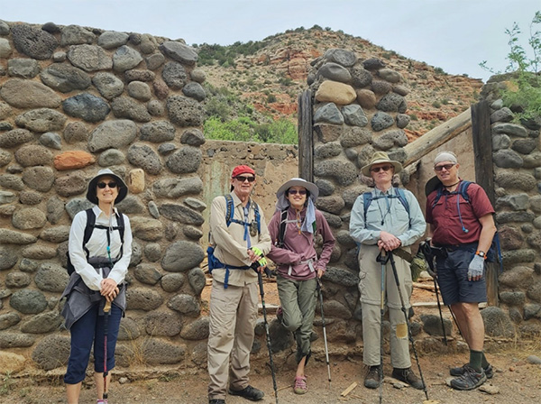
Lin’s Addendum: Short Hike Return Trip After we separated with longer hike group, we took lunch at shaded creek area. What a perfect place to have a snack—listen the water running, people and dogs ware crossing. Everything was so green! After a quick snack, we marched back to trailhead. I must admit, as much as we like to hike, but staying in the shade and walking in the creek was so much fun and enjoyable. Like Jade said, “Can we just follow the creek to go back to trailhead?” (Rodney, that’s a great suggestion for Fall season hike in October. Water webbing only for 5 miles). We stop at farmhouse to explore more, we took a group picture, and Mark likes this farmhouse so much he refused to leave, we had to place him in “Time Out” on a strange apparatus that was conveniently nearby. We all back to trailhead at 11:56 AM. We did 5.85 miles. After quick changing shoes and a restroom break, we all left the trailhead by 12:06 PM. What a fun trip! Thanks, Rodney. → More pictures, by Lin. |
 Carl, Karen, David, and Jade are ready to hike after lunch. [photo by Lin ] |
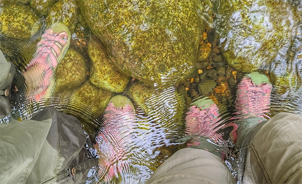
 Beautiful reflection. [photo by Lin ] |
 Jade is directing traffic at the creek. [photo by Lin] |
 Twins? Very fun time at the creek. [photo by Lin] |
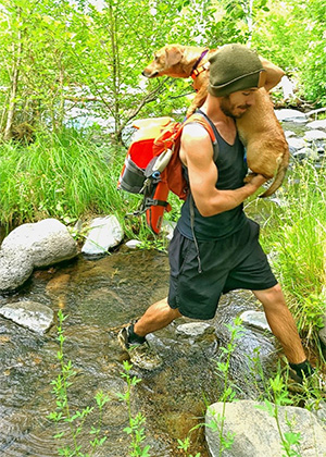 Lucky dog! [photo by Lin] |
 Carl, Karen and David are waiting. [photo by Lin] |
 Robert is ready to leave. [photo by Lin] |
 Carl is checking his distance. [photo by Lin] |
 Group picture: Karen, Carl, Jade, Robert, Mark. [photo by Lin] |
 Mark refused to leave. [photo by Lin] |
 What do you say, Mark? [photo by Lin] |
 The yellow rose of Texas? Well, maybe not. [photo by Lin] |
 Top of Page
Arizona Trailblazers Hiking Club, Phoenix, Arizona
Comments? Send them to the AZHC .
updated May 26, 2021