Outdoor Links
Hike Arizona
Trip Planning Guide
Trip Report Index
Calendar of Events
Library
|
Santa Catalina Mountains Tucson September 18, 2022 by Li Li |
|
 Trailblazers at the end of the hike. |
| Li, Janet, Debbie |
Mount Lemmon is a sky island located in Coronado National Forest near Tucson. Summerhaven is a small resort town located below the summit of Mount Lemmon.
This is one of the coolest places in Arizona during the hot summer. Although it is already mid-September, Phoenix is still staying in the triple digits in the afternoon, so I decided to hike at Mount Lemmon to do the Butterfly to Sunset loop hike. Our club had never done this loop before although we did the majority of the Butterfly trail. After people signed up and dropped out, I only had three hikers left on this hike.
We were happy that the weather was great on Sunday morning. It was a little chilly in the beginning since this mountain sits at about 9000 feet elevation.
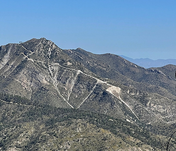 San Catalina Mountain. [photo by Li] |

|

|
| Janet and Debbie were the only ones left. [photos by Lin] | |
Janet and I put on an extra layer to keep ourselves warm. We started at the Butterfly Trailhead and continued winding up and down the trail. One mile in we had to shed off a layer, since the weather was getting warm as we climbed. Soon we headed into the deep dense wooded forest.
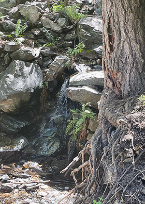
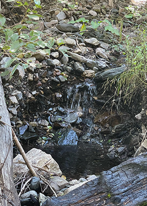
The trail had overgrown a lot since I was there two months ago for scouting. Beautiful colorful wildflowers greeted us on the path and elevated our mood and spirit. Two and a half miles in we heard water flowing. Thank to recent rains, lush green ferns, and small pleasant waterfalls appeared on the side of the trails, which added a more interesting points to the hike.
|
|
| Small pleasant waterfalls. [photos by Lin] | |
Janet and Debbie were delighted with these unexpected features.
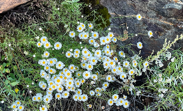 Wildflowers cheer us. [photo by Li] |
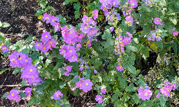 Wildflowers cheer us. [photo by Li] |

|
|
| Wildflowers cheer us. [photos by Lin] | |

|
|
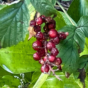
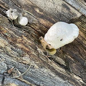
| Is it edible? [photos by Lin] | |
 Butterfly sports active duty insignia. [photo by Li] |
|
|
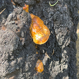
| Let’s hear it for sap, fungus. [photos by Lin] | |
3 miles in, we were approaching the airplane crash site. Janet had not seen the crash site before, so we made a detour to see the crashed plane pieces. We made a right turn and followed my GPS track hiked about a quarter mile uphill, to my surprise I did not see anything and my GPS ended there. I walked farther, since I remembered it was close to where we were but found nothing. I was very disappointed.
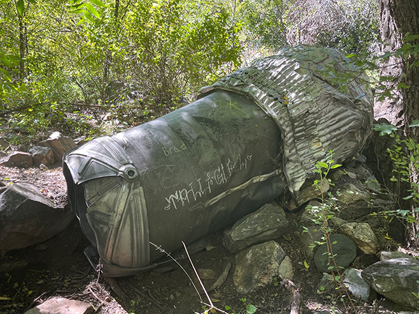
Just then Janet and Debbie pointed behind me the airplane piece. This was the front piece of the airplane almost like a cockpit. Then we walked a little farther to try to locate the second piece, since I remembered that I took a picture of the engine a few years ago when I did this hike. About 30 feet up, we spotted a large piece of the crashed engine laying quietly right on the side of the trail, telling the story of what happened on that day. To my surprise, this piece was still in great condition even after more than 60 years of rains, storms, forest fires, and snow at mount Lemmon.
The story is on July 8, 1957, at the Davis-Monthan Airforce Base, three F-86 D Sabre-jets were joining up attempting to make arrow-formation high up over the Catalina Mountains, as they flying up, they got confused about each man’s position. As a result, the two planes crashed. Luckily the pilots bailed out before the airplanes hit the ground. They were rescued in the deep forest the next morning after spending the night in a thunderstorm on the mountain. One airplane was found near Mt. Bigelow on the Butterfly Trail, and the other was found in New Mexico three months later. See story.
 Part of a jet plane that crashed. [photo by Li] |
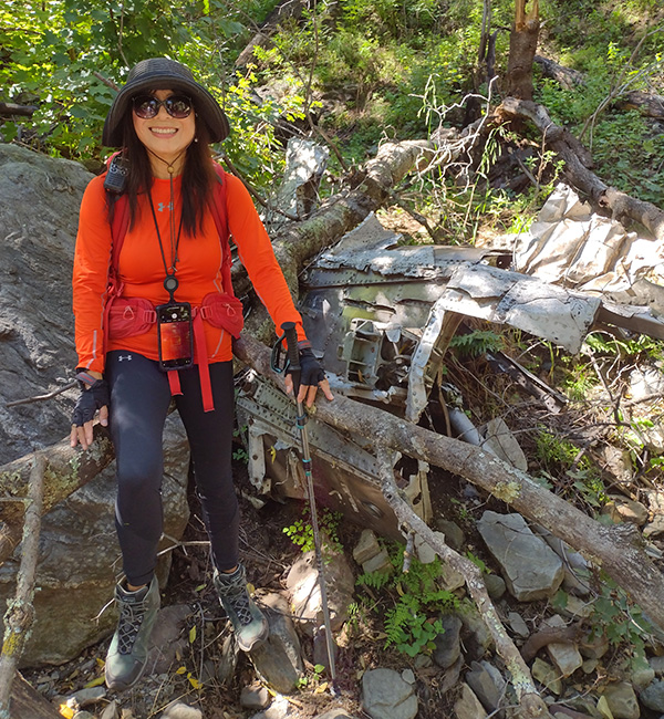 Li, our fearless leader. [photo by Debbie] |
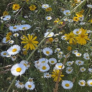
After viewing the wreckage site, we went on heading to the west. Soon we started climbing up the hill. This area was beautiful! Everywhere was filled with fields of yellowish flowers as tall as me. The Bighorn forest fire two years ago destroyed all the trees in this area but it must have benefited these wildflowers and served as fertilizer for them. With the addition of recent rain providing fuel for them to bloom. Debbie and Janet were joyfully walking among these beautiful flowers, while I was busy taking pictures.
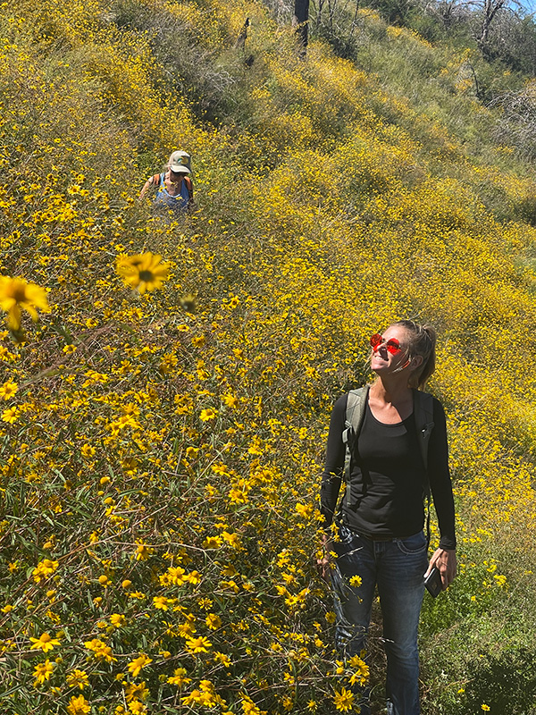 Janet and Debbie are having a good time. [photo by Li] |
 Egad, here’s a sign among the wildflowers. [photo by Li] |
We were all excited about the beautiful scenic mountain feeling lost in mother nature’s wonderful creation. As we marched on about another half mile, we reached the highest point of our hike, the Bigelow Mountain peak. We spotted three white-tailed deer having their lunch below the hill. Janet found them first as Debbie and I approached the site where they were. We stopped, and were excited to take pictures of them.
 Bigelow Mountain peak. [photo by Li] |
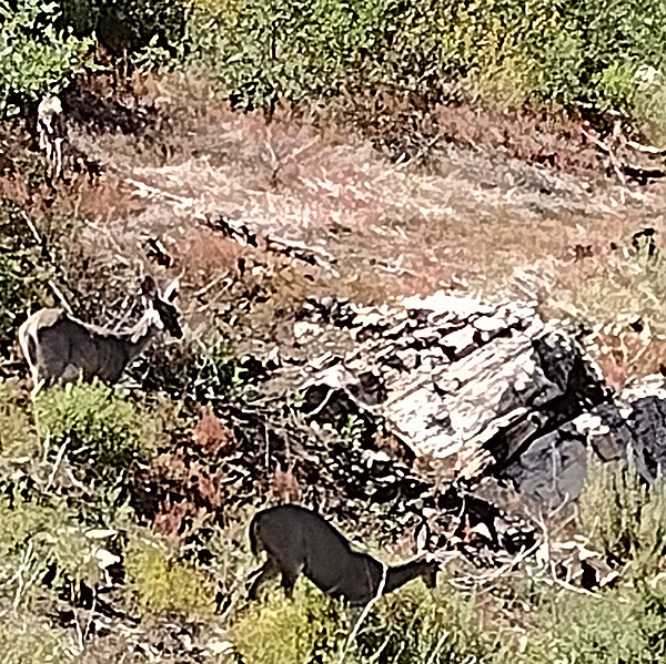 We spotted deer on the mountain. [photo by Li] |
After a short snack break at a small campsite, we continued on through the wide service road. After about 1.5 miles of steady descent, we made a sharp right turn, trying to intersect the Sunset trail. We passed a few camping sites walking down the hill to the dry creek area. From here the trail connected to the Sunset Trail.
 Protect And Enjoy your National Forest. [photo by Li] |
I was surprised to see how dry this area had become. Since two months ago there was water in the creek and now this area was all dried out even after recent rain storms. We saw people and kids playing on the campground. We greeted them, and then moved on to the east. This area had become lush green grassy land and along the trail we found some concrete structure remnants here and there on the trail.
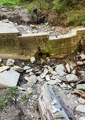 The remains of a wall. [photo by Li] |
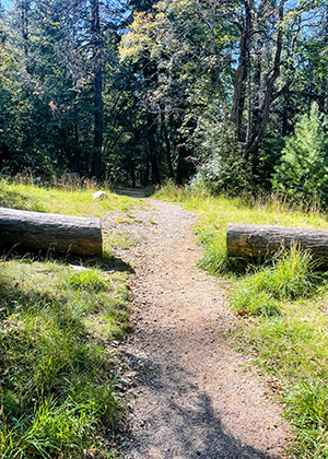 Sawyers have cleared a fallen tree. [photo by Li] |
We also could hear cars and trucks passing by since the portion of the trail was paralleled with the forest road and highway. After passing a big under-bridge tunnel, we marched on toward the soldier campground. Many big cork oaks stood tall along the side of the trail. We soon saw a wood bridge, there were a few ladies that were taking photos for the birthday party.
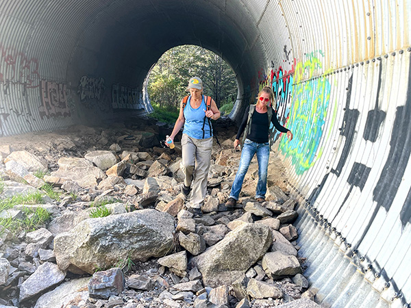 Janet and Debbie pass through the tunnel. [photo by Li] |
We politely asked them to take a group photo for us as we approached the end of the hike. Passing the bridge to the left, we walked up to a small uphill then we saw the cars parking at the trailhead. Now we had reached the Sunset Trailhead. Passing the highway on the other side walking about 10 yards to the right our cars were parked at Butterfly Trailhead. We had done the total 9.3 mile hike in 4 hours and 53 minutes with 2362 feet of elevation gain. I was so happy that we had a great hike. Janet invited us to her house for a celebration dinner. We cheered for a wonderful hike at Mount Lemmon!
 What a repast! Yum! [photo by Li] |
 Top of Page
Arizona Trailblazers Hiking Club, Phoenix, Arizona
Comments? Send them to the AZHC .
updated October 1, 2022