Outdoor Links
Hike Arizona
Trip Planning Guide
Trip Report Index
Calendar of Events
Library
|
Edge of World Hike Coconino National Forest June 5, 2025 by Vicki Kassel |
||||||
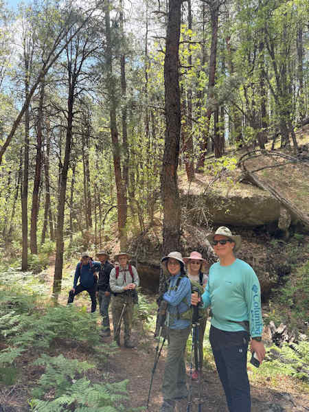
On the morning of June 5, five of us drove up to Kachina Village, in three 4WD vehicles, where we met up with two members from Flagstaff, for our day of exploring in Northern Arizona. We originally planned a two-day trip, which included one night camping, however due to the rain and thunderstorms forecasted in Flagstaff, we decided not to camp, and spent only one day exploring the area after the storms had passed. Our first adventure was an exploratory out and back hike at Kelly Pocket. This was my first time hiking on this trail, fortunately, our members from Flagstaff were very familiar with this trail and were happy to show us the way! There is no trailhead sign for Kelly Pocket, but we parked in the small dirt lot off of Forest Road 9498A, and our Flagstaff friends knew how to find the trail. This hike is also on Alltrails, so you would be able to locate the trail using the app.
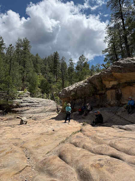
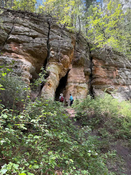
The trail meanders through tall pines with plenty of shade as we hiked into the ravine. We didn’t see much water, even after the recent rainstorm, however we enjoyed the beautiful rock formations near the end. The trail was primarily packed dirt, with a few rocky sections and one slightly challenging area requiring climbing /scrambling over large rocks. We saw lots of poison ivy along the trail, so we were all very alert and avoided contact with the poisonous plant. The hike back out is uphill, so we took our time. The Kelly Pocket hike was a total of 6.5 miles roundtrip and the elevation change was 728 feet.
After we enjoyed lunch in the shaded parking lot, we drove out to the Edge of the World. Forest Roads 532 and 231 were in great condition after the recent rainstorm, with only a few puddles, so I was pleasantly surprised we didn’t encounter any muddy sections. On the way, we saw Rogers Lake, which still does not have any water.
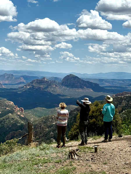
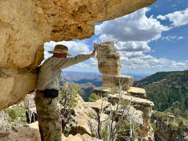
We also saw the end of the West Fork Trail, where it connects with FS231, and where several of our club members had previously backpacked. As we continued on our route, we passed the turnoff to the Fernow Cabin, which is a former forest service cabin, and is now available to the public to stay in, thanks to the Room with a View program with the Coconino Forest service. Reservations can be made on Recreation.gov. After driving approximately 20 miles we arrived at the Edge of the World, with views of Jenga Rock and the red rocks of Sedona. Everyone enjoyed the view, and the pine scented air, explored and took photos. It was a beautiful clear view, with white, billowing clouds after the recent rainstorm. We continued along FS231, and planned to visit the East Pocket fire lookout, however, the road to this historic structure was closed. We decided it was a good time to turn around and begin our journey back to Phoenix. Our offroad adventure was 55 miles round trip.
|
||||||
 Top of Page Top of Page
|
Arizona Trailblazers Hiking Club, Phoenix, Arizona updated July 1, 2025 Comments? Send them to the AZHC . |