Outdoor Links
Hike Arizona
Trip Planning Guide
Trip Report Index
Calendar of Events
Library
|
Davy Gowan Loop and FR 1701 Mazatzal Mountains June 1, 2011 by Bill Zimmermann |
|
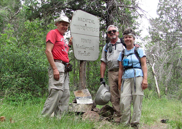 Bill, Gary, and Eileen explore the Mazatzal Wilderness. |
|
Bill, Eileen, and Gary left the meeting place at 6:45 AM. While traveling FR201 to the trailhead a bobcat darting across the road was followed up with a sighting of three deer bounding down the road. We started the hike under mostly flat gray skies. The trail was clear and easy passing Maple Draw at “CX!” as we headed downhill toward Windsor Camp. The camp is a large flat clearing close to Deer Creek. We followed the trail 045 to “S!” where we rebuilt the wilderness sign that had toppled over. Checking his map when he got home Bill discovered we had the sign facing the wrong way. Oops. |
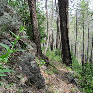 Trail 045 |
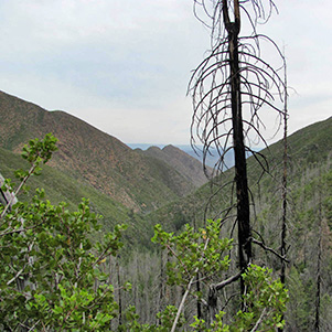 Deer Creek Valley |
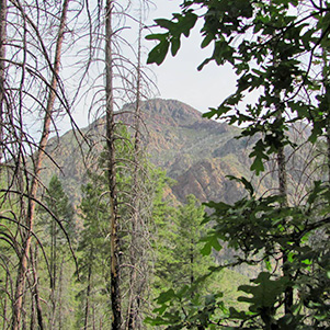 Mazatzal Peak |
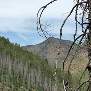 Mt. Peeley |
|
We backtracked to “TX1” a non-major intersection. We followed a faint trail. It was clear at first but soon became overgrown. We encountered an abundance of scat: deer, elk, coyote, and bear. Following bright non-faded pink ribbons gave reassurance the trail was marked recently. However, after crawling under downed trees, sliding down rocks, and a rope assisted crossing of a major washout, maybe the ribbons were non-fade material. |
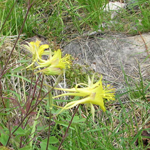 Aquilegia chrysantha - Golden Columbine |
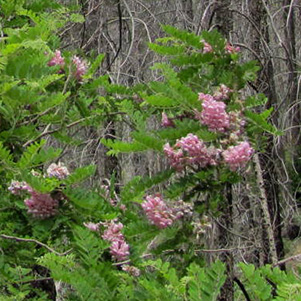 Mimosa dysocarpa - Velvetpod Mimosa |
 Eileen tries the rope. |
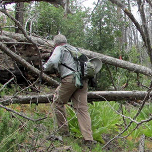
 Hack! The log! |
|
From “60” to where we rejoined the road at “RX48” there were no ribbons, just oodles of fallen trees. We walked the road from “RX48” to the trailhead. Bill sawed a projecting tree that reach out unto the road way and Eileen chased a butterfly for a photo. The abundance of Gamble Oak, Midwestern Oak, Maples, Sumac could provide great colors for a fall hike. |
|
 Isn’t this the trail, Gary? |
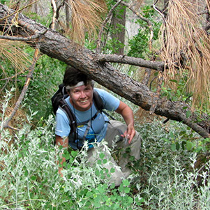 Eileen finds a way through the underbrush. |
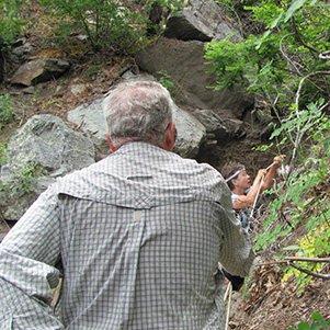
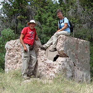 The Pine Mine, at last! |
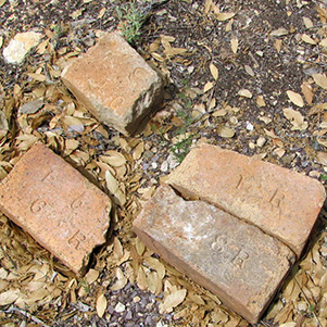 Bricks at the mine bear odd inscriptions. |
|
Mine locations 3,4,5,6,7,8, and 9 remain unexplored until next time. According to Bill’s GPS we covered 5.5 miles, +-1700 feet on trail 048 and another 1.8 miles, +-359 feet on FR 1701. |
 Top of Page
Arizona Trailblazers Hiking Club, Phoenix, Arizona
Comments? Send them to the AZHC .
updated November 2, 2015