Outdoor Links
Hike Arizona
Trip Planning Guide
Trip Report Index
Calendar of Events
Library
|
Peak 3134 Ridgeline Day Hike Goldfield Mountains January 15, 2011 by Chip Wells |
|
|
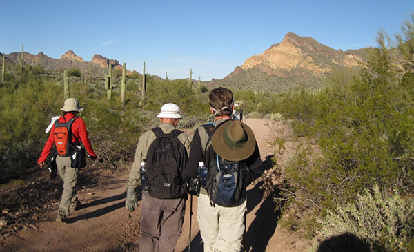
Six hikers carpooled to Hackamore Trailhead on a beautiful Saturday morning to hike the ridgeline connecting Peaks 3134, 3089 and 3047 in the Goldfields. |
 Trailblazers in the Goldfields. [Photo by Rob] |
| Colleen, Quy, Rob, Irma, Chip, Dick |
|
We headed northeast through the gate up Packsaddle Road. As the road turned north around an old gravel pit we headed north and then northwest. In the distance we could see Bulldog Gunsight Pass. We crossed a couple of washes and followed the Orohai trail toward Triple Trail Junction and F.S. 1356. The hikers proceeded west in Bulldog Canyon. |
 Westward, ho! Hiking toward Bulldog Ridge and peak 3269 along FR 1356 [Photo by Colleen] |
|
Shortly after the forest road turned south in Bulldog Wash, we left the canyon and hiked up an old mining road that led partway up Peak 3134. |
|
At the crest of the road we began following a cairn marked path that led around the west side of Peak 3134. On the north side the cairns led us up to the summit where the hikers were treated to a panoramic view of the Goldfields. After a short break we bushwhacked along the ridgeline east toward Peak 3089. From 3089 the group moved northeast and north to our final summit of the day. Peak 3047 is marked by an old weathered pole held up by metal guy wires. We decided that this would be a good spot for lunch. After the break we headed down off the ridgeline to a wash we could see in the northeast. On reaching the wash the hike leader incorrectly turned down the wash to the northeast. A half mile later he realized his error and reversed course. |
 Colleen, Rob, Quy, Dick, Irma with Peak 3134 in the background  Lunch atop Peak 3047 |
|
The group walked back up the wash, passed the point where we originally started and soon found themselves in the shadow of Hat Top Hill on FR 1356. |
 Skull found by Rob [photo by Rob] |
 the wash by Hat Top [photo by Colleen] |
|
The group went a short distance west on FR 1356 and turned south at a cairn marking the Green Thumb turnoff. We hiked generally south along the trail passing Green Thumb and Keyhole Arch to the west. Soon we were back at Hackamore Trailhead after hiking 11.3 miles and gaining 2,340 feet. |
 Top of Page
Arizona Trailblazers Hiking Club, Phoenix, Arizona
Comments? Send them to the AZHC .
updated May 31, 2020