Outdoor Links
Hike Arizona
Trip Planning Guide
Trip Report Index
Calendar of Events
Library
|
Prime Lake Day Hike Flagstaff July 2, 2011 by Ted Tenny |
|
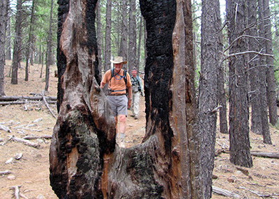
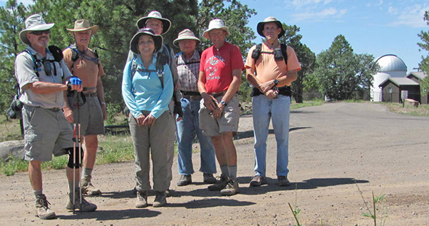 Gary, Dave, Quy, Rob, Ted, Bill, Craig, and the optical telescope. [photo by Bill] |
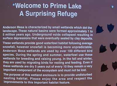 Prime Lake is a wildlife habitat. 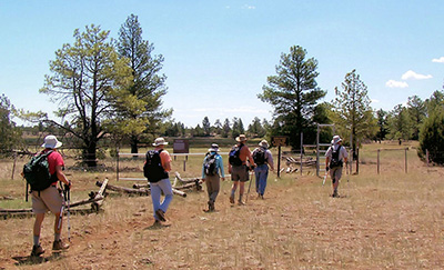 Passing Prime Lake on the Arizona Trail. [photo by Rob] Well, not so cool. When we got to Flagstaff the thermometer read 84° with a 20% chance of showers. Clouds started rolling in. So what are we going to do? Tough call. We had planned a one-way hike of 9½ miles. The leader could stay with the original plan and hope the weather cooperates, or substitute a shorter hike and keep us reasonably close to the trailhead, just in case. With the safety of the hikers in mind, Ted chose the latter. We started from Marshall Lake Trailhead and walked south on the Arizona Trail, passage 30. Marshall Lake looks more like a marsh than a lake. These lakes fill up with the melting snow, but then get dry in the summer. No swimming this time. The trail follows a dirt road along the southwest shore of Marshall Lake before starting a climb up to a higher part of Anderson Mesa. Soon we had left the road and were walking through the woods. |
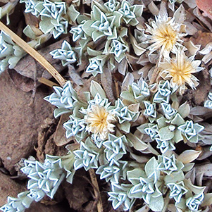
 Harmonic Dried Weed [photo by Rob] |
Emerging from the woods, we walked across grazing land to Lowell Observatory Trailhead. Lowell Observatory, founded by astronomer Percival Lowell in 1894, was moved from Mars Hill to Anderson Mesa when Flagstaff grew too big – and too bright – for the dark skies needed in astronomical observations. Only the Visitors’ Center remains in Flagstaff. The Navy Prototype Optical Interferometer (NPOI) for high-resolution astronomy occupies much of the site on Anderson Mesa. The Arizona Trail takes us right by it. |
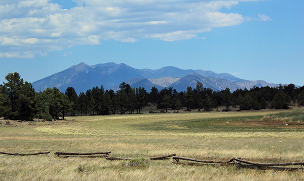 San Francisco Peaks rise majestically over Prime Lake on Anderson Mesa. |
|
Prime Lake (or is it Prim Lake, as named on the 1:100,000 USGS topographic map?) still has some water in it, with reeds and marshes favored by wildlife in the high country. With the lake on the left and the observatory on the right, we head south for a grand overview of upper Lake Mary. |
 Berberis haematocarpa – Red Barberry |
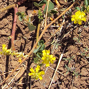
 Eriastrum diffusum – Miniature Wool Star |
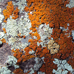 Texas “Hook ’em ’Horns” lichens. |
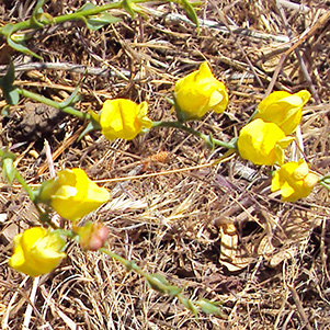
 Cassia covesii – Desert Senna |
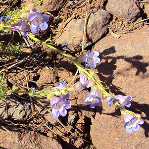
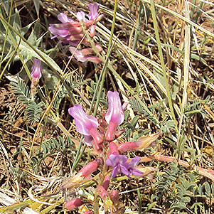 Astragalus cottamii – Astragalus |
 Antennaria rosulata – Kaibab Pussytoes |
|
We haven’t hiked far enough. After discussing various options we decide to walk back to Marshall Lake Trailhead and then consider extending the hike in the opposite direction. Clouds are rolling in. We stop for our picnic under a shade tree with logs for benches, then enjoy a leisurely walk northward on the trail. When we get back to Marshall Lake Trailhead the group divides. Those who want a longer hike will continue north to Sandy’s Canyon Trailhead on passage 31 of the Arizona Trail and then Sandy’s Canyon Trail. Ted appoints Bill as the deputy hike leader. |
 Trailblazers admire the Lake Mary overlook from the Arizona Trail. |
 Loopy |
 Hatley |
|
Marshall Lake to Sandy’s Canyon by Bill Zimmermann |
|
 Dave and Rob on passage 31 of the Arizona Trail. [photo by Bill] Bill and Quy headed for Sandy’s Canyon trailhead. Dave, Rob and Gary headed back for the cars. The trail did not follow the straight line as shown on Bill’s GPS. With Sandy’s Canyon trail in sight, Bill looked for a safe bushwhacking short cut. Found one. Took it. All five united at Sandy’s Canyon Trailhead before traveling Munds Park Country Club for a sandwich. The ride back encountered a considerable delay due to a semi-truck that overturned and skidded off I-17 near New River. |
|
|
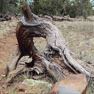
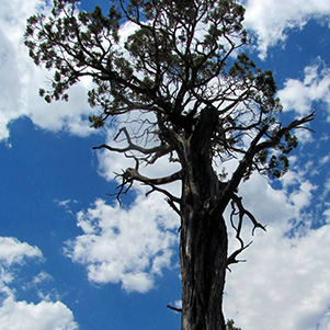
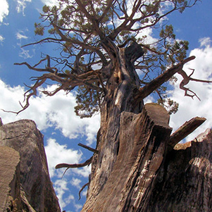
| [by Bill] A defiant tree still reaches for the sky. [by Rob] | |
 Top of Page
Arizona Trailblazers Hiking Club, Phoenix, Arizona
Comments? Send them to the AZHC .
updated July 24, 2019