Outdoor Links
Hike Arizona
Trip Planning Guide
Trip Report Index
Calendar of Events
Library
|
Slate Creek Day Hike Mazatzal Mountains May 18, 2011 by Bill Zimmermann |
|
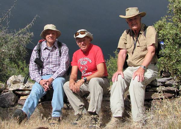 Andy, Bill, Dave |
|
Dave Andy and Bill left Wendy’s about 7:15 headed north in SR 87. Our exploratory trailhead was the tunnel turnaround “pull off” north of Mt Ord. |
|
|
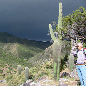
| Hmmm. Seems to be clouding up. But the prickly pears don’t mind. | |
|
The hike started under windy conditions and the threat of rain from dark skies. We followed the road until it entered Corral Creek. Failing to see where the road exited the creek, we crossed a fence line and bushwhacked our way toward a preprogrammed GPS heading “Z2”. We found the road. It was clear and easy as we followed a black watering pipe along side the road. |
 Looking eastward down the canyon. |
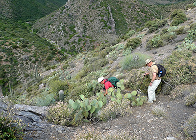 Heading down the north slope. 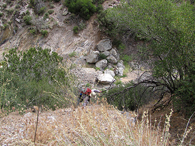 Andy and Dave up the south side. |
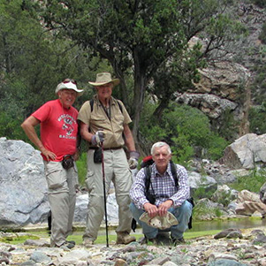
At “Z3” we turned off to follow a faint grassed-over road. We followed it to “Z4” were it seemed to fade away. We opted against the GPS and decided to hike up the hill to “P”. We posed for group picture sitting on what may have been Indian rock circle (notice the dark sky background). From their we walked to the edge where we just enough sun the catch some great views to the canyon. Canyon bottom was in sight and we could see road cut or trail on the south side. Rather than back tracking to find the road GPS point “Z5, we bushwhacked down the slope. Mistake. It was steep. It had loose rock. We connected with the road and followed it to “Z7”. It was overgrown but had a more enjoyable grade. From “Z7” we did not find the road going southwest as shown on the map. |
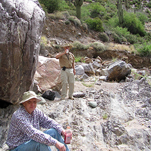 Time for a break by the boulders. |
 We found pools of water in Slate Creek. |
|
We walked the creek southeast to join another road we had seen previously. As we headed up we came across mine”M3”. Bill found a closed bottle (see photo). Mining claim? We continued on the road until it vanished. We stopped for lunch. Before returning we labeled our spot with pink ribbon. |
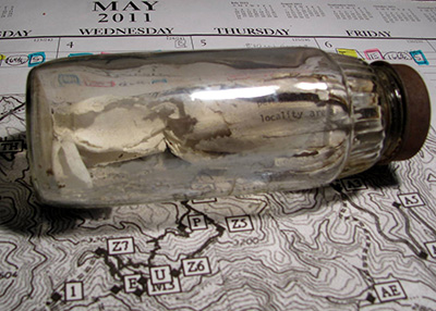 Was this a mining claim? |
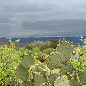
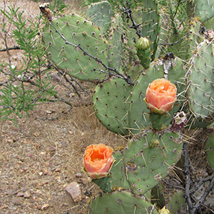 Prickly pear. |
 Mine #3. |
|
We returned to the creek bottom the hiked the road on the north side of the canyon to “Z5’. Bill spotted a pink and black Gila monster. It did not pose for the camera. |
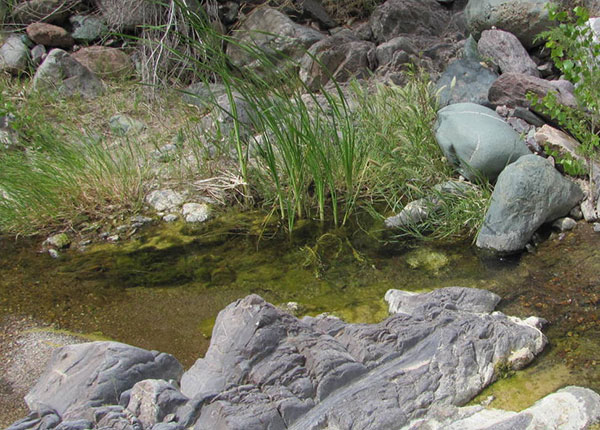 Andy finds tadpoles in Slate Creek. |
|
Back at the trailhead we part took in Dave home brew as the sprinkles turned to a steady rain. Mine sites 1,2,4 and 5 remain unvisited. Bill’s GPS recorded 4.2 miles, 1100 feet. |
 Top of Page
Arizona Trailblazers Hiking Club, Phoenix, Arizona
Comments? Send them to the AZHC .
updated December 20, 2015