
Outdoor Links
Hike Arizona
Trip Planning Guide
Trip Report Index
Calendar of Events
Library
Sedona
February 11, 2012
by Cyd Cassel
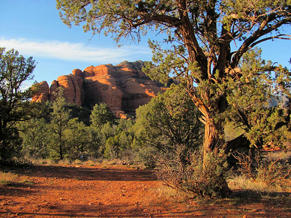 Loy Butte at Hancock Ranch. [photo by Bill Zimmermann] |
|
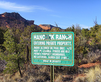
The driving directions...... When the road ended at Dogie Trail on FR525C, I had to accept the fact that the driving directions I had were wrong. For future reference, do not turn on to FR525C at the Y. Stay steady on FR525 after you exit Highway 89A and follow the signs to Loy Canyon. The webmaster of the site that includes those directions will be hearing from me. Having been to Loy Canyon many, many times in the past but not in the past few years, I was confident that my memory served me well and the directions were right. Well, my memory served me wrong. The sky was full of gray hanging clouds, just like the ones before it rains, as we made our bladder jogging trip on the rough road of FR525C. In the 45 minutes it took to make and correct my error the sun gods graciously burned off the clouds. Suddenly, all above was blue and all around us sunny. That was just the first of many gifts Mother Nature bestowed upon us that Saturday. The trail follows a fence line for Hancock Ranch for the first half- mile or so. At the trailhead, I reminded everyone that we would be hiking on private property for the first part of the hike and please remain mindful as we make our way on to public lands. |
 Walk in Beauty. |
 We want YOU to join us on a hike! |
|
Each hiker, as expected, set their own pace and embarked on their personal “Walk in the Woods”. Since our paces were not uniform, the distance between us was not conducive to getting everyone together for a group picture at the beginning. Bill found an interesting place where we all reconnoitered by the remains of an old tree. The tree, even though dead, had been manicured into an easily climbed wooden statue. With the group cheering him on, Ajay scurried up the tree so we could fit all of our hikers into the group picture which makes an interesting composition. Thanks Ajay! |
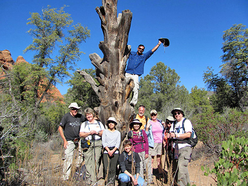 Unintentionally international [photo by Bill Zimmermann] |
| Bill, Cyd, Edith, Anikó, Quy, Garth, Lisa, Monika, Chuck, and Ajay (in the tree) |
|
During our introductions we discovered our group of 10 hikers represented Hungary, Canada, Vietnam, Germany, Mexico, India, and the United States. The unintentional, international group was ready to go hiking. Proceeding north on the trail, I pointed out some Indian ruins on the side of the canyon wall. While Ajay, Chuck, Monica, and I were admiring them, a helicopter circled around overhead so close to the rocks that we thought it was going to crash or land. Apparently, they were just getting a bird’s eye view of the ruins for a minute then went on their way. |
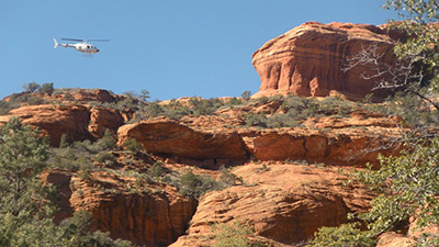 Someone got a bird’s eye view. [photos by Ajay Kak] 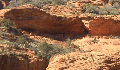 You wouldn’t notice these if you didn’t know they were there. |
|
The first mile and a half or so, the sandy trail makes for cumbersome walking. Ajay, Chuck, Monika, and I stopped for lunch around 12:30 at a shady spot right off the trail. |
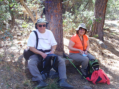 These rocks are just the right size to sit on for lunch. |
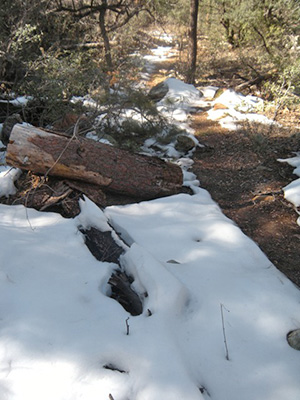 We sure didn’t expect to see this! [photo by Ajay] |
 Can you believe they brought cattle down this trail? |
|
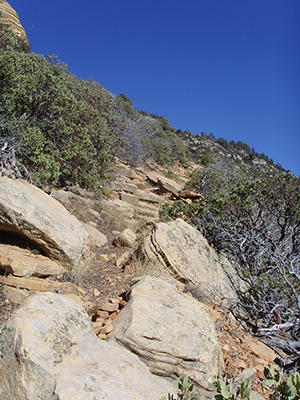
From there, the trail gets gradually steeper. Seeing fewer cacti, more Manzanita and oak, the difference in elevation was obvious. Originally scheduled for this past mid-December, the hike was cancelled due to impassable roads after a heavy winter storm that dumped well over a foot of snow in the area. Remaining evidence of the storm was on the ground as we gained elevation. All ten hikers chose to engage the switchbacks in order to enjoy the view of Loy Canyon below. As we started our thousand foot elevation push up the last mile in the switchbacks, we were glad to have stopped for lunch prior to doing so. The trail distinguishes the start of the switchbacks by offering a steep rocky climb of about 150 yards. Nothing about it can be considered or confused with gradual. It then explodes out of the shade and into full sun and wind as it turns back towards the south. For a short while, it deceptively rewards you with a place to catch your breath as Manzanita on the down side of the trail acts as a barrier to keep an unwary hiker on the trail should they stumble. You can see from the picture below that the climb was quite steep, anything but level, and required a lot of finesse. |
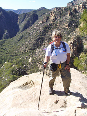 Cyd’s balancing act. [photo by Chuck Parsons] |
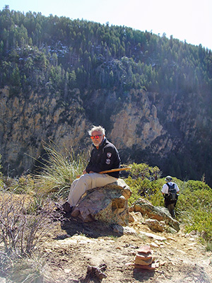 Gotta love those sunglasses! [photo by Cyd] |
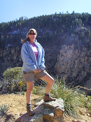 It sure is windy up here! [photo by Cyd] |
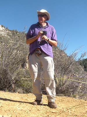 Are we there yet? [photo by Ajay Kak] |
|
The faster hikers went ahead at their preferred paces. Monika, keeping me company, and I were the last to join our group at a picturesque overlook of the canyon. Some of us decided to stop there and not continue to the saddle to enjoy the view and take pictures. Ajay, Quy, and Anikó charged on up the mountain, past the saddle, on to the Secret Mountain trailhead. |
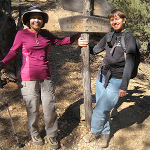 Will it fall if we let loose? [photo by Ajay Kak] |
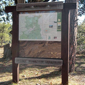 Secret Mountain Trailhead [photo by Ajay Kak] |
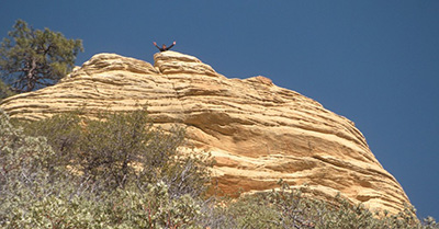 Who is that up there on the rock? [photo by Ajay Kak] 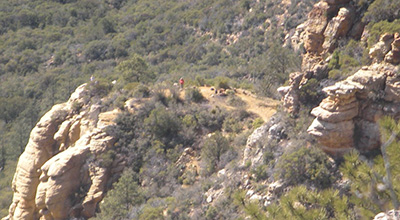 Can you hear me now? [photo by Ajay Kak] |
I still don’t know who this was that had quite a view from the bluff looking down on the rest of us. Anikó? Quy? Ajay? As quick as a roadrunner, the afternoon was slipping away. We decided it best to leave the sanctity of the wilderness behind and begrudgingly start our trek back to the vehicles. Granted, it was just a little bit easier going down but you still had to be careful. The footing is tricky on the switchbacks and one misstep could have nasty consequences. In spurts, we safely trickled back to the trailhead. |
|
Unfortunately, we missed the cutoff that would allow us to make it to the Old Town Red Rooster Café for dinner before their 4pm closing time. Old Town Red Rooster Café was awarded “Best in Phoenix” (even though they are in Cottonwood) so you can bet your lucky hiking sticks that I will make it there for dinner some time. |
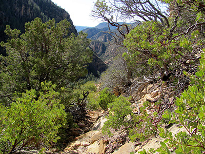 Easier going down than coming up! [photo by Bill Zimmermann] On the drive back to Phoenix, I couldn’t help but reflect on the day left behind. Even though there wasn’t as much snow on the trail as I had hoped, we all made it up and back down the mountain safely. As far as I’m concerned, it was one of those days that you hope will never end. |
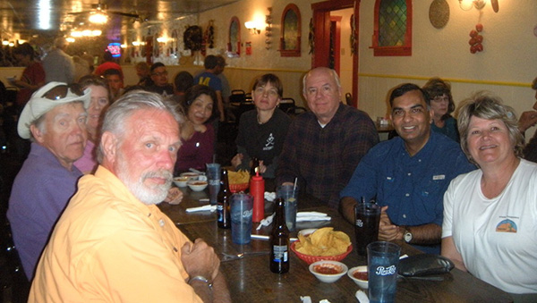 Hungry hikers at La Fonda [photo by our server] |
|
Thankful, that’s how I feel...thankful that I was blessed with the opportunity to lead this hike and have the company of these friends. |
 Top of Page
Arizona Trailblazers Hiking Club, Phoenix, Arizona
Comments? Send them to the AZHC .
updated October 14, 2019