Outdoor Links
Hike Arizona
Trip Planning Guide
Trip Report Index
Calendar of Events
Library
McDowell Sonoran Preserve
December 31, 2012
by Chuck Parsons
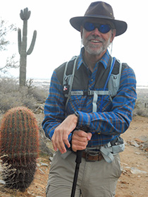
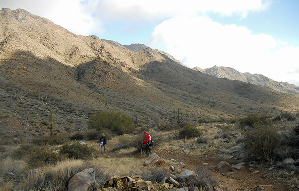
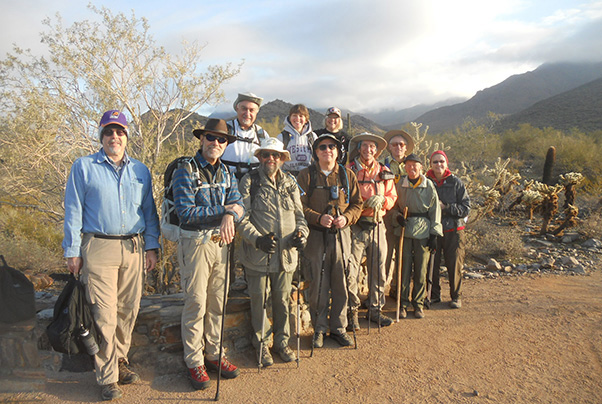 Trailblazers at the McDowell Sonoran Preserve. [photo by John] |
| Steve, Yesterday, John, Jim, Anikó, Chuck, Tammy, Peter, Mark, Betty, Dottie |
|
Neither rain, nor snow, nor sleet, nor hail. Shall keep the Arizona Trailblazers from their appointed trail. With the latest weather forecast calling for a 50% chance of showers up until 11:00 AM and a high of only 48 degrees, I’m thinking this may very well be our mantra for the day. And with all the wet and slippery rocks to navigate on this trail, if the rains become too serious this morning we might just have to postpone this hike for a week or so. But the skies are mostly blue when we all pull into the spacious and uncrowded Gateway Trailhead parking lot, with only scattered clouds on the horizon. The air temperature stands at a brisk 45 degrees. We do our usual round of introductions, and I pass out highlighted trail maps and carefully go over our route with everyone. With those preliminaries out of the way, we move out smartly and hit the trail at precisely 8:30 AM. Eleven charged-up Trailblazers are ready to do some serious hiking on this last day of 2012, and this is just the trail to accommodate that goal. |
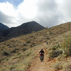
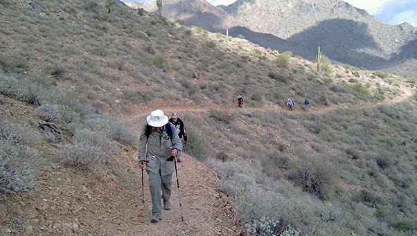 Trailblazers work their way up the Windgate Pass Trail. [photo by Steve] |
|
Today’s hike will be a 9.6 mile clockwise loop hike, with 1,484 feet of elevation gain, through the heart of the McDowell Sonoran Preserve. From the Gateway Trailhead we’ll start out on the short Saguaro Trail, link up with the Gateway Loop Trail and hike the north side of that to the Windgate Pass Trail, take that trail out to the junction with Bell Pass Trail, then hike that back to the south end of the Gateway Loop Trail and finally take that back to the Saguaro Trail which will take us back to the trailhead. |
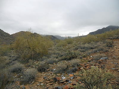 Clouds quickly move in and obscure the sun. [photo by John] With a chilling breeze and no sun to warm us, we have to keep moving to stay comfortable since the air temperature is still hovering stubbornly in the mid-40s. But since the trail is increasingly inclined in an upward direction that won’t be too difficult for us today. |
 The cloud cover soon drops low enough to cover the peaks and ridges. [photo by John] |
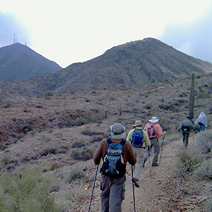
 Yesterday takes a short break on a section of level trail. [photo by John] |
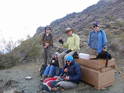
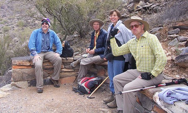 The vanguard – Steve, Peter, Anikó, and Mark – arrives first at Inspiration Viewpoint. [photo by Betty] |
 The full Trailblazers crew takes a well-deserved break at Inspiration Viewpoint. [photo by Betty] |
|
Inspiration Viewpoint is just under three miles in distance and 1,000 feet higher than Gateway Trailhead. The viewpoint marks the perfect spot to sit down on the provided rock benches and take a short rest and refueling break while we try our best to become inspired. But inspired or not, we eventually decide to pack up and move on before cold joints and limbs stiffen up on us. |
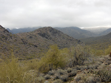
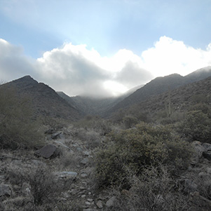 Rapidly moving clouds continue to play hide and seek with the surrounding peaks. [photo by John] |
 Clouds or fog? [photo by John] |
|
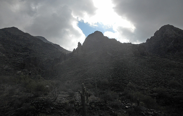
The weather continues to change rapidly throughout the morning, although the temperature holds steady in the mid to upper 40s range. Blue skies and sun briefly reappear from time to time, only to be obscured once again by thick, low-hanging cloud cover which looks almost like a misty fog bank shrouding the surrounding mountain peaks and ridges, as seen in these two images captured by John. This is something you certainly don’t see every day in the normally sunny and dry Sonoran Desert of southern Arizona. |
 Trailblazers begin the steady descent from Windgate Pass at 3,031 feet. [photo by John] |
|
We make another short stop at Windgate Pass to allow everyone to catch up with the group. From here the trail drops steadily for nearly 500 feet before leveling off once again near the Windgate Pass/Bell Pass trail junction. But we’ll soon have to pay the piper for this easy stretch of trail before we finally reach Bell Pass. |
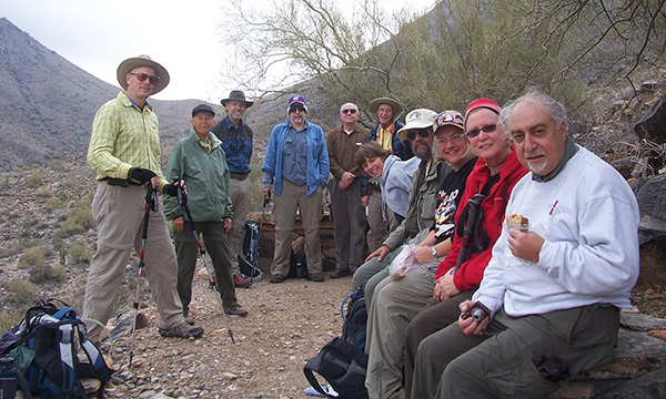
 Trailblazers hoof it up the Bell Pass Trail to Bell Pass. [photo by John] |
 Bristling with its antenna array, Thompson Peak rises in the distance. [photo by Steve] |
 Trailblazers bundle against the cold wind at Bell Pass. [photo by Betty] 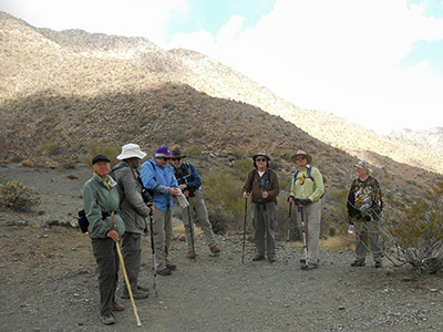 Standing on Bell Pass at 3,204 feet. [photo by John] We make one last rendezvous at the highest point on the loop trail – Bell Pass at 3,204 feet. It’s a steady grind from the junction of Windgate Pass and Bell Pass trails to this point, but from here on its downhill all the way back to the trailhead. I had originally planned on making this our last rest and refueling stop, but persistent wind gusts and a bone-chilling temperature of 42 degrees with no sun in sight dictate otherwise. As soon as all hikers make it to the pass, we change plans and start heading back down the trail in an attempt to get out of the wind and warm up a bit. With this constant wind and an air temperature of 42 degrees, the wind chill factor is now close to the freezing point or below. |
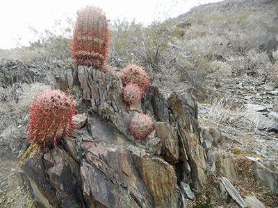 Where there’s a will, there’s always a way. [photo by John] It never ceases to amaze me how life, often in the face of seemingly insurmountable odds, somehow manages to find a way and narrowly hang on and survive in the natural world. No matter how fragile its existence or how hostile the surroundings, life will always find a way even if only by the slimmest of margins. |
 Dark, ominous storm clouds gather force over the mountains. [photo by John] |
|
Meanwhile, as we continue to make our way down the trail, the capricious cloud cover continues its mysterious and enchanting dance over the McDowell Mountains. |
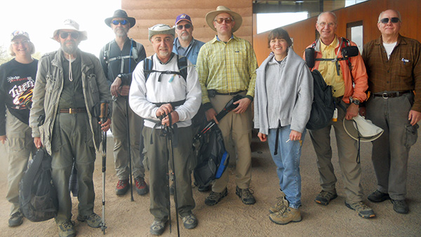 Post-hike Trailblazers raconteur back at the Gateway Trailhead. [photo by John] |
|
By 1:15 PM all eleven Trailblazers arrive safely back at the Gateway Trailhead. John has suffered a slight ankle sprain somewhere along the Bell Pass Trail, but bravely manages to limp back in to the trailhead under his own steam. John recently informed me that his ankle was tender for a couple of days but felt much better by Thursday and he hopes to make the hike on Saturday. Per Jim’s GPS readings, we’re a bit surprised to find the total elevation gain over the course of the full loop trail is actually 1,996 feet instead of 1,484 feet, which I had calculated earlier from the McDowell Sonoran Preserve Trails map using the elevation figures between the trailhead and Bell Pass. The GPS readings also showed, with a total stop time of 48 minutes, our average hiking speed was 2.4 miles per hour. Not bad considering nearly 2,000 feet of elevation gain. |
|
|
|
|
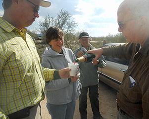
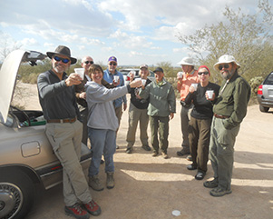
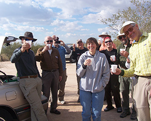
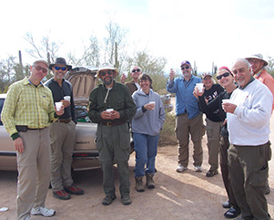
| Arizona Trailblazers toast in a brand new year, 2013. [photos by John and Betty] | |
|
After cleaning up and stowing away our hiking gear, we gather back in the parking lot and break out a couple of bottles of sparkling apple and grape juice and make a series of toasts to the New Year. |
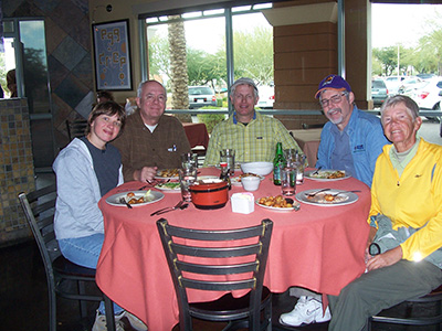 Anikó, Chuck, Mark, Steve, and Betty enjoy lunch at Flo’s Chinese Restaurant. [photo by Betty] After we finally run out of bubbly to toast in the New Year, six hikers decide to head for home while five of us drive a couple of miles down the road from the trailhead to Flo’s Chinese Restaurant. Flo’s is located in a large strip mall on the NE corner of Thompson Peak Parkway and Frank Lloyd Wright Boulevard. Steve recommended it and it was well worth the stop. |
 Top of Page
Arizona Trailblazers Hiking Club, Phoenix, Arizona
Comments? Send them to the AZHC .
updated May 30, 2020