
Outdoor Links
Hike Arizona
Trip Planning Guide
Trip Report Index
Calendar of Events
Library
McDowell Sonoran Preserve, Scottsdale
January 12, 2014
by Quy Nguyen
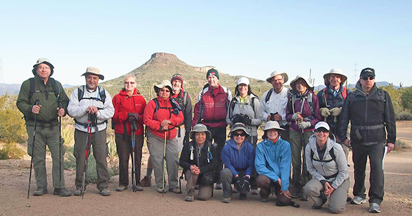 Fifteen Wonderful Trailblazers at Browns Ranch Trailhead. |
||||
|
||||
|
After a round of introductions, I hand out the zoom trail map so everyone will know the trail that we are supposed to hike today. Because we don’t have radios for communication, I require that all hikers stay together and wait for the group at any junction before making a turn. |
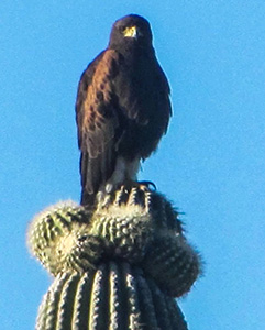 Harris Hawk. [photo by Wendy] The rock formations are similar to the Granite Mountain Loop Trail, but an added bonus is the many chollas all around. Maybe this is the reason it’s named the Cholla Mountain Loop Trail. At the post MV1 we turn left on Watershed Trail. Here we see some birds flying around the trail. We spot a big hawk on top of a tall saguaro. We continue hiking up to the Amphitheater Rock and take a break at this rock. Some sit and bask in the sun on a winter day while enjoying the surrounding view. |
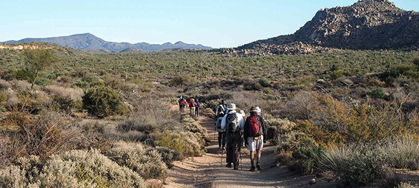 Hikers head out on the Browns Ranch Trail. |
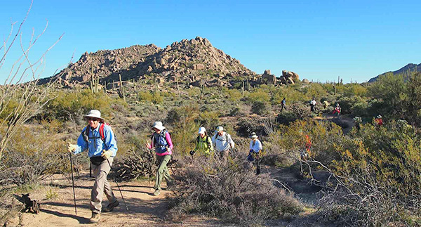 Trailblazers on the Maverick Trail. |
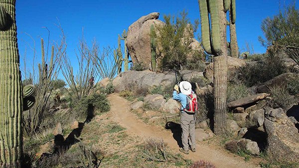 Peter tries to capture Bunny Rock. |
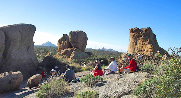 Hikers take a break at the Amphitheater Rock. |
 Photographer Dale. |
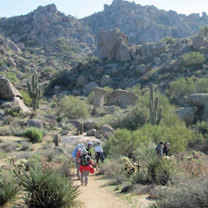 Wonderland of Rocks. [photo by Wendy] |
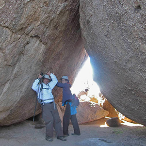 JR and Wendy push the boulder away. [photo by Wendy] |
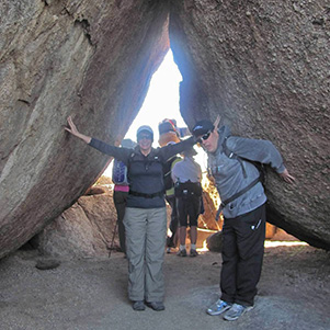 Jackie and Gary are holding up Cathedral Rock. [photo by Wendy] |
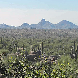 Pinnacle Peak from Cathedral Rock. [photo by Wendy] |
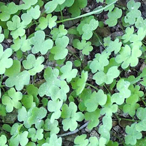 Shamrock in front of Cathedral Rock. |
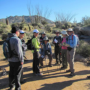 Assembling at the junction. [photo by Wendy] |
|
After a break we take a part of Cholla Loop Trail to Cathedral Rock, about 0.7 mile. At Cathedral Rock we see some big holes on granite rock on the ground. We guess they are evidence of the Native-Americans living here many years ago. We take a moment to imagine that these holes are used for grinding grain. There are also a few large patches of shamrocks on the ground in front of Cathedral Rock. After taking pictures, enjoying the beauty of this rock and amazing rock formations all around, we hike back to the trailhead by hiking Dry Gulch Trail 0.3 mile to Corral Trail, 0.7 miles. |
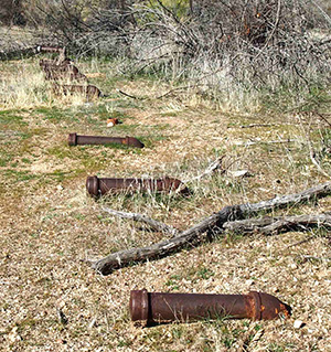 The remains of an irrigation system. |
At the junction of Corral Trail and Browns Ranch road, we stop to have a look at the remnants of Browns Ranch. According to Scottsdale History in Images, Browns Ranch, also known as the Upper Ranch, was a part of the sprawling, 44,000-acre DC Ranch. Browns Ranch cattle operation was established by E.O. Brown and partners in 1916 and later run by his son E.E. Brown and partners. A voter-approved initiative allowed the City of Scottsdale to buy much of the Upper Ranch land and add it to the McDowell Sonoran Preserve in 2000. Archaeologists surveying the site found evidence of human presence at least 8,000 years old, with Archaic, Hohokam and Yavapai people leaving traces of their use of the site as a seasonal hunting camp. |
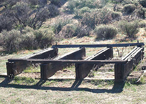 One of the remnants of Browns Ranch. |
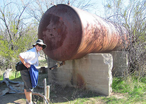 Linda is thirsty, but the well is dry. [by Wendy] |
|
After finishing our curiosity we take Browns Ranch Road to hike 1.3 miles back to the Browns Ranch trailhead. |
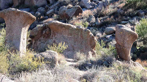 Some of the rocks stand up like chess pieces. |
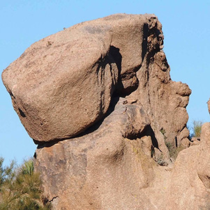 A rock with an attitude ... |
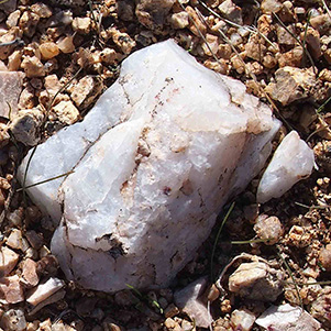 Where there’s quartz, there might be gold. |
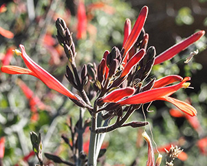 Beloperone. |
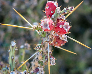 Christmas Cactus. |
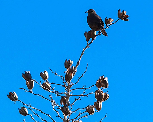 Little bird watches cautiously for the hawk. |
This is a great exercise hike to get marvelous views, see cacti, amazing
rock formations, and enjoy evidence of ancient desert cultures.
Thanks to all for coming to join my hike today.
Happy Trails!
|
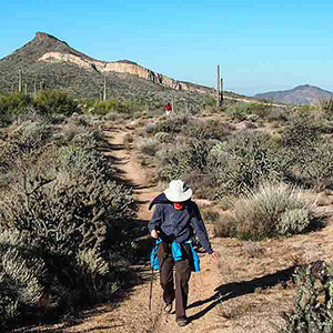 Wendy is on Dry Gulch Trail with Brown Mountain in the background. |
|||||||||||||||||||||
 Top of Page
Arizona Trailblazers Hiking Club, Phoenix, Arizona
Comments? Send them to the AZHC .
updated December 22, 2019