
Outdoor Links
Hike Arizona
Trip Planning Guide
Trip Report Index
Calendar of Events
Library
McDowell Sonoran Preserve, Scottsdale
January 1, 2014
by Quy Nguyen
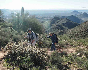
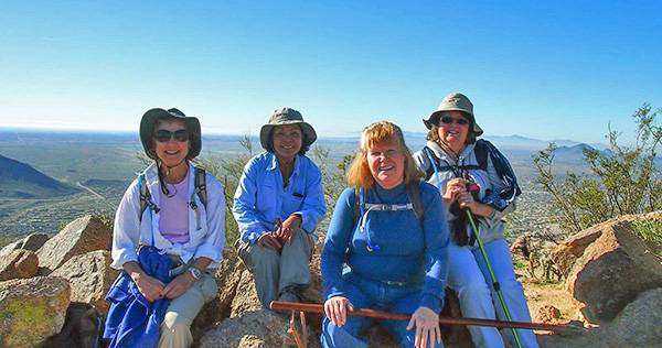 Linda, Quy, Ginny, and Monika, on top of the world [Sunrise Peak, anyway]. |
|
Stash two cars at the Lost Dog Wash Trailhead, then the four of us drive to Sunrise Trailhead located at the end of 145th street at the far east of Via Linda. We are so surprised that the trailhead full of cars in the early morning of New Year’s Day. We’re so lucky to get the one spot available. We know each other so well that we skip the round of introductions. |
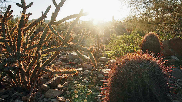 Cacti greet sunrise of the New Year. |
 Sunrise Peak, here we come! |
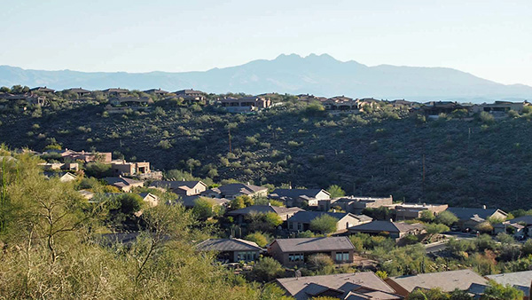 Residential neighborhood around the trailhead with Four Peak in the background. |
 Sextuplets Barrel cactus. |
 The great crested stone bird. |
|
One nice thing about this trail is all the junctions are signed and the entire trail is easy to follow. This trail is a gradual climb, considerably steep. It runs through a narrow canyon with many switchbacks. The trail is especially beautiful in the spring wildflower season, but even year-round, saguaro, ocotillo, barrel, palo verde, and spotty scrub grasses abound. Once in a while we turn around to enjoy increasingly interesting views of Scottsdale, Camelback Mountain, Piestewa Peak, and mountain vistas all around. |
 Saguaros and rocky spires reach for the sky. |
 Four Peaks dominate the eastern skyline. |
 Arch high in the rocks is a leaner. |
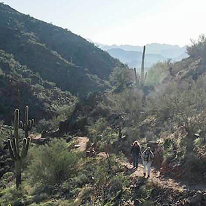 Linda and Monika find their way on the trail./ |
|
We reach a marked viewpoint at 1.2 miles (2,460'), past which the climbing intensifies in the upper canyon with improving views of the mountainous interior. |

|
|
| Onward and upward. Linda tries to record on her new GPS. | |
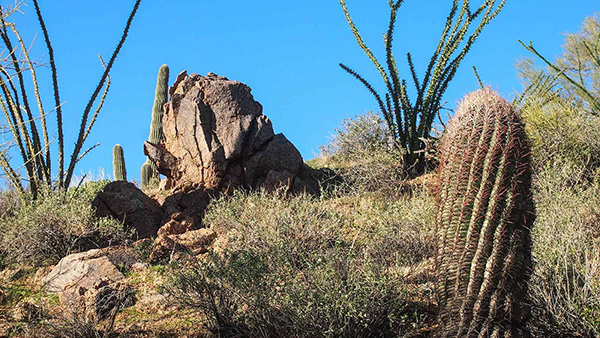 Nice arrangement. |
 Suburbia has come to the Sonoran Desert. |
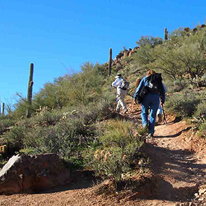 Determined, we hike 0.25 miles to the summit. |
The steep, tightly wound trail abruptly levels on a ridge just below the summit of the East Summit Access Spur (1.65 miles, 2,840'). The summit spur climbs to Sunrise Peak in just 0.25 miles (1.9 miles, 3,069'). The summit offers rangy panoramas including the Four Peaks, Superstitions, Fountain Hills, South Mountain, Camelback and neighboring peaks of the McDowell range. |
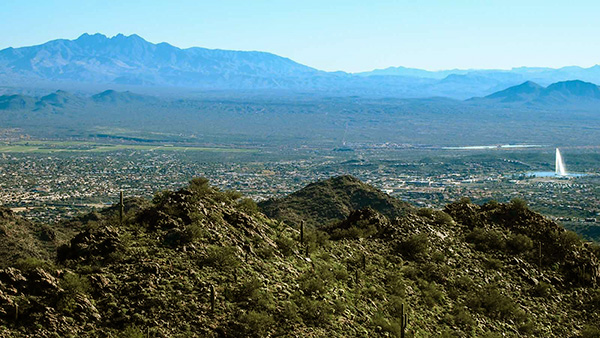 Four Peaks and the Fountain Hills town. |
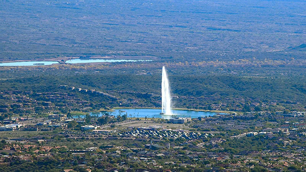 It swirls. |
|
We hike down toward the Lost Dog trail. This busy trail, with hikers and bikers, is steady going down with open pristine Sonoran Desert. |
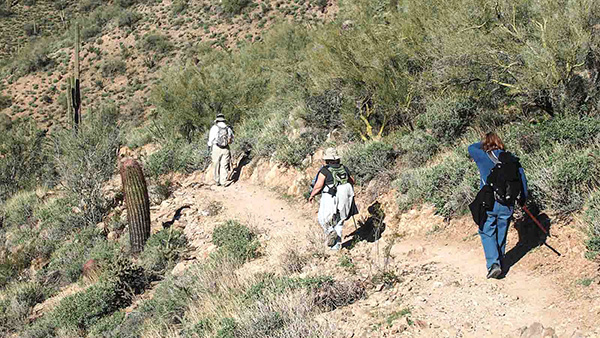 Hiking down toward Lost Dog Trailhead. |
 Keep going ... I can see civilization. |
|
We start at 8:45 AM and finish at 12:05 PM. According to the map, the hike is 5 miles and the elevation gain 1350 feet. |
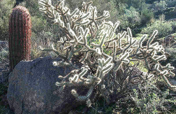 Barrel, rock, buckhorn. |
 Cacti of the Sonoran Desert. |
 Redhead family. |
 Packrat’s residence. |
 Garden, missing only saguaro. |
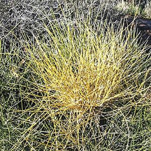 Mormon tea. |
 Beloperone. |
|
It’s great to start fresh in the New Near by hiking up the Sunrise Peak. Thanks to all for coming to join my hike today. Wishing you all the best of 2014. Happy Trails! |
 Top of Page
Arizona Trailblazers Hiking Club, Phoenix, Arizona
Comments? Send them to the AZHC .
updated October 28, 2017