Outdoor Links
Hike Arizona
Trip Planning Guide
Trip Report Index
Calendar of Events
Library
|
Sycamore Rim Loop Williams, AZ August 16, 2014 by Jim Buyens |
|
The first time I hiked the Sycamore Rim trail was on August 19, 2012. It was a great hike with great scenery but the highlight was a gorgeous, 100-foot, three-stage waterfall called Sycamore Falls.
Twice since then I’d been back but alas, the falls were dry. They’re fed by rain water and not by any permanent water source, and if the rains don’t flow neither does the waterfall.
Undaunted, I resolved to try once again in 2014, this time on August 14, almost the exact anniversary of that first great trip to the falls. That way, at the very least, I’d be in the right time of year.
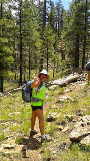
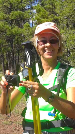
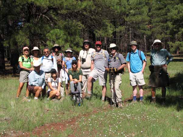 Karen, Heather, Rudy, George, Molly, Mechelle, Linda, Barbara, Michael, Sam, Gary, Lance, and Jim ready for a day of adventure! |
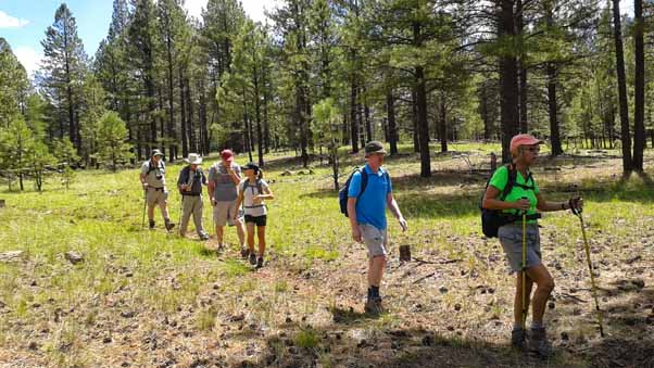
Thirteen of us made the attempt together, starting at 9:57 AM from the East Trailhead off Forest Road 56.
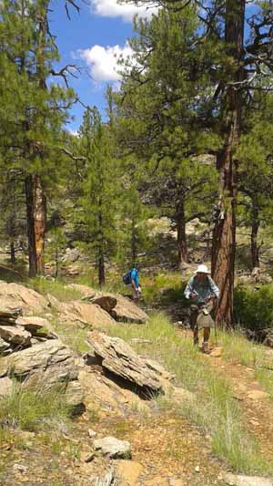
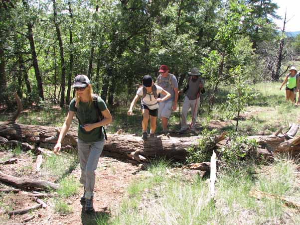
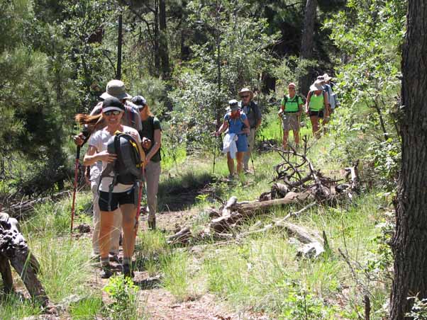 Molly, Mechelle, Barbara, Linda, Gary, Karen, Heather, Linda, and Gary begin the hike. |
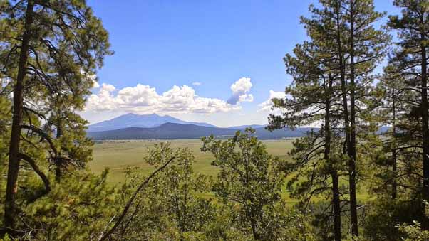
The route started as usual: first a flat warmup section and then a 600-foor climb up KA Hill. After reassembling at the high point we continued along the hill’s ridgeline. Being only six hundred feet above the surrounding meadow, there were no awe-inspiring vistas. The meadows themselves were beautiful, though, and we did gets some nice views of the San Francisco Peaks to the east.
 Mechelle pauses at the top of KA Hill [photo by Barbara] |
 Sam and Molly wait for the group to reassemble. [photo by Barbara] |
 An awesome view from the ridge atop KA Hill.[photo by Barbara] |
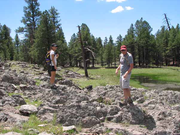
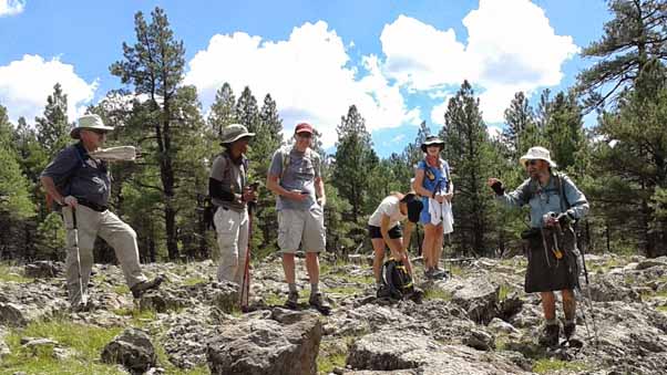
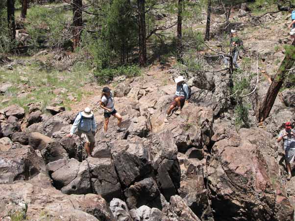
 Karen, Lance, Molly, Sam, Gary, and Michael make their way to the Pomeroy Tanks. [photo by Barbara] |
Anticipation rose as we progressed toward the Pomeroy Tanks. For one thing, we either missed a turn or the trail just wasn’t marked, and soon we found ourselves at a three-way unmarked intersection. After a bit of exploring and GPS-reading, however, we rediscovered the trail and got back underway.
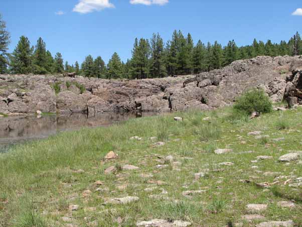
The Pomeroy Tanks are a natural series of ponds connected by (tada!) small waterfalls. Over the years the water has cut interesting formations into the surrounding rock and the area is actually quite scenic. But alas, while there was some standing water in some of the ponds, nothing was flowing. And unfortunately, this is the water flow that feeds the main falls.
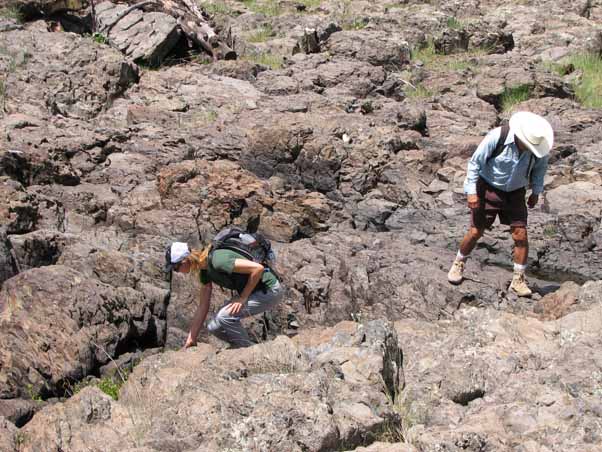 Barbara and Rudy explore the rocky start of the Pomeroy Tanks. This is occasionally a waterfall but on our day nothing was flowing. |
 Molly and Sam explore the rocky landscape. |
 Gary, Mechelle, Sam, Molly, Linda, and I enjoy the scenery.[photo by Barbara] |
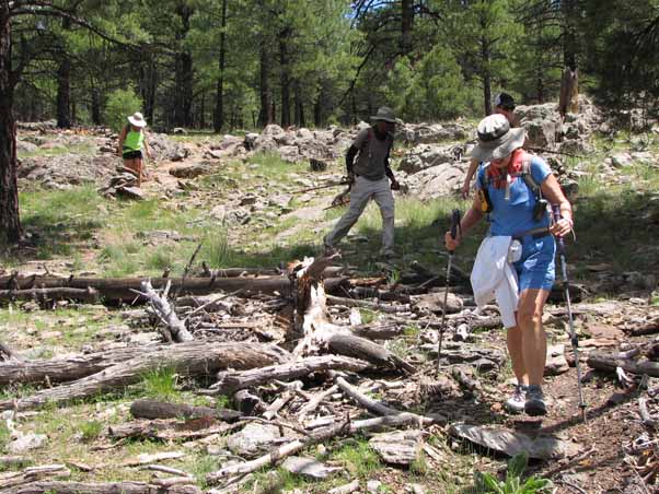 Linda, Barbara, Mechelle, and Heather negotiate some debris. |
 This tank contained water but nothing was flowing. |
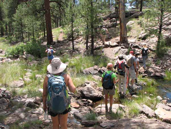 Heather, Linda, Karen, Mechelle, Sam, Molly, Barbara, and Michael cross a stream. |
 Heather stops to wave. "Hello!" |
 Jim and Lance enjoy the Pine forest. [photo by Barbara] |
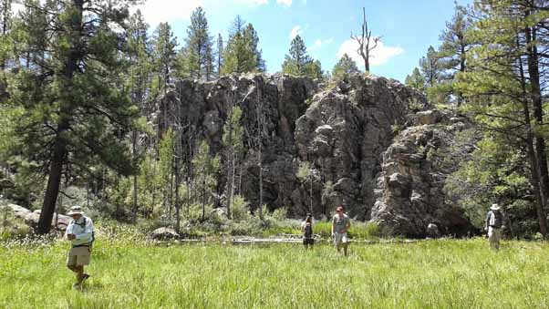 George, Molly, Sam, and Gary pass by the scenic cliffs. [photo by Barbara] |
 Sam and Molly enjoy the cool Arizona shoreline And yes, those are water lilies. [photo by Barbara] |
And sure enough, the falls were dry. What a disappointment! But the canyon is still a fantastic piece of scenery and a great place for lunch. I showed a few people videos of the falls when it was running but it just wasn’t the same.
 George, Molly, Rudy, Barbara, Lance, and Sam approach Sycamore Falls. But alas, it was a dry falls. |
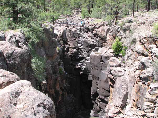 The falls itself is an imposing structure. That blue dot in the top center is Lance. |
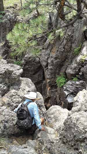 Rudy inches closer to the falls. Careful! [photo by Barbara] |
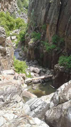 The canyon below the falls did contain some water.[photo by Barbara] |
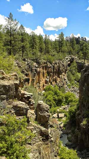 Rock climbers often scale the cliffs at the left.[photo by Barbara] |
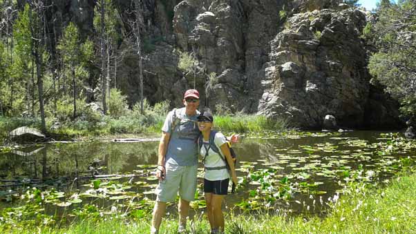
 I, Karen, and Linda stop for lunch near the falls. [photo by Barbara] |
 Here's another view of the canyon leading away from the falls. |
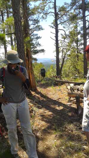
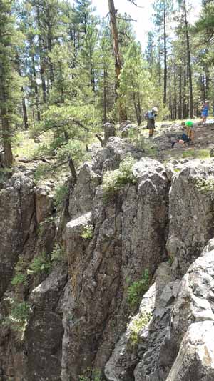
After lunch we continued our counterclockwise loop with a climb of about 300 feet. After that we hiked about three miles along the Sycamore Canyon rim. The trail here was generally level and featured great views of Sycamore Canyon if you left the trail and cautiously bypassed the brush south for a about 100 feet. There are several developed vistas as well.
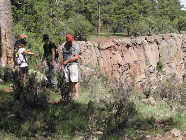
 Karen, Rudy, Lance, Barbara, Sam, Mechelle, Heather, and Michael start the loop back to the trailhead. |
 No obstacle stops Barbara, Molly, Sam, Mechelle, and Heather. |
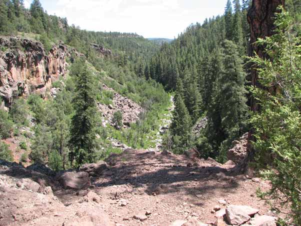
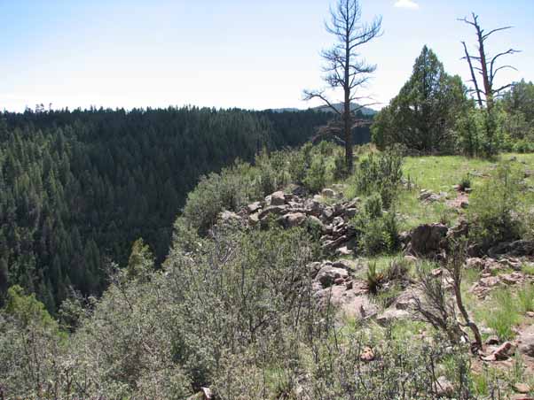 A view from the rim into Sycamore Canyon. The canyon continues for miles. |
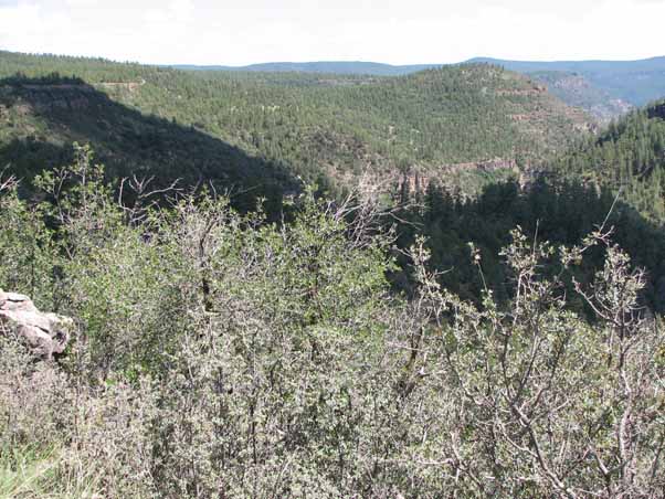 Another view of majestic Sycamore Canyon, It continues for miles in this direction as well. |
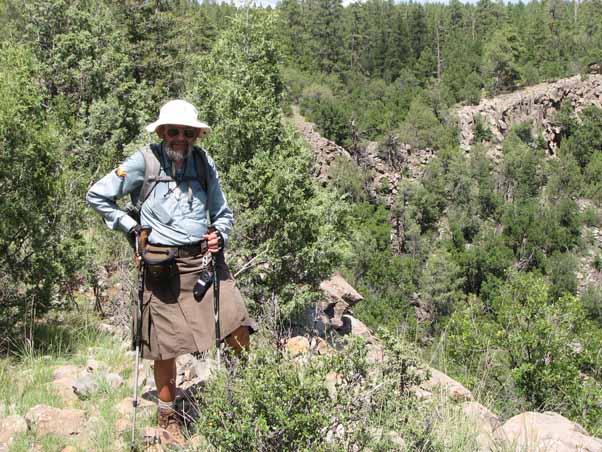 I stop for a photo near the canyon rim. |
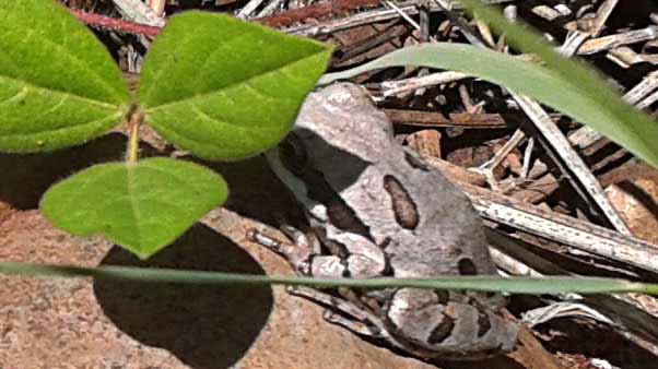 An agreeable frog pauses for a photo. We told him he might be on Animal Planet. [photo by Barbara] |
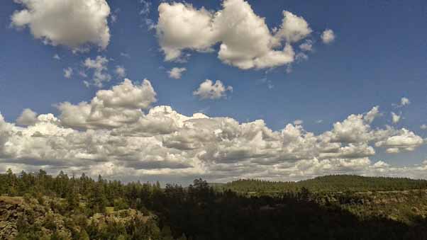 Beautiful clouds above the impression canyon. [photo by Barbara] |
 Karen, Molly, Barbara, and Sam stop along the rim for a better view. |
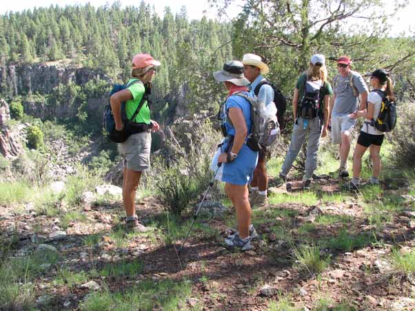 Karren, Linda, Rudy, Barbara, Sam, and Molly at Vista Point, a scenic outlook. |
 Heather encourages Sam not to jump. It's a long way down... |
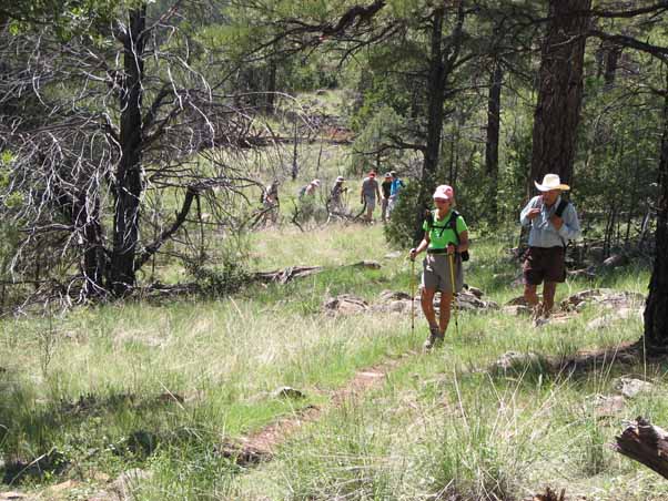
The last leg of the hike runs through cool forest. The terrain was sometimes flat and sometimes undulating. Along the way we passed a lily pond, the remains of two historic log cabins, and site of an historic sawmill. And then, the next thing we knew, were back at the trailhead.
 Karen prepares for a photo. [photo by Barbara] |
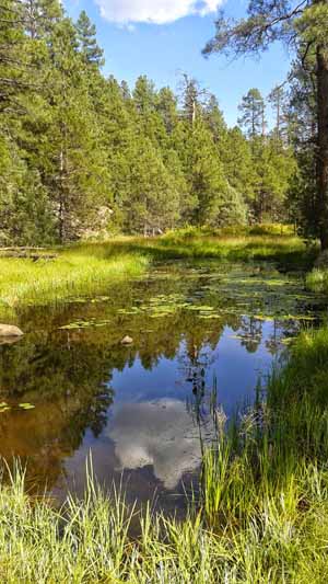 This lily pond is a rare treat in Arizona, even though the plants are technically invasive. [photo by Barbara] |
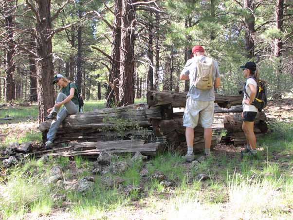 Barbara, Sam, and Molly stop to admire a one-time cabin near the Overland Trail junction. |
After the hike Karen suggested meeting in Williams at a bistro called the South Rims Wine & Beer Garage, located in Williams on Historic Route 66 eastbound. The décor was nice and included some very comfortable outdoor seating but the selection of beer, the selection of wines, and the food were only fair. The owner was a former Boing engineer who’d retired and started the restaurant, so hopefully he’ll keep trying and get it right. For us, of course, the main objective was our own company and in that we were completely successfully.
I still want to see those fall running again, though. Maybe next year ...
| Hike Statistics | ||
| Total Distance: | 12.6 | miles |
| Starting Time: | 9:57 | AM |
| Moving Time: | 5:44 | hrs:min |
| Stopped Time: | 0:52 | hrs:min |
| Duration: | 6:36 | hrs:min |
| Finishing Time: | 4:34 | PM |
| Avg. Speed Moving: | 2.2 | mph |
| Avg. Speed Overall: | 1.9 | mph |
| Starting Elevation: | 6,640 | ft |
| Minimum Elevation: | 6,378 | ft |
| Maximum Elevation: | 7,205 | ft |
| Total Ascent: | 1398 | ft |
| Calories: | 747 | |
| Starting Temperature: | 75 | ° |
| Finishing Temperature: | 83 | ° |
 Top of Page
Arizona Trailblazers Hiking Club, Phoenix, Arizona
Comments? Send them to the AZHC .
updated April 29, 2020