Outdoor Links
Hike Arizona
Trip Planning Guide
Trip Report Index
Calendar of Events
Library
|
Mail Trail #84 Day Hike Camp Verde October 24, 2015 by Scott Green |
|

|
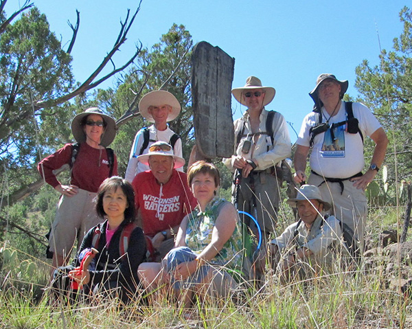
| Heather, Scott, Funyung, Michael, Bill, Ken, Gary, Carol. [photo by Bill] |
|
We, the mighty 8, per the precise directions of turning off the General Cook Trail (AZ 260) at MP 239.6 for FR 9247B, arrived at 8:30 in the dirt parking area with cool air and curiosity of the day ahead. After gathering, we started the day walking to the first of 156 cylindrical rock baskets which mark the majority of the whole trail to Fossil Springs which was beyond our plan for the day. Although the cairns were about three feet high and one foot diameter, most were not easily seen from one to another due to their spacing and tree/bush growth. We did well for the first 10 cairns by visually hopping from one to another but soon found ourselves off track. While off track, were rewarded with a view of two deer which we would not have seen otherwise. |
 This must be the way. [photo by Bill] |
 Heather, Funyung, Bill, Ken, Carol, Scott, Gary, Michael. [photo by Bill] |
 Good deal! We found another cairn. [photo by Funyung] |
 Heather and Funyung have it made in the shade. [photo by Bill] The ground was soft from the heavy rain earlier in the week but was covered mostly with softball-sized rocks. These balls of rocks made walking precarious and, for one of us, chafed an inflamed ankle due to a cactus needle from a previous hike. |
 Praying Mantis joins us on the hike. [photo by Bill] Some started lunch while others continued on the trail down the canyon where it eventually meets Fossil Creek Spring. We continued another half mile to where we could see the upper portion of the canyon, the green trees at the spring, and the Fossil Creek trail accessible from Strawberry on the other side. From here, we had completed 6.9 miles. |
 Fossil Creek is down there. Let’s take a break. [photo by Bill] |
 Towers of Power. [photo by Bill] |
|
Returning to the gate, we finished lunch and reversed our course through the gate, down the hill to near the water tank. From here we already had identified an alternate route back, bypassing the balls of rock, by following the powerline road and a forest road which ended at the parking lot. This turned out to be much easier and shorted the distance by a mile. Afterward, half of us returned to Phoenix while the other half reviewed the day’s accomplishment during a dinner meal. → See also: The Mail Trail. |
 Top of Page
Arizona Trailblazers Hiking Club, Phoenix, Arizona
Comments? Send them to the AZHC .
updated June 16, 2020