Outdoor Links
Hike Arizona
Trip Planning Guide
Trip Report Index
Calendar of Events
Library
|
Swing-Set Mine Day Hike Mazatzal Mountains November 21, 2015 by Bill Zimmermann |
|
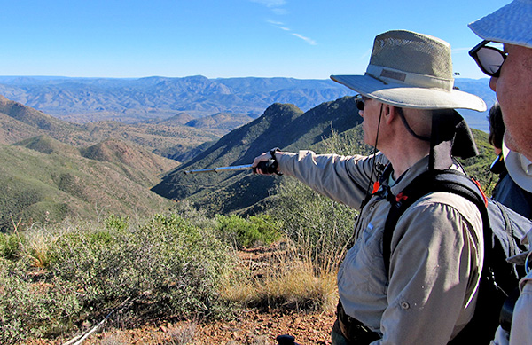
 Bill, Eileen, Dick, Robert, Arturo, Herm. Are you sure this project is shovel-ready? |
|
It is 10:30. Parents, do you know where you kids are? It is not PM this time. It is AM and 50 plus years later. Playing on a swing set. Uncertain of FR 177 condition, we took two high clearance vehicles. Low clearance would have been fine. |
 This is the way. |
 Are you sure about that? |
|
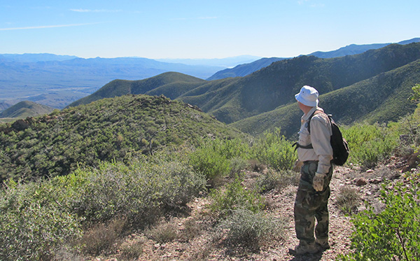
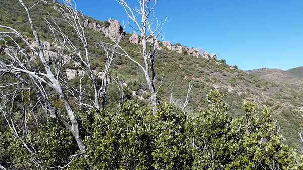
Under clear and windy skies six hikers booted-up and we were hiking by 8:15. We start on FR 191 that soon turns into a trail. The trail was somewhat overgrown but quite manageable with just one section of catclaw. The trail paralleled Gold Creek on the north. The time of year and day kept us in the shade formed by the mountain ridge to our south. We saw our first snow of the season as we started the switchbacks. At “TX2” we got our first glimpse of the sun. On our way to “TX3” we have great views of both Lion and Cane Spring Canyon. The road to the mine was loaded with manzanita to the point it was nearly undistinguishable. |
 We’re up in the high country. [photo by Eileen] |
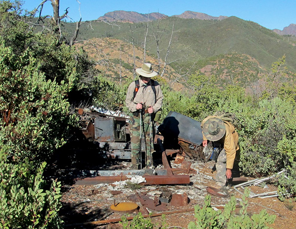 Not much left of the mine. |
|
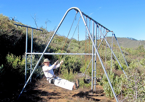
The mine pit was still open. One of the timbers had fallen in. After posing for picture with an extended shovel, we headed for the swing set. Hooray! It was still intact. The guys had to straighten the pumper. Judging by the scat it may have been bent by some elk. We enjoyed the swings and the climbing bar. Bill took the lead as park superintendent and with Robert and Eileen’s help cut down some of the manzanita that block the views. Ready for next time. |
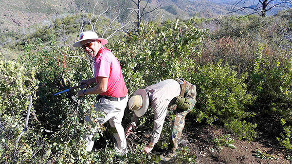 Hack! The manzanita! [photo by Eileen] |
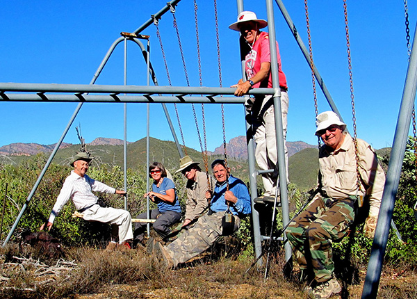 Let’s hear it for the swingin’ Trailblazers! |
 How high can you go, Herm? |
 Yes, we saw snow on the ground. |
 Oops! |
 Did you like to play on the monkey bars when you were a kid? [photo by Eileen] |
 Eileen shows us how it’s done. |
|
After lunch we enjoyed one last view of Roosevelt Lake before heading back down. At “03” we did a side trip down to the creek. It shows as FR 3322 on National Geographic Map 850. It was over grown and had a 5 foot drop to get into the creek. Bill and Robert explored and got some up close pictures of the sycamores in full orange that lined the banks of the creek. |
 Autumn color in the Mazatzals. |
 Time to head back to the trailhead. |
|
At 1:45 we were back at the vehicles. After saying our good byes we left for our 50-mile trip back to the valley. 9 miles, +-1930' elevation change. Thanks to Eileen for driving the second vehicle. |
 Top of Page
Arizona Trailblazers Hiking Club, Phoenix, Arizona
Comments? Send them to the AZHC .
updated December 14, 2016