Outdoor Links
Hike Arizona
Trip Planning Guide
Trip Report Index
Calendar of Events
Library
|
Turk’s Cap Hill Day Hike Superstition Wilderness January 8, 2015 by Andy Zaharchuk |
|
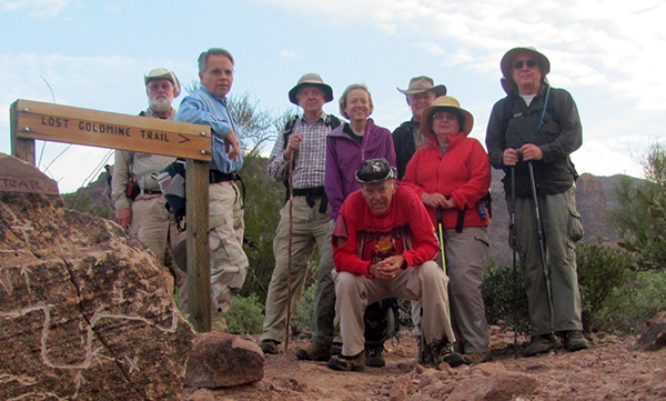 Trails diverge at the Lost Goldmine Trail boulder. [photo by Bill] Chip, Gary, Andy, Nancy, Bill, Dave, Monika, Chuck |
|
On January 8, 2015, at around 8:00 AM, our group of eight intrepid trailblazers convened at Cloudview Trailhead, and shortly thereafter headed out east along the Lost Goldmine Trail towards our destination – Turk’s Head, or Turk’s Cap, the latter as some prefer to call it. As all were in good hiking condition, our pace was rapid. On our left we soon passed the tall outcrop known as the Wedding Cake. After walking about two miles, we came to a primitive road just beyond a wash. There we turned left, and followed the road northward for a few hundred yards. We stopped just short of the Superstition Wilderness area boundary and looked for signs of the poorly-defined trail up to Turk’s. |
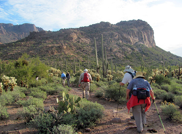 Lost Goldmine Trail gets us to the base of Turk’s Cap Hill. [photo by Bill] |
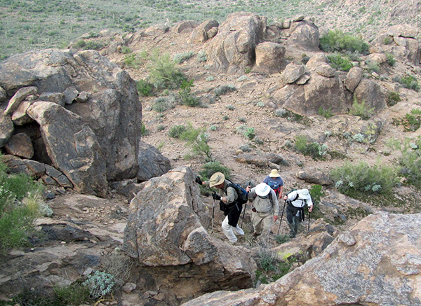 Watch your step on those rocks! [photo by Bill] |
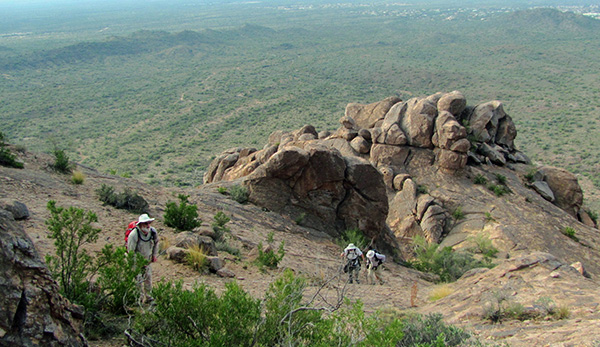 Our climb isn’t so steep once we get higher. [photo by Bill] |
|
We soon found the trail. Our ascent up the Turk’s went well, although the cairns along the way were frequently difficult to spot, because of being obscured by vegetation, and also because many of the cairns were small and not well placed. We all seemed to know the way, though, which was simply upward. |
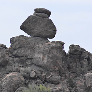 Delicately balanced rock. [photo by Dave] |
 Monika finds a comfortable boulder. [photo by Bill] |
|
On reaching the peak we rested, and we were treated to truly splendid views in all directions. Soon thereafter, we worked our way back down to the road. Once down, we decided to do some exploring and headed North along the wash, our destination being a large pile of boulders which from a distance appeared to have been a wall placed there by humans. We bushwhacked through some thick brush, up the wash and above and along the wash, to the large boulder pile. Once there, we all pretty much concluded that we were mistaken and that the boulders were arranged that way by nature and not placed there by man. We then had a brief “what’s next” discussion. Half of the group decided to return by the way we came, and the other half chose to return by bushwhacking west across the saddle to the north of the Wedding Cake outcrop. |
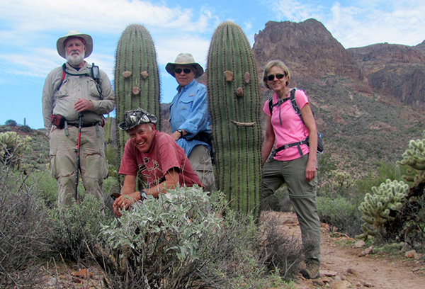 Fearless explorers of the high country: Chip, Bill, Gary, Nancy. [photo by Bill] |
|
Each group then went its way. For the remainder of the hike the groups were visible to each other from time to time, all the way back to the Cloudview Trailhead. The hike started in good weather few minutes after 8:00 AM, and one group was back at the trailhead at 1:00 PM as planned. The second “bushwhack” group arrived a few minutes later. The total distance was approximately 6.8 miles. It was a good hike with a good group of hikers. My thanks to Bill and Dave for the photos. |
 Top of Page
Arizona Trailblazers Hiking Club, Phoenix, Arizona
Comments? Send them to the AZHC .
updated April 4, 2019