Outdoor Links
Hike Arizona
Trip Planning Guide
Trip Report Index
Calendar of Events
Library
|
Bluff Spring Loop Day Hike Superstition Mountains March 20, 2010 by Ted Tenny |
|
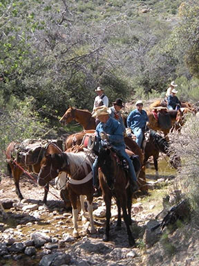
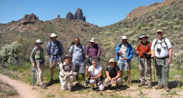 Trailblazers near Williams Camp on a bright day. [photo by Ajay] |
|
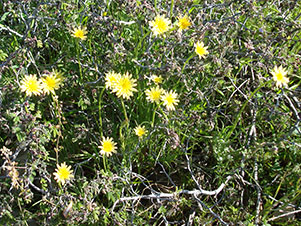
The day couldn’t be prettier as we set out from Peralta Trailhead. Hike leader Michael Humphrey takes us east and then north on the Dutchman’s Trail. We pass over some low foothills and walk down into Coffee Flat for the next mile or so. The Dons Trail coming in from the left is somewhat overgrown, but we can clearly see the abandoned road branching off to the right on its way to the Quarter Circle U Ranch. The desert is green! There’s water flowing in Barks Canyon and its tributaries. Some of the spring flowers are out, but the rains came late this year so we may not see many of them. We look across Coffee Flat to the rancher’s cabin and ahead to Miners Needle, Cathedral Rock, and the Red Tanks. Soon we reach Miners Canyon, at the base of the needle, where the Coffee Flat connector trail branches off to the east toward Dripping Spring. |
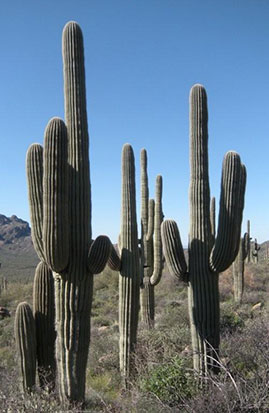
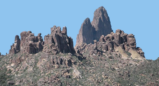
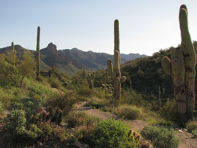 Saguaros stand watch before Miners Needle. [photo by Jenni] 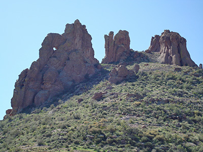 Miners Needle has an intricate composite structure. [photo by Ted] |
|
|
| Hoodoos and saguaros reach for the sky. [photos by Ajay] | |
|
|
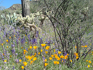
| The Superstitions, robed in the blooming garb of spring. [photos by Ted] | |
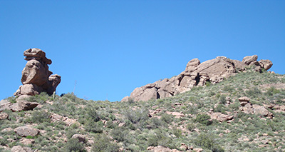 The duck and the turtle show the way to Miners Summit. [by Ted] |
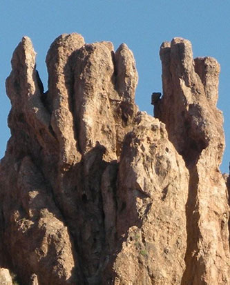
The rocks are intricate. After meandering for a while the trail takes us to Miners Summit on a long climb with a zigzag. By now the hikers have gotten spread out along the trail. At Miners Summit we re-convene. Michael says to go north on the Dutchman’s Trail instead of east on the Whiskey Spring Trail. |
|
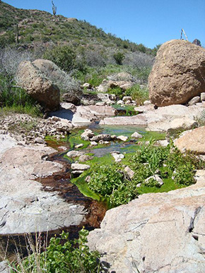
All day we’ve been meeting hikers, backpackers, and equestrians. When we stop for lunch at Crystal Spring some folks ride by on horses with other horses carrying equipment for trail maintenance. At Crystal Spring we leave the Dutchman’s Trail and head west on the Bluff Springs Trail. Brush has been cleared away from the sign, so today it’s easy to follow. Water is freely flowing in Bluff Spring Canyon. The trail takes us upstream, westward to a pass with a gorgeous view of Weaver’s Needle, a triple volcanic plug. On his deathbed Jacob Waltz mentioned something about where Weaver’s Needle casts its shadow at 4:00 in the afternoon. “But the sun is in a different part of the sky every day of the year at 4:00,” Ted reminds us as we look up at the mine prospects on Bluff Spring Mountain. |
 The cavalry arrived, just in time! [photo by Ajay] |
|
|
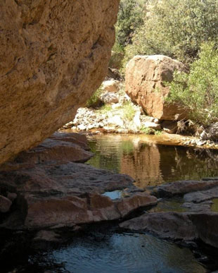
| Life-giving water from Bluff Springs. [photos by Ajay and by Eileen] | |
 Trailblazers find cushioned rocks. [photo by Eileen] 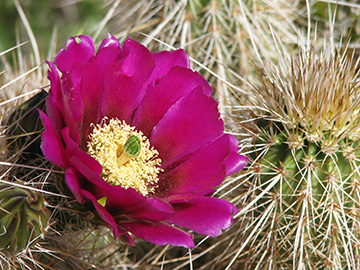 It’s a bloomin’ hedgehog! [photo by Jenni] |
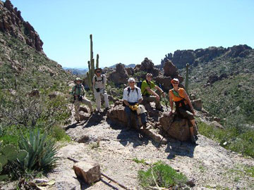
We pause for a group picture at the pass. It’s near the site of Williams Camp, a mining camp built a century ago. It once had a row of cabins, long gone now. There are hikers on the Terrapin Trail as we turn south and follow a rocky, scenic tributary of Barks Canyon. Navigation is tricky in this area. There are false trails leading off in both directions. The secret of success is to continue south until you cross Barks Canyon, then follow the trail diagonally uphill on the other side. You can see it. The last mile takes us on a ridge that leads to Geronimo Cave. But today we’re not taking the Cave Trail, so we continue south. At last we can see the parking lot far below. They’ve re-routed the Bluff Springs Trail to keep hikers from taking the Dons Trail by mistake. Everyone who brought walking sticks is glad to have them as we make our last steep, rocky descent back to Peralta Trailhead. |
 4553' Weaver’s Needle is a volcanic plug of the Miocene epoch. [photo by Ajay] |
 Top of Page
Arizona Trailblazers Hiking Club, Phoenix, Arizona
Comments? Send them to the AZHC .
updated November 18, 2019