Outdoor Links
Hike Arizona
Trip Planning Guide
Trip Report Index
Calendar of Events
Library
|
Tortilla Ranch Hike Superstitions November 17, 2024 by Michael Humphrey |
|
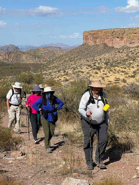
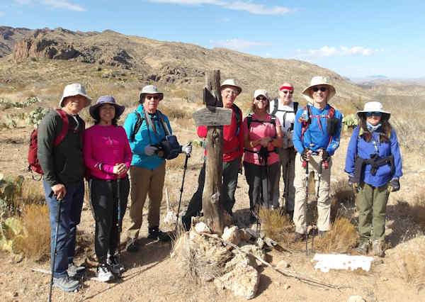 Trailblazers are ready to brave the Superstitions. [photo by Michael] |
| Jon, Haug, Ron, Kevin, Terri, Mike, Tom, Rebecca. |
Nine persons decided to hike in the Superstitions on this National Hike day. The weather was great cold in the morning, but grtting to perfect hiking waether by afternoon. Some clouds, but plenty of sun for pictures. This hike starts at the Tortillatrailhead off AZ-88. Car can make to here, but after you get to the top of the hill ADOT says 4-WD. AZ-88 is always rough, so be careful driving on this dirt road. There is an old road uns from AZ-88 to the old ranch. If you get past the first quarter mile, even a car can drive this old road. The first quarter mile has a few spare auto parts and oil from where persons did not clear the rocks.
 Great views. [photo by Kevin] |
 On the road again. [photo by Tom] |
 Weather station at the edge of the wilderness. [photo by Tom] |
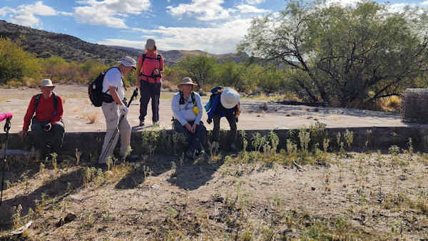
This road runs for about 3 miles to the old foundation of Tortilla Ranch. The government bought them out years ago. We take a rest here, this is also where the Peters trail we come back on ends. The road continues on to the old site of a windmill. It is now gone, but the water tank is still there. We continue on into the wilderness and the JF trail. This trail runs all the way past Dripping Springs to the JF ranch house. The government uses the JF house to stage operation into the Superstitions.
 Old ranch. [photo by Kevin] |
 JF trail. [photo by Kevin] |
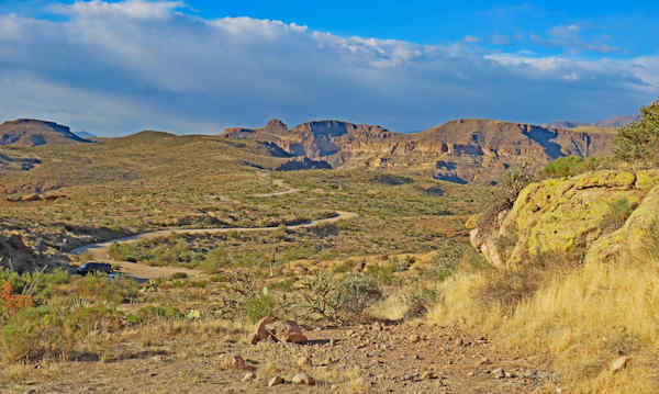
 Tortilla Ranch valley. [photo by Ron] |
 In to the wilderness. [photo by Ron] |
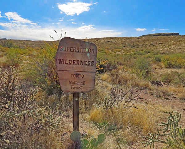
We continue on to the junction with Hoolie Bacon. We did not bring our skillets so no cooked bacon today. I had the GPS location of this junction loaded, because I did not know if the fires had burned the sign. If you do not know the area, this is a bad junction. The Hoolie Bacon goes straight from here, but the main trail of JF make a left hand turn. Hoolie Bacon goes south, while JF goes east. Pick the wrong trail and you will be 10s of miles off course.
 Sign still here. [photo by Ron] |
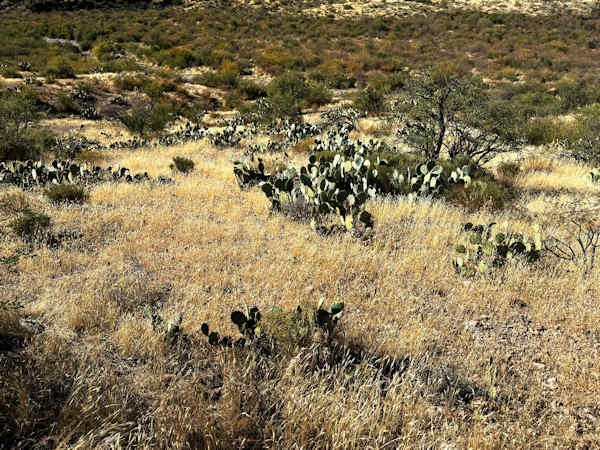 Plenty of great views. [photo by Tom] |
 Marching along. [photo by Kevin] |
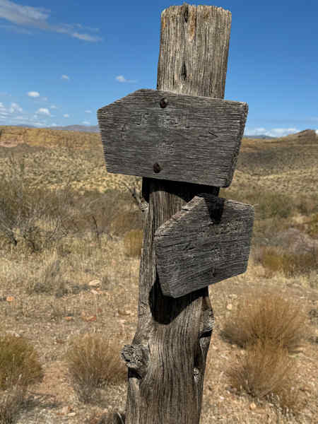 Signs are almost weathered to blanks. [photo by Kevin] |
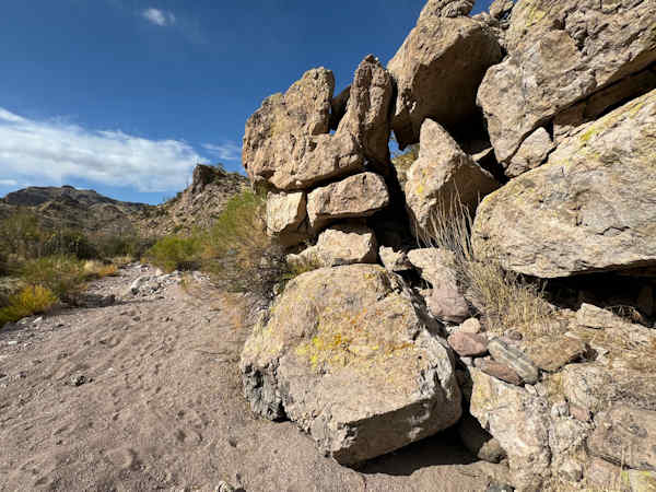
We are on Hoolie Bacon until we get to Tortilla creek. It is not flowing at this time. It is now time to go off trail and back to the ranch. The cat claw will get a small donation of blood. Tortilla creek for long sections walk just like a trail. Other sections are a boulder hop. As we make our way down the canyon, just before we meet up with the Peters trail there is a giant boulder that fell off the cliff and made an arch. We get on the Peters trail now and make good time to the old water tank. The water tank has a few holes in it now. We have had enough of the off trail, so we take the road back. On the way back the road seems longer, but we get to the cars. This was a great hike and we were the only ones out here.
 Getting to Tortilla creek. [photo by Kevin] |
 Easy walking in Tortilla creek. [photo by Kevin] |
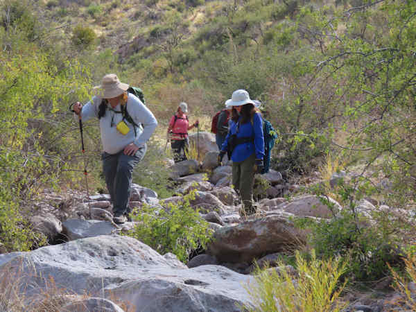 More fun walking in Tortilla creek. [photo by Ron] |
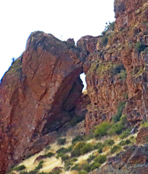 Rock arch. [photo by Ron] |
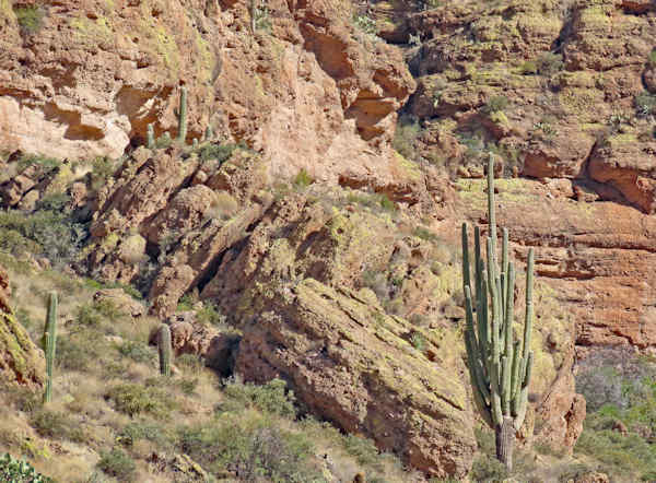 Very old saguaro. [photo by Ron] |
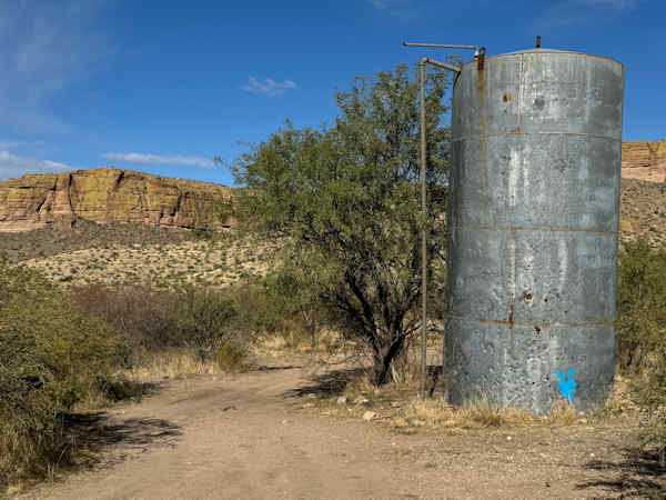 Old Water tank. [photo by Kevin] |
 Almost back to the cars. [photo by Ron] |
→ More pictures, by Ron.
→ More pictures, by Tom.
→ More pictures, by Kevin.
 Top of Page
Arizona Trailblazers Hiking Club, Phoenix, Arizona updated December 13, 2024
Comments? Send them to the AZHC .