Outdoor Links
Hike Arizona
Trip Planning Guide
Trip Report Index
Calendar of Events
Library
|
East Clear Creek Day Hike Mogollon Rim September 15, 2013 by Bill Zimmermann |
|
 Chuck, Karolyn, Donna, George, Bill, Michael, Eileen, Rudy, Nancy, Andy, Anikó |
|
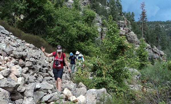
Trailblazers welcome Donna and Karolyn’s first hike with us. Nine hikers left the valley in two cars about 6:30. We met Rudy and George at the Ranger Station off SR87. We followed FR95 east until we turned left on FR513. After a short distance we parked the vehicles. By 9:00 am we were shoed-up and hiking under clear skies. |
 Bill knows the way. [photo by Eileen] |
|
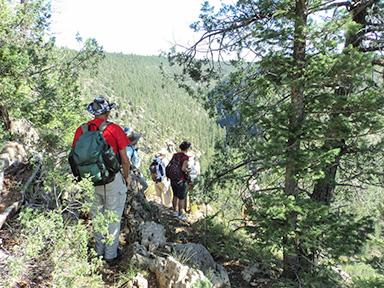
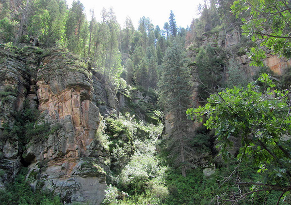
After a short bushwhack through the woods we came across an unlabeled road at “Z3” We followed the road to the official trailhead at “TH”. The trail #19 follows a ridgeline with scenic views of the canyon to the north and to the south as we headed down to the crossing at “KC”. |
|
|
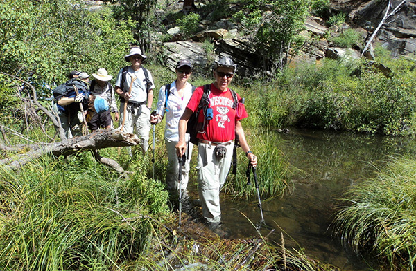
| Wet feet, and more. | |
|
I have no knowledge as to the naming of the crossing. However I can share some specifics as to the crossing points. There are two routes up to the ridge on the east side. “U” is a steep animal trail. The official trail starts at “U2”. Neither route is close to the dashed line appearing on National Geographic TOPO software. The write-up stated, “Plan for wet feet and maybe more.” — and it was. |
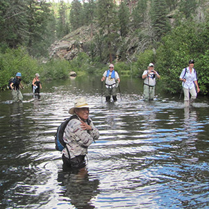
 We have a pool to cross. [photo by Michael] |
 Rudy keeps his hat dry. [photo by Eileen] |
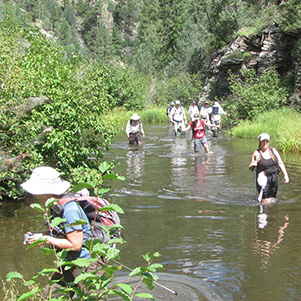
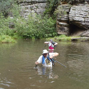
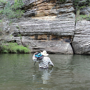
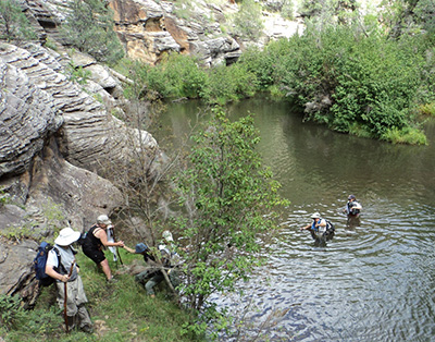 Made it across. [photo by Eileen] At “RB” we found out first Orange Ribbon. Someone else had done the route. Following the ribbons reduced the amount of dead-end backtracking. Under partly cloudy skies we had lunch break at “L”. We continued on until we lost site of ribbon at “P”, the deep pool. Rudy led the way as the rest of us bagged up the phones and cameras and thing else we did not want to get wet. It was over waist deep, depending on how tall you were or where you stepped. |
 North canyon view. [photo by Eileen] |
 What trail? [photo by Eileen] |
 Watch your step on those rocks! [photo by Eileen] |
 A shaft of sunlight brightens the deep woods. |
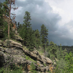 There’s a storm coming. |
 The rain gave us a warm, wet hike. |
|
Partly cloudy soon became party sunny with thunder music. Not sure if we had less crossing from this point on as the focus was on picking up the pace as the skies darkened. Did not make it. At “R’ the heavens let loose with pouring rain. |
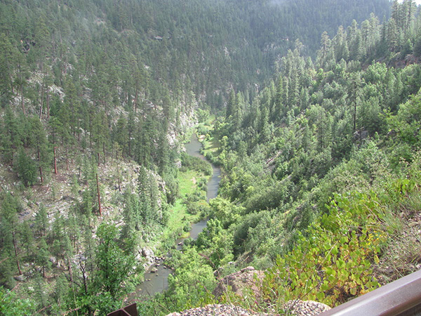 Looking back on East Clear Creek. |
|
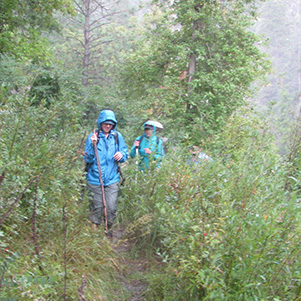
Short cutting our way to the road was out of the question as the rocks looked too slippery. It poured to the bridge and the first half mile up the road. The rats were soaked. No interest in bushwhacking our way back to the cars. Back at the cars for most getting warm and dry took preference over a cold beer. The car heat was on full blast as we drove to Pine Brewery for dinner. |
 Trailblazers enjoying dinner at the Pine Brewery. 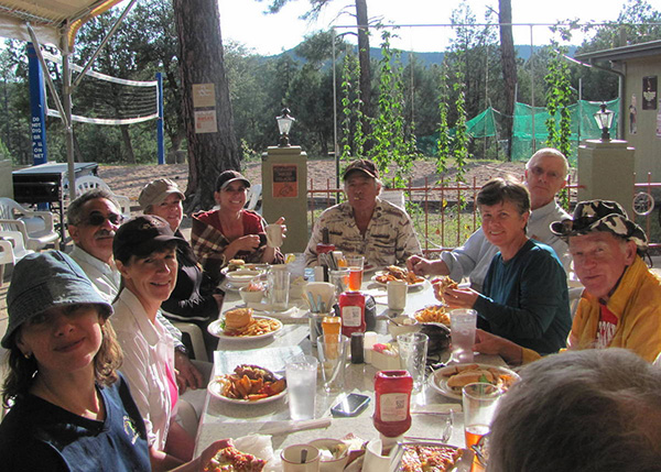
|
|
Karolyn took advantage of Bill’s blanket as we waited for our meals. The sun came out as the food was served. Soon we were warm on the inside and outside. |
 Top of Page
Arizona Trailblazers Hiking Club, Phoenix, Arizona
Comments? Send them to the AZHC .
updated August 27, 2016