Outdoor Links
Hike Arizona
Trip Planning Guide
Trip Report Index
Calendar of Events
Library
|
Spur Cross Ranch Conservation Area Cave Creek April 13, 2013 by Jim Buyens |
|
|
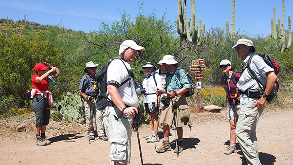
On a beautiful Saturday morning eleven Trailblazers set out to explore the Spur Cross Ranch Conservation Area, the newest addition to the Maricopa County Regional Parks System. This area encompasses 2,154 acres of typical Sonoran landscape except where Cave Creek (the waterway, and not the town or the road) passes through. The creek runs most of the year and supports a variety of water-hungry plants and wildlife near its banks. But recent spring rains had left their mark as well, and we truly experienced the proverbial. “Desert in bloom.” |
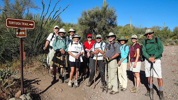 Michael, Jim Buyens, Ned, BJ, Becky, Jim J, Gary, Gabrielle, Anikó, Vern [photos by Quy] |
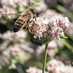 Mojave Buckwheat |
 Globe Chamomile |
 Desert Chicory |
 Christmas Cholla |
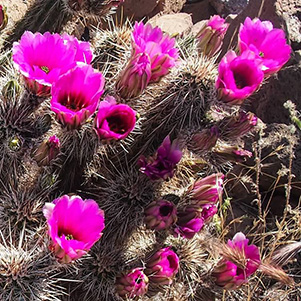 Hedgehog Cacti |
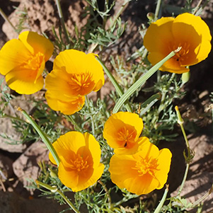 Mexican Poppy |
 Spiny Goldenwee |
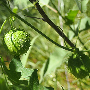 Wild Cucumber |
|
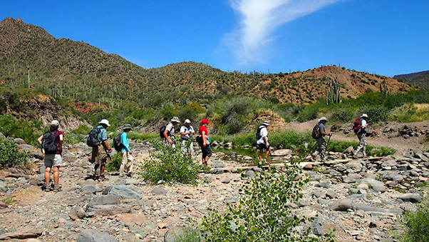
The best views of the creek and its nearby vegetation are on Metate trail, and the original plan was to tackle that first. But because the predicted high temperature that day was ninety degrees, the consensus was to tackle the Metate last and take advantage of cooler temperature from the shade and creek. And so we began with the Spur Cross trail, which traverses most of the park. |
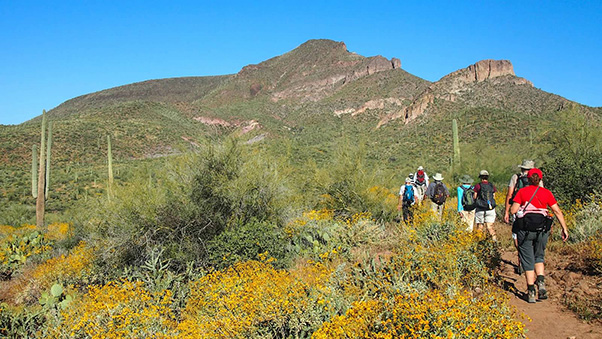 The wildly colored plant life was a welcome change from the usual Sonoran landscape. |
|
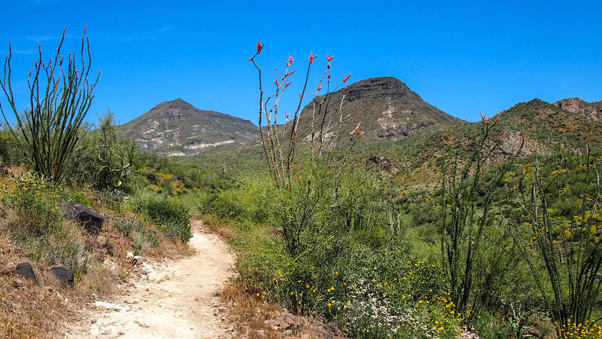
The trail was hilly but ran half way up the mountains for about four miles. That altitude provided a fantastic view of the desert plant life in bloom. Eventually, though we reached the western border of the conservation area and stopped for a snack. |
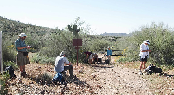 This gate marks the western border of the Spur Cross Ranch Conservation Area. |
|
The Spur Ross Trail connects Tonto National Forest along its north edge to state trust land on the west. It’s also part of the Maricopa Trail, which will eventually be 250 miles long and circle the entire Valley. From our lunch point, the trail extends to Cave Creek Regional Park, Anthem, Lake Pleasant, and the White Tanks. That day, however, there were no takers for that kind of distance. |
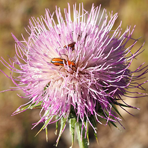 New Mexico Thistle |
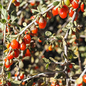 Wolfberry |
 Trailing Windmills |
 Teddybear Cholla |
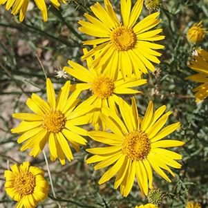
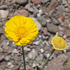 Desert Marigold |
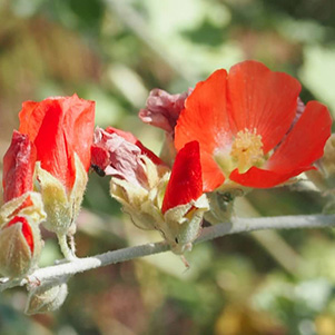 Globemallow |
 Larkspur Delphinium |
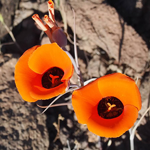 Mariposa Lily |
|
Usually, turning around results in seeing the opposite side of all the same rocks and cactuses. In our case, however, the desert flowers provided plenty of interest, and many had opened wider than when we’d hiked outward. Then we reached the Metate trail and began hiking along Cave Creek. |
 Regrouping for the Metate Trail. |
 The greenery along Cave Creek was truly astounding. |
|
The vegetation along this trail was thicker than the drier areas but to our surprise, the flowers were actually fewer. Perhaps they need the sunlight, and the Metate trail is too shady for them. By then the temperature was ninety degrees, though, so the shade and the nearby water was welcome. On our way we passed the so-called, “Solar Oasis,” an artificial pond kept full by a solar-powered pump. The shade was particularly appealing here, and it was interesting to watch for small fish and dragonflies. |
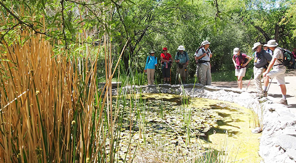 This pond is a Solar Oasis kept full of water by sunlight. |
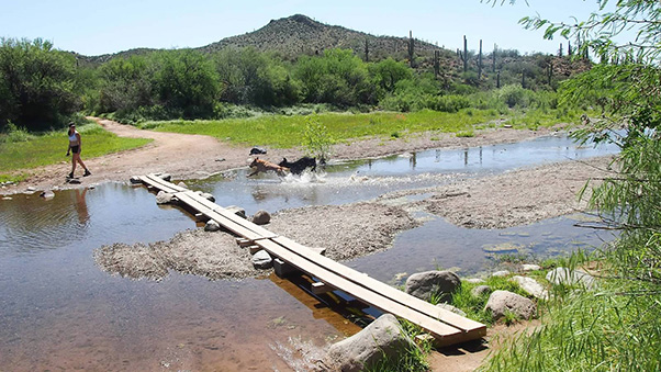 This two-lane highway made crossing Cave Creek a breeze. |
 Here we are, crossing Cave Creek. No problem! |
 Michael gives Anikó and Quy a lesson in water filtration. |
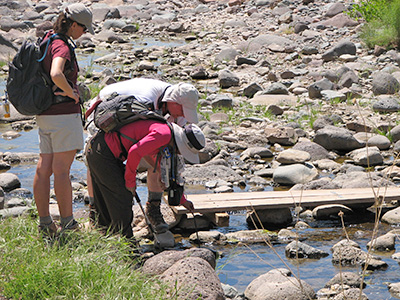
After about half a mile it was time to cross Cave Creek. No stepping here, though! The trail provided an excellent double-wide bridge for our use. Although there weren’t a lot of flowers along the Metate trail, there were a lot of large, impressive, many-armed cactuses. |
|
The Metate trail is only about a mile long, and we finished it off with no problem. After that, we hiked a quick mile back to the trailhead, missing as much of the afternoon sun as possible. Our route completed, we headed eagerly for lunch at the Buffalo Chip Saloon & Steakhouse in Cave Creek. To our surprise, though, traffic was snarled by thousands of motorcycles! The main streets were even half-closed to use the pavement for bike parking! Fortunately, though, the Buffalo Chip wasn’t especially crowded and we had no trouble getting a table. |
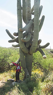 Quy gives a hand to this many-armed cactus (symbolically, of course). |
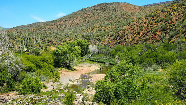 The lush vegetation along cave creek, seen here from the north end of the Metate trail. |
|||||||||||||||||||||||||||
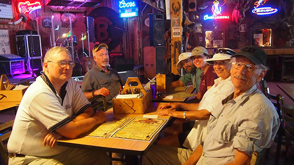 After the hike most of us relaxed and recounted at the Buffalo Chip Saloon & Steakhouse. |
|||||||||||||||||||||||||||
|
Thanks to Quy for providing most of the pictures in this report. She’s quite an excellent photographer, wouldn’t you say? Thanks to Anikó for identifying the flowers. Can’t wait ‘till next time!
|
|||||||||||||||||||||||||||
 Top of Page
Arizona Trailblazers Hiking Club, Phoenix, Arizona
Comments? Send them to the AZHC .
updated February 7, 2019