Outdoor Links
Hike Arizona
Trip Planning Guide
Trip Report Index
Calendar of Events
Library
|
Quartz Loop plus Twobit Peak Day Hike Phoenix Mountain Preserve February 21, 2015 by Dave French |
|
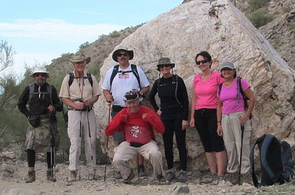 Jim, Dave F., Dave M., Bill, Barbara, Biljana, Sana. [photo by Bill] |
|
OK, sorry, this is a "B" hike. I had estimated the mileage at 7.5 and it was 8.5. I had estimated the elevation change at 1400 and it was about 2000. Fortunately all the hikers were hardy and made the hike in flying colors. Seven hikers met at the trailhead parking area before 8:00 AM, and as I feared, the lot was full. Two of us got spaces after waiting and the others had to go across the street to the commercial area to park. Even so we were all ready to roll at 8:00. We waited ten minutes for one other hiker but she did not show up or call me, so we took off on a cool partly cloudy morning. The temperature at the start was in the sixties and the weather report said the high on this day in Phoenix was 79. I suspect it was a little cooler where we were and we had a nice breeze part of the time. |
 Hikers move northward along trail 8A. |
 Teddy Bear Cholla |
 Depart Quartz Loop and head to Twobit Peak. |
 Hikers take a break in the shade: Jim, Dave M., Barbara, Sana, Biljana, Bill. |
 Nice scenery! |
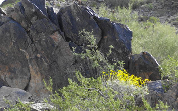 Brittlebush in bloom. |
|
We proceeded northward on trail 8A for about a half mile and stopped to make introductions and get a group photo in front of one of the large white quartz boulders we spotted along the way. We welcomed Dave as a new member and Barbara as a guest. Both were first time hikers with the club. We then began a fairly steep climb up to the junction with trail 8B. We then descended down to the junction with trail 8. At this point we left the Quartz Loop and headed eastward and then northward on trail 8 for about a mile to the point we found a crossover to the trail that heads south and up Twobit Peak. Twobit Peak was one of the peaks used in November 2014 Phoenix Summit Challenge. It was called “Dixie Peak” in the Arizona Republic for some unknown reason. I had spoken to a Phoenix Park Ranger and he could not explain it either. The sign on the trail clearly says Twobit Peak. |
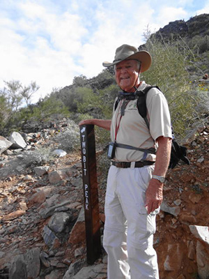 Dave, starting up Twobit Peak. |
|
The challenge participants parked at the 40th Street trailhead and hiked straight south to Twobit Peak. We approached it from the south and had to crossover to that trail. |
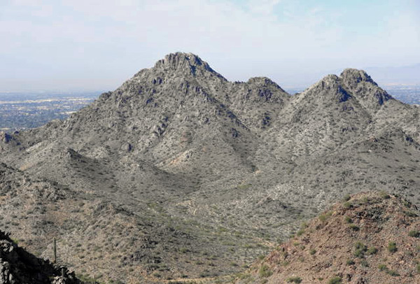 Piestewa Peak from Twobit Peak. |
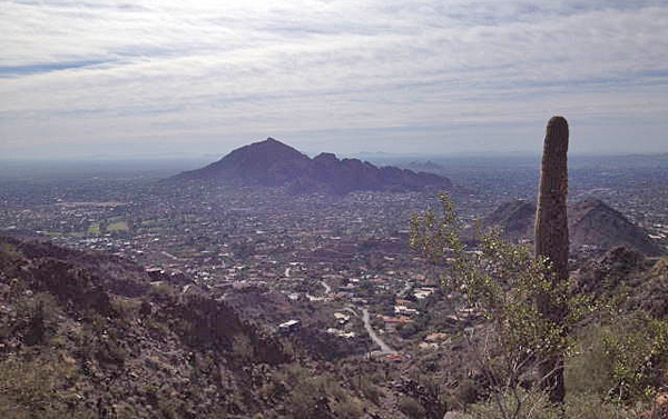 Camelback Mountain from Twobit Peak. [photo by Sana] |
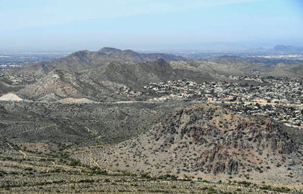 North Mountain and Shaw Butte in the distance. |
 Scottsdale Airport runway aimed right at us. |
 Downtown Phoenix is over the hill. |
|
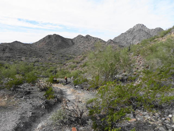
According to the newspaper article, Twobit Peak has an elevation gain of 877 feet from the 40th Street trailhead. We probably gained about 850 feet from where we got on the trail. The trail up the mountain is steep and rocky with some big steps but not too bad. Once we reached the saddle, we bared left and went to the top which is approximately 2300 feet elevation. It is higher than Shaw Butte or North Mountain but not as high as Camelback or Piestewa peaks. We reached the top about 10:30 AM and ate our snacks. Going down a steep slope is always a little challenging for this old hiker, but everyone made it down just fine. We proceeded back south on trail 8 to the junction with 8A and then continued westward on trail 8 which curves around to the base of Piestewa Peak. We continued southward to the northern most portion of the parking and picnicking area for Piestewa Peak and took advantage of the restrooms provided. The last portion of trail 8 has a steep downgrade is badly eroded with some big steps in it. We walked down the road a couple of hundred feet and then headed up trail 202 that takes us back to trail 8A within a quarter of a mile of the trailhead. |
 Mexican Gold Poppies in bloom. |
 Quartz outcropping. |
 Hikers head south on trail 8. |
|
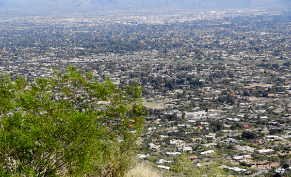
This last leg has two hills to climb but neither is too tough unless you have just hiked 8 miles and climbed almost 2000 feet. Tired legs can make anything tough. This portion of the loop has some great urban views. The trail is just above some large expensive homes that are associated with the Biltmore area. In the distance to the southwest is downtown Phoenix and to the southeast is Papago Park and Tempe in the far distance. |
 Hikers head back on last leg on trail. |
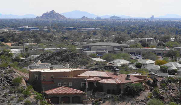 Papago Buttes in the distance. |
 Saguaro-studded hill. |
|
We arrived back at the trailhead at 1:30 PM. Most of the hikers decided to depart for home but three of us went to the restaurants in the commercial area across the street. To my amazement both restaurants were closed on a Saturday afternoon. I have eaten at both of them in the past, but maybe not often enough to keep them going. We then drove across SR 51 to Z-Tejas and had drinks and a light lunch. |
 Top of Page
Arizona Trailblazers Hiking Club, Phoenix, Arizona
Comments? Send them to the AZHC .
updated July 15, 2018