
Outdoor Links
Hike Arizona
Trip Planning Guide
Trip Report Index
Calendar of Events
Library
|
Union Peak Day Hike Phoenix, AZ March 28, 2015 by Jim Buyens |
|
Temperatures had been unseasonably high all week but, because mornings had been cool, and because seven other hikers had signed up with fair warning, I decided to go ahead with this hike anyway.
The start time was originally 8:00 AM, and I tried moving that back to 7:00 or 7:30, but some people just couldn’t make it. So we started at 8:14 and took our chances with the heat.
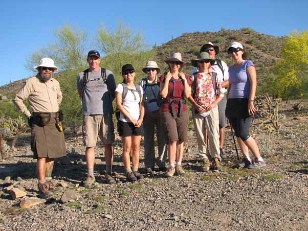 Jim, Sam, Molly, Karen, Anikó, Gabrielle, Dave, and Biljana all ready to go. |
Union Peak is located in the Phoenix Sonoran Preserve, east of I-17 and between Jomax Road and Carefree Highway. The city of Phoenix opened this area just a few years ago, and the trails are both well-graded and nicely marked. You seldom lose sight of the city but you never lose sight of the desert ecosystem.
 These “master blister beetles” (lytta magister) seemed to be having even more fun than we were. [photo by Dave] |
We started from the Desert Vista Trailhead and followed the Hawk’s Nest, Deserrt Tortoise, Valley Verde, and Great Horned Owl trails to the summit of the hike’s namesake Union Peak.
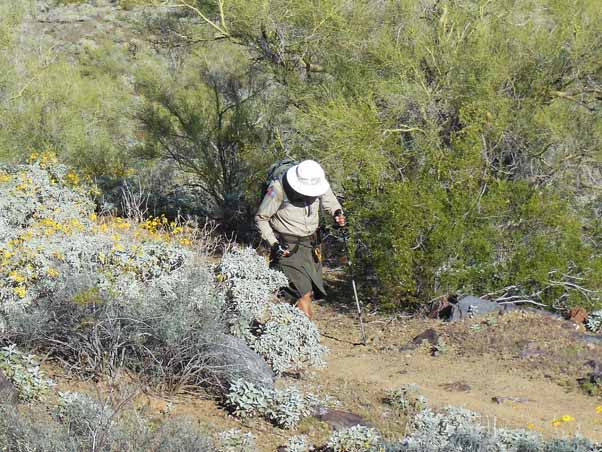 Jim works his way up a slope. [photo by Dave] |
After a short climb, the route took a dip and then headed generally uphill to the summit. However, there were no steep climbs.
 Many desert plants, including this ocotillo, were in full bloom. [photo by Dave] |
As often happens, the steepest clumb was just before reaching the summit, in this case that of Union Peak. Even that wasn’t especially difficult, though. The peak itself is actually a triple, with the end-of-trail marker on the third and final one. The view wasn’t exactly untouched by civiliation but it was three hundred and sixty degrees with plenty of desert scenery.
 Victory! Here we are at the peak of, uh, Union Peak. The UP on the trailmarker means Union Peak. It’s not direction. Otherwise, how could we go down the UP trail? I’m taking the photo here so of course you can’t see me, even if you turn around and look at the Web page in a mirror. |
From the summit we returned on the south leg of the Great Horned Owl Trail, the Valley Verde Trail (westbound), a short segment of the Dixie Mouontain Loop, and finally the Hawk’s Nest Trail that led back to the trailhead.
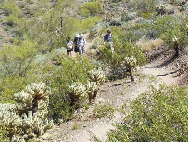 Descending from Union Peak on the south leg of the Great Horned Owl trail. [photo by Dave] |
Along the Hawk’s Nest Trail, in the arms of a giant saguaro cactus, we discovered (what else?) the nest of a great horned owl! This was doubly amazing because we hadn’t encoutered any hawk nests on the Great Horned Owl trail!
Even more exciting, the owl nest was occupied by an actual owl and her chick! Dave grabbed a quick photo but by then we’d heard a swarm of bees in the same area and decided on a hasty retreat. (Fun facts about Great Horned Owls)
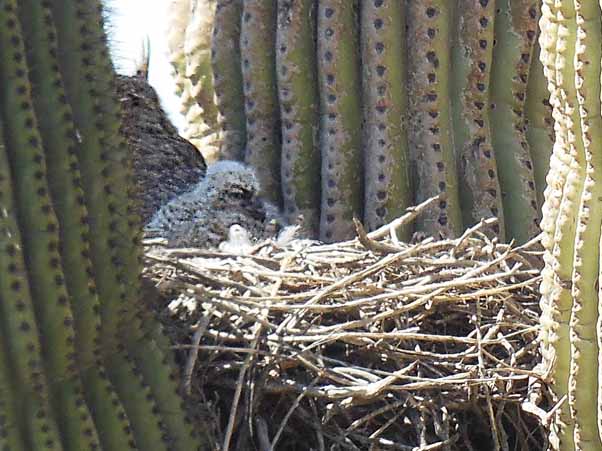 A great horned owl with her nest and offspring. Pardon the poor resolution; there were bees swarming nearby and Dave didn’t feel like hanging around. [photo by Dave] |
We got back to the trailhead at 11:40, which is pretty good for an eight-mile hike. Our average moving speed had been 2.9 mph! Part of that was having a strong group of hikers but I’m sure the desire to beat the afternoon sun played a part as well. To keep moving, we only stopped for a few quick snacks and skipped an extended lunch break altogether.
Even at 11:40 the temberature was already 88°. But that was still better than the day’s high of 95°, which tied the all-time record for the date.
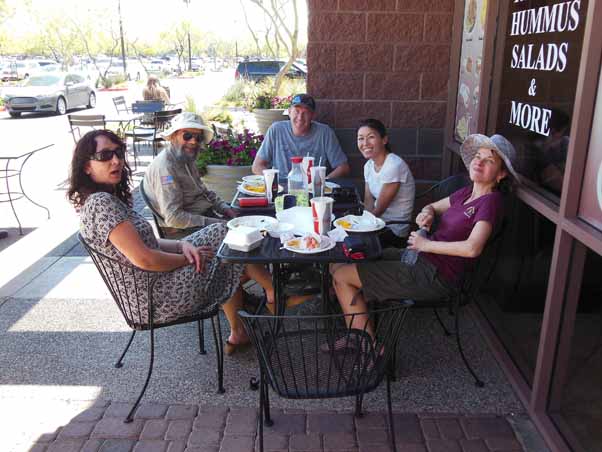 Relaxing after the hike. It was cooler in the shade. [photo by Dave] |
Speaking of lunch, after the hike some of us stopped at a local bistro named The Greek Pita, which is in the Happy Valley Towne Center at Happy Valley Road and I-17. The place isn’t fancy, the food was only average, and they didn’t have beer but the company was fastastic! Next time, eh?
| Hike Statistics | ||
| Total Distance: | 8.1 | miles |
| Starting Time: | 8:14 | AM |
| Moving Time: | 2:25 | hrs:min |
| Stopped Time: | 1:01 | hrs:min |
| Duration: | 3:26 | hrs:min |
| Finishing Time: | 11:40 | AM |
| Avg. Speed Moving: | 2.9 | mph |
| Avg. Speed Overall: | 2.1 | mph |
| Starting Elevation: | 1,668 | ft |
| Minimum Elevation: | 1,500 | ft |
| Maximum Elevation: | 2,262 | ft |
| Total Ascent: | 1,290 | ft |
| Starting Temperature: | 65 | ° |
| Finishing Temperature: | 88 | ° |
 Top of Page
Arizona Trailblazers Hiking Club, Phoenix, Arizona
Comments? Send them to the AZHC .
updated February 10, 2020